Chest opened
+${chestReward.xp} XP
Explorer
NOUVEAU ×${chestReward.collectible.quantity}
tapez pour fermer
Chest locked

Open chests in the app

Around Us is built for your phone — chests unlock when you walk, explore and capture nearby places.

Enable Location

We need your location to show you interesting places around you

Discover nearby places

Find interesting locations and hidden gems around you

Precise directions

Get accurate directions and distances to places

Your location is never shared with other users. It's only used when you tap the location button.

Log in to your account

Start exploring — it's free

Trusted by 72,884 travelers worldwide

Continue with Google
Continue with Apple
or

We will send you a code to connect

By continuing, you accept our Terms and Conditions and our Privacy Policy

Check your inbox

We've sent a pincode in your inbox. Please enter the code below.

Discussion Reviews Photo
12.1k Popularity

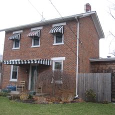
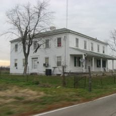
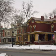
Liberty Township, Administrative division in Butler County, Ohio

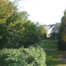
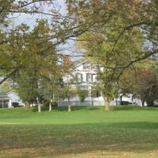
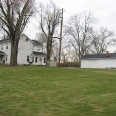
Liberty Township is an administrative division in Butler County, Ohio, encompassing multiple communities and neighborhoods across its land area. The area blends residential sections with commercial zones and maintains important transportation corridors throughout its boundaries.

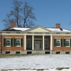
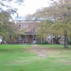
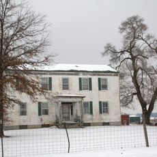
European settlement began in 1796 when John Nelson established residence in the area, marking the start of organized development. The township took its name from Liberty, Pennsylvania in 1803, reflecting ties to settlers from that region.

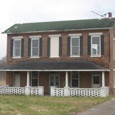
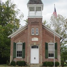
The Liberty Township Historical Society maintains records and organizes events to document the development of this Butler County community since its establishment.

Visitors can access township administration offices or use online resources to learn about services and infrastructure in the area. Road conditions and public facilities vary seasonally, so it helps to check ahead before traveling through specific sections.

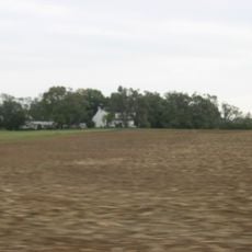
The city of Monroe sits within the township boundaries in the northeastern section, serving as a major population center in the area. Interstate 75 runs through the territory, shaping regional connectivity and economic patterns in the location.

The community of curious travelers

AroundUs brings together thousands of curated places, local tips, and hidden gems, enriched daily by 60,000 contributors worldwide.

Start exploring
Location
GPS coordinates
39.40109,-84.40972
Latest update
December 7, 2025 20:47
Around this place
LeSourdesville Lake Amusement Park
United States of America

LeSourdesville Lake Amusement Park

5.4 km
Lux Mundi
United States of America

Lux Mundi

9.3 km
Voice of America Bethany Relay Station
United States of America

Voice of America Bethany Relay Station

6.9 km
Greenwood Cemetery
United States of America

Greenwood Cemetery

11.4 km
Rentschler House
United States of America

Rentschler House

12.4 km
Williamson Mound Archeological District
United States of America

Williamson Mound Archeological District

4 km
Spread Eagle Tavern–James D. Conrey House
United States of America

Spread Eagle Tavern–James D. Conrey House

10.5 km
Becker House
United States of America

Becker House

12.4 km
Hughes Manor
United States of America

Hughes Manor

5.2 km
Henry P. Deuscher House
United States of America

Henry P. Deuscher House

6.5 km
Harding-Jones Paper Company District
United States of America

Harding-Jones Paper Company District

8.4 km
Frederick Augspurger Farm
United States of America

Frederick Augspurger Farm

7.1 km
South Main Street District
United States of America

South Main Street District

12.4 km
Mill Office and Post Office
United States of America

Mill Office and Post Office

6.7 km
Hughes School
United States of America

Hughes School

1.8 km
Samuel Augspurger House
United States of America

Samuel Augspurger House

6.7 km
Samuel Augspurger Farm
United States of America

Samuel Augspurger Farm

6.5 km
Augspurger Paper Company Rowhouse 1
United States of America

Augspurger Paper Company Rowhouse 1

6.8 km
John Kennel, Sr., Farm
United States of America

John Kennel, Sr., Farm

8.8 km
Dayton-Campbell Historic District
United States of America

Dayton-Campbell Historic District

12.2 km
Augspurger Schoolhouse
United States of America

Augspurger Schoolhouse

6.8 km
John Kennel Jr. Farm
United States of America

John Kennel Jr. Farm

7.6 km
John Augspurger Farm No. 2
United States of America

John Augspurger Farm No. 2

8.7 km
Augspurger Paper Company Rowhouse 2
United States of America

Augspurger Paper Company Rowhouse 2

6.8 km
Christian Ehresman Farm
United States of America

Christian Ehresman Farm

8.6 km
John Augspurger Farm No. 1
United States of America

John Augspurger Farm No. 1

6.9 km
Christian Iutzi Farm
United States of America

Christian Iutzi Farm

6.4 km
WLW Tower
United States of America

WLW Tower

9.1 km
Show the full map
Reviews
Share your experience

No review yet

Discussions
Start a discussion...

No discussion yet

« Liberty Township - Administrative division in Butler County, Ohio » is provided by Around Us (aroundus.com). Images and texts are derived from Wikimedia project under a Creative Commons license. You are allowed to copy, distribute, and modify copies of this page, under the conditions set by the license, as long as this note is clearly visible.

Discover hidden gems everywhere you go!

From secret cafés to breathtaking viewpoints, skip the crowded tourist spots and find places that match your style. Our app makes it easy with voice search, smart filtering, route optimization, and insider tips from travelers worldwide. Download now for the complete mobile experience.

Around Us App Screenshot

A unique approach to discovering new places

Le Figaro

All the places worth exploring

France Info

A tailor-made excursion in just a few clicks

20 Minutes

Around Us
Travel Guide & Maps
Download

Send to your phone

QR Code
1

Open the camera app on your mobile.

2

Point at the QR code with your camera. A notification will appear.

3

Tap the notification to open the link.