Butler County

Log in to your account

AroundUs is a community-driven map of interesting places, built by curious explorers like you. It grows with every review, story, and photo you share.
Connect to save your favorite spots, contribute locations, and create personalized routes.
Continue with Google
Continue with Apple
Continue with X
Continue with Facebook
Continue with email
By continuing, you accept our Terms and Conditions and our Privacy Policy
Create an account
Add to collection
Map
Suggest a change
Share

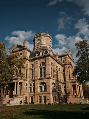
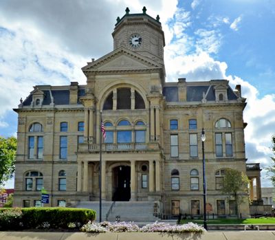
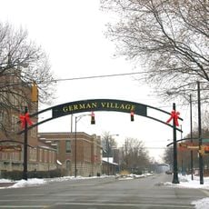
Butler County, Administrative county in southwestern Ohio, United States

Butler County is an administrative division in southwestern Ohio that encompasses urban centers and rural communities along the Great Miami River. The territory includes Hamilton as its administrative seat and supports multiple school districts and government services throughout its area.

The territory became Butler County in 1803 and was named after General Richard Butler, who died in St. Clair's Defeat in 1791. This establishment marked the beginning of organized American settlement in southwestern Ohio during the early national period.

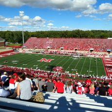
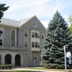
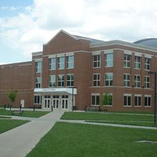
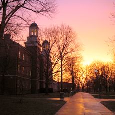
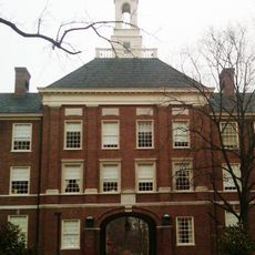
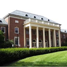
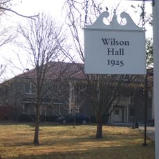
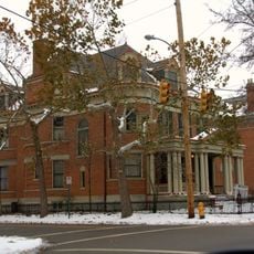
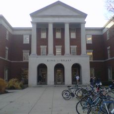
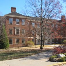
Miami University has shaped the region's educational identity since its founding and draws students from across the state and beyond. The institution serves as a cultural hub that hosts academic events and enriches the area's intellectual life.

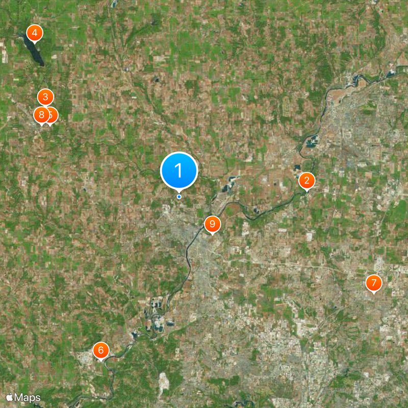
The county is easily navigable by car, with various entry points providing access to parks and public facilities throughout the area. Hamilton serves as a central hub where visitors can access services and begin exploring the surrounding communities.

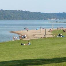
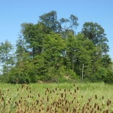
Hueston Woods State Park preserves nearly 3600 acres of old-growth forest with beech and maple trees, showing what the landscape looked like before European settlement. This type of woodland is now uncommon and gives visitors a rare look at the region's original natural conditions.

Location: Ohio

Inception: May 1, 1803

Capital city: Hamilton

Reference: BUT

Part of: Cincinnati metropolitan area

Shares border with: Preble County, Hamilton County, Montgomery County, Warren County, Dearborn County, Franklin County, Union County

Website: https://bcohio.gov

GPS coordinates: 39.44000,-84.58000

Latest update: December 14, 2025 18:57

Photos
Around this place
Show the full map
Reviews

Visited this place? Tap the stars to rate it and share your experience / photos with the community! Try now! You can cancel it anytime.

Administrative divisions
« Butler County - Administrative county in southwestern Ohio, United States » is provided by Around Us (aroundus.com). Images and texts are derived from Wikimedia project under a Creative Commons license. You are allowed to copy, distribute, and modify copies of this page, under the conditions set by the license, as long as this note is clearly visible.

Discover hidden gems everywhere you go!

From secret cafés to breathtaking viewpoints, skip the crowded tourist spots and find places that match your style. Our app makes it easy with voice search, smart filtering, route optimization, and insider tips from travelers worldwide. Download now for the complete mobile experience.

Around Us App Screenshot

A unique approach to discovering new places

Le Figaro

All the places worth exploring

France Info

A tailor-made excursion in just a few clicks

20 Minutes