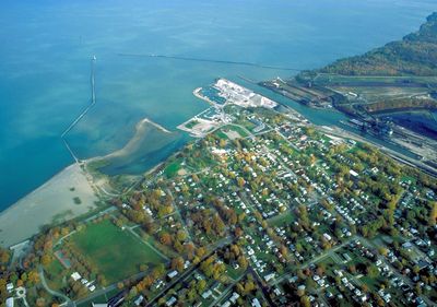
Conneaut, city in Ashtabula County, Ohio, United States
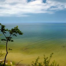
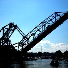
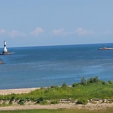
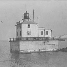
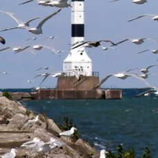
Conneaut is a city in northeastern Ohio, in Ashtabula County, sitting directly on the southern shore of Lake Erie. It has residential streets, a small downtown, and an active cargo harbor where ore and coal freighters regularly dock.
Conneaut was established in the early 1800s as a port settlement and grew into an industrial hub due to its position on Lake Erie. The expansion of steel production in the late 1800s and early 1900s made it a key stop for raw materials moving between mining regions and the mills further inland.
The working harbor gives Conneaut a texture that sets it apart from typical lakefront towns, with freight trains and cargo ships forming part of the daily backdrop. Locals tend to gather near the water in warmer months, especially around the public beach on the western edge of town.
Conneaut sits close to Interstate 90 and is easy to reach by car, with parking available near the harbor and the small downtown. Winters along the lakeshore tend to be windy and cold, so a visit in late spring through early fall makes for more comfortable conditions.
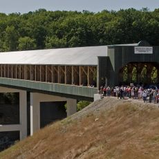
Conneaut served as a filming location for the 1952 Cecil B. DeMille film "The Greatest Show on Earth," which later won the Academy Award for Best Picture. The train wreck sequence in the film was shot on a real stretch of track near the city.
The community of curious travelers
AroundUs brings together thousands of curated places, local tips, and hidden gems, enriched daily by 60,000 contributors worldwide.