Chest opened
+${chestReward.xp} XP
Explorer
NOUVEAU ×${chestReward.collectible.quantity}
tapez pour fermer
Chest locked

Open chests in the app

Around Us is built for your phone — chests unlock when you walk, explore and capture nearby places.

Enable Location

We need your location to show you interesting places around you

Discover nearby places

Find interesting locations and hidden gems around you

Precise directions

Get accurate directions and distances to places

Your location is never shared with other users. It's only used when you tap the location button.

Log in to your account

Start exploring — it's free

Trusted by 73,051 travelers worldwide

Continue with Google
Continue with Apple
or

We will send you a code to connect

By continuing, you accept our Terms and Conditions and our Privacy Policy

Check your inbox

We've sent a pincode in your inbox. Please enter the code below.

California's 20th congressional district
Discussion Reviews Photo
28.2k Popularity

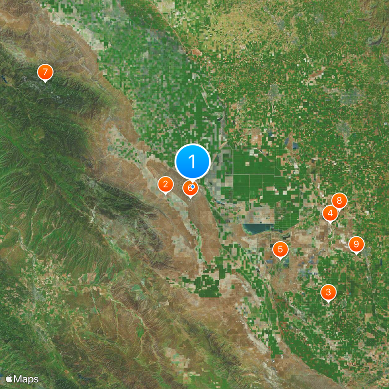
California's 20th congressional district, Congressional district in Central Valley, California

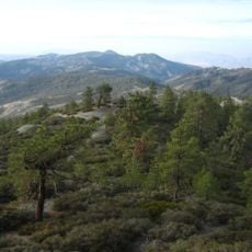
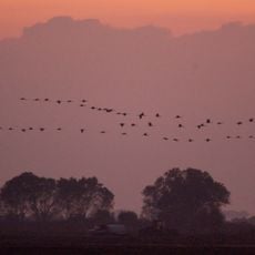
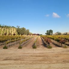
California's 20th congressional district spans Kern, Tulare, Kings, and Fresno counties, including portions of Bakersfield, Visalia, and surrounding rural areas. The district extends from the San Joaquin Valley floor to foothills of the Sierra Nevada and fringes of the Mojave Desert to the southeast.

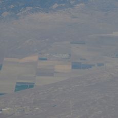
The district was redrawn after the 2022 redistricting and has since focused on the San Joaquin Valley, having previously covered parts of California's Central and Southern Coast. This redesign substantially altered political representation for agricultural communities in the area.

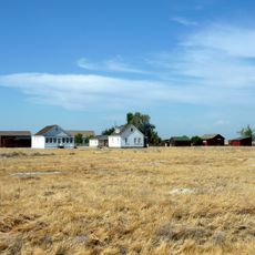
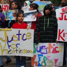
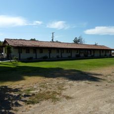
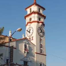
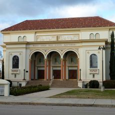
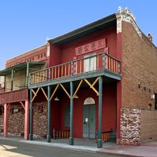
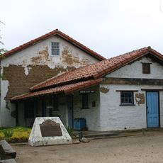
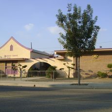
The district is home to agricultural communities whose farming heritage shapes local identity across multiple towns and rural areas. These settlements maintain distinct traditions while functioning as part of a broader political region.

The district operates through voter registration and polling locations during congressional elections across its counties and towns. Residents can access constituent services and district information at offices located in the larger cities throughout the region.

The district has an unusual shape with three bulges extending westward into the valley, connecting different agricultural areas together. This geometry reflects how rural economies and communities shaped the district's boundaries during redistricting.

The community of curious travelers

AroundUs brings together thousands of curated places, local tips, and hidden gems, enriched daily by 60,000 contributors worldwide.

Start exploring
Location
GPS coordinates
36.00000,-120.00000
Latest update
December 20, 2025 12:51
Around this place
Avenal State Prison
United States of America

Avenal State Prison

11.2 km
United States of America

Wasco State Prison

69.9 km
Colonel Allensworth State Historic Park
United States of America

Colonel Allensworth State Historic Park

55.7 km
Kern National Wildlife Refuge
United States of America

Kern National Wildlife Refuge

44.6 km
Kettleman Hills Hazardous Waste Facility
United States of America

Kettleman Hills Hazardous Waste Facility

4.3 km
San Benito mountain
United States of America

San Benito mountain

71 km
Pixley National Wildlife Refuge
United States of America

Pixley National Wildlife Refuge

58.2 km
The Forty Acres
United States of America

The Forty Acres

69.5 km
Visalia Fox Theatre
United States of America

Visalia Fox Theatre

73.2 km
Wasco Union High School
United States of America

Wasco Union High School

74.3 km
Taoist Temple
United States of America

Taoist Temple

48.9 km
Rios-Caledonia Adobe
United States of America

Rios-Caledonia Adobe

69.5 km
Sequoia Springs
United States of America

Sequoia Springs

68.6 km
Hanford Carnegie Museum
United States of America

Hanford Carnegie Museum

48.5 km
Bank of Italy
United States of America

Bank of Italy

73.8 km
Mill Creek
United States of America

Mill Creek

64.5 km
Bowlero Visalia
United States of America

Bowlero Visalia

70.5 km
Visalia Branch Library
United States of America

Visalia Branch Library

73.5 km
Estrella Adobe Church
United States of America

Estrella Adobe Church

67.9 km
Hyde House
United States of America

Hyde House

73.3 km
Kings County Courthouse
United States of America

Kings County Courthouse

48.4 km
Bank of Italy
United States of America

Bank of Italy

74.8 km
United States of America

Parkfield Interventional EQ Fieldwork

40.7 km
The Pioneer
United States of America

The Pioneer

69.3 km
Franklin Hot Springs
United States of America

Franklin Hot Springs

74 km
Visalia Buddhist Church
United States of America

Visalia Buddhist Church

73.9 km
Sculpterra Winery and Sculpture Garden
United States of America

Sculpterra Winery and Sculpture Garden

70.8 km
Kelly Slater's Wave Pool
United States of America

Kelly Slater's Wave Pool

34.1 km
Show the full map
Reviews
Share your experience

No review yet

Discussions
Start a discussion...

No discussion yet

« California's 20th congressional district - Congressional district in Central Valley, California » is provided by Around Us (aroundus.com). Images and texts are derived from Wikimedia project under a Creative Commons license. You are allowed to copy, distribute, and modify copies of this page, under the conditions set by the license, as long as this note is clearly visible.

Discover hidden gems everywhere you go!

From secret cafés to breathtaking viewpoints, skip the crowded tourist spots and find places that match your style. Our app makes it easy with voice search, smart filtering, route optimization, and insider tips from travelers worldwide. Download now for the complete mobile experience.

Around Us App Screenshot

A unique approach to discovering new places

Le Figaro

All the places worth exploring

France Info

A tailor-made excursion in just a few clicks

20 Minutes

Around Us
Travel Guide & Maps
Download

Send to your phone

QR Code
1

Open the camera app on your mobile.

2

Point at the QR code with your camera. A notification will appear.

3

Tap the notification to open the link.