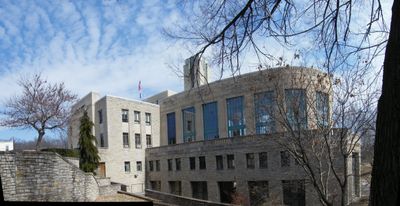
Excelsior Springs, city in Clay County, Missouri, United States
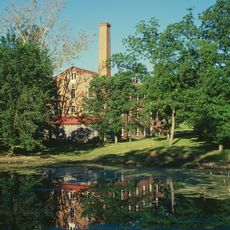
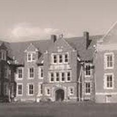
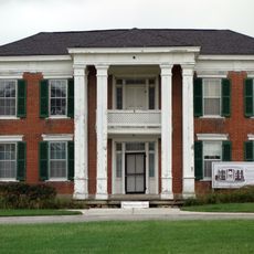
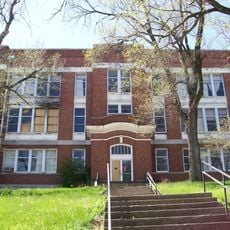
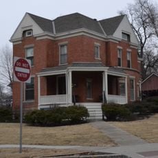
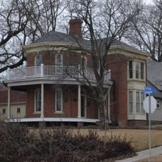
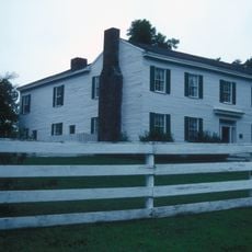
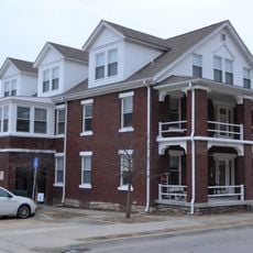
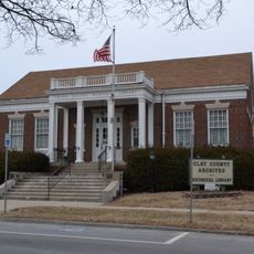
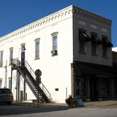
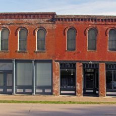
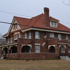
Excelsior Springs is a city in Clay County, Missouri that developed around natural mineral springs. The city features spa facilities, historic buildings, and green spaces that create a small-town character and sense of place.
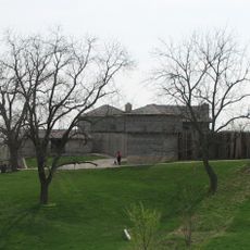
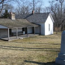
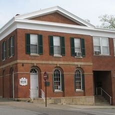
The city was founded in the late 1880s when entrepreneurs recognized the healing properties of the mineral springs and developed the area as a spa destination. These origins as a wellness resort shaped the city for decades to come.
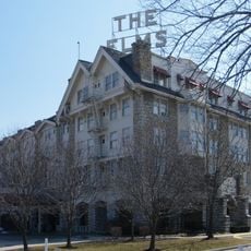
The city grew around natural mineral springs that remain central to its identity today. Visitors can experience the spa and wellness tradition that developed around these waters through local facilities and attractions.
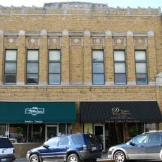
Spring and fall offer the most comfortable conditions for exploring the city, with mild weather and good visibility. Most attractions and spa facilities are located downtown and can be reached on foot.
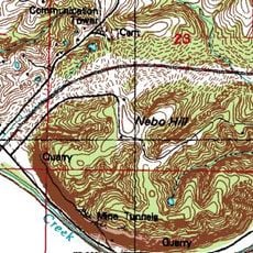
The mineral springs here contain rare minerals in a composition found in very few places worldwide. This geological feature has made the waters known to wellness enthusiasts across different countries.
The community of curious travelers
AroundUs brings together thousands of curated places, local tips, and hidden gems, enriched daily by 60,000 contributors worldwide.