Clay County

Log in to your account

AroundUs is a community-driven map of interesting places, built by curious explorers like you. It grows with every review, story, and photo you share.
Connect to save your favorite spots, contribute locations, and create personalized routes.
Continue with Google
Continue with Apple
Continue with X
Continue with Facebook
Continue with email
By continuing, you accept our Terms and Conditions and our Privacy Policy
Create an account
Add to collection
Map
Suggest a change
Share

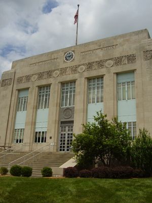
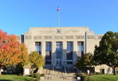
Clay County, Administrative county in Missouri, US

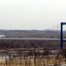
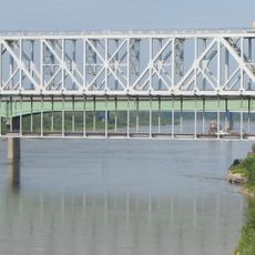
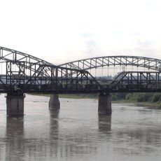
Clay County is a county north of Kansas City featuring towns like Liberty and Excelsior Springs surrounded by lakes, river areas, and farmland. The region encompasses varied landscapes with residential neighborhoods interspersed among open green spaces and small business areas.

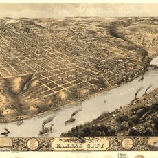
The county was established in 1822 and named after Henry Clay, a US statesman who served as Secretary of State. The area developed as a settlement zone along the Missouri River with strong ties to early westward expansion.

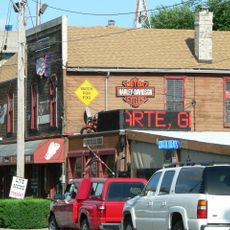
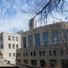
Liberty's downtown area reflects how residents have built their community identity through local businesses and gathering spaces that serve as natural meeting points. The town maintains this character by keeping shops and squares where people continue to connect across generations.

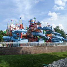
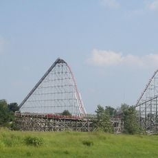
Liberty is worth visiting to explore historic sites and shops, while nearby lakes offer recreational activities for families. The area is car-dependent, so having a vehicle helps reach different towns and outdoor spaces scattered throughout the county.

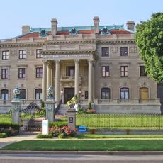
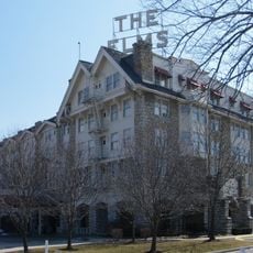
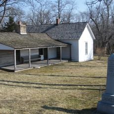
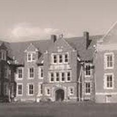
Excelsior Springs was once known as a resort destination with mineral springs that drew visitors from across the region. Historic buildings in the town today still reflect this past as a health spa destination centered on natural mineral water.

Location: Missouri

Inception: January 2, 1822

Capital city: Liberty

Shares border with: Clinton County, Jackson County, Platte County, Ray County, Wyandotte County

Website: https://claycountymo.gov

GPS coordinates: 39.31000,-94.42000

Latest update: December 17, 2025 08:38

Photos
Reviews

Visited this place? Tap the stars to rate it and share your experience / photos with the community! Try now! You can cancel it anytime.

Administrative divisions
« Clay County - Administrative county in Missouri, US » is provided by Around Us (aroundus.com). Images and texts are derived from Wikimedia project under a Creative Commons license. You are allowed to copy, distribute, and modify copies of this page, under the conditions set by the license, as long as this note is clearly visible.

Discover hidden gems everywhere you go!

From secret cafés to breathtaking viewpoints, skip the crowded tourist spots and find places that match your style. Our app makes it easy with voice search, smart filtering, route optimization, and insider tips from travelers worldwide. Download now for the complete mobile experience.

Around Us App Screenshot

A unique approach to discovering new places

Le Figaro

All the places worth exploring

France Info

A tailor-made excursion in just a few clicks

20 Minutes