
Frontenac, city in Missouri, USA
Location: St. Louis County
Elevation above the sea: 176 m
Website: http://www.cityoffrontenac.org/
Website: http://cityoffrontenac.org
GPS coordinates: 38.63390,-90.41780
Latest update: April 5, 2025 10:29

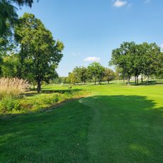
Bellerive Country Club
6.4 km
Kirkwood City Council shooting
6.1 km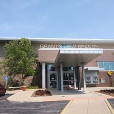
St. Louis County Library
1.2 km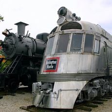
National Museum of Transportation
7.9 km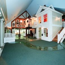
The Magic House, St. Louis Children's Museum
6.8 km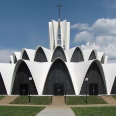
Saint Louis Abbey
5.4 km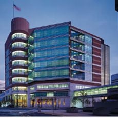
St. Louis County Jail
7.1 km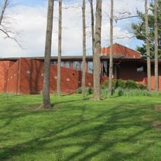
Kraus House
6.1 km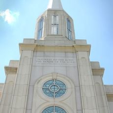
St. Louis Missouri Temple
4.1 km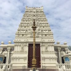
Hindu Temple of St. Louis
7.4 km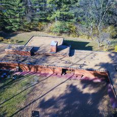
Theodore A. Pappas House
5.8 km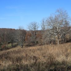
Queeny Park
6.7 km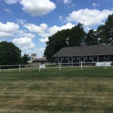
Cragwold
8.9 km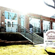
Kirkwood Public Library
5.9 km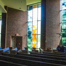
Congregation Shaare Emeth
3.2 km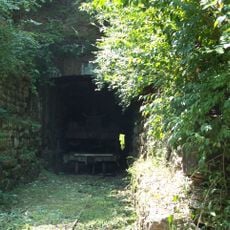
Barretts Tunnels
8.2 km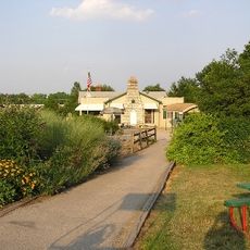
Ruth Park Golf Course
7.2 km
Olivette Lanes
5.4 km
St. Louis Modern Chinese School
8.7 km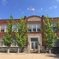
J. Milton Turner School
7.8 km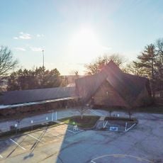
Temple Emanuel
2.7 km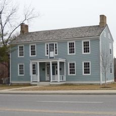
Fairfax House
5.4 km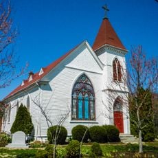
Olive Chapel African Methodist Episcopal Church
6.2 km
Greenwood Historic District
9 km
Beverly Theater
8.2 km
Des Peres Presbyterian Church
1.3 km
Brentwood Public Library
6.3 km
Rudolph and Dorothy C. Czufin House
4.3 kmReviews
Visited this place? Tap the stars to rate it and share your experience / photos with the community! Try now! You can cancel it anytime.
Discover hidden gems everywhere you go!
From secret cafés to breathtaking viewpoints, skip the crowded tourist spots and find places that match your style. Our app makes it easy with voice search, smart filtering, route optimization, and insider tips from travelers worldwide. Download now for the complete mobile experience.

A unique approach to discovering new places❞
— Le Figaro
All the places worth exploring❞
— France Info
A tailor-made excursion in just a few clicks❞
— 20 Minutes