St. Louis County

Log in to your account

AroundUs is a community-driven map of interesting places, built by curious explorers like you. It grows with every review, story, and photo you share.
Connect to save your favorite spots, contribute locations, and create personalized routes.
By continuing, you accept our Terms and Conditions and our Privacy Policy
Add to collection
Map
Suggest a change
Share

St. Louis County, County in Missouri, United States

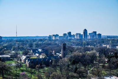
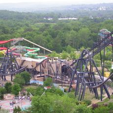
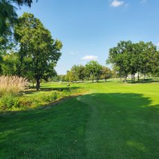
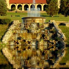
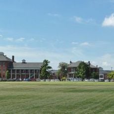
St. Louis County is an administrative area in Missouri that wraps around the southern and western sides of the city of St. Louis, covering several smaller towns and wooded areas along the Mississippi River. The landscape alternates between densely built residential neighborhoods, commercial zones, and green park spaces that give the area a suburban character.

The area formed during the westward expansion of the United States and became officially part of Missouri Territory after the French colonial period. Later, the region developed into a center for trade and industry, with many European immigrants establishing new settlements here.

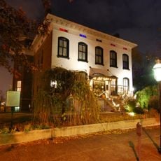
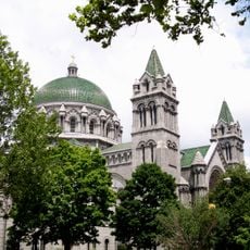
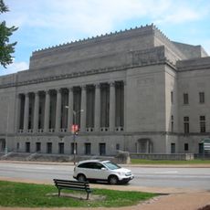
The name connects the region directly to French history and King Louis IX, whose legacy remains visible in street names and public buildings today. Visitors notice the mix of older brick neighborhoods and modern suburbs, where families use parks and shopping centers.

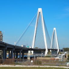
Travelers find many crossroads of major highways here, which simplify orientation and trips toward nearby cities and attractions. Public transport connects some neighborhoods, but a vehicle makes access to more remote destinations much easier.

The boundary between the area and the city of St. Louis runs partly through built-up streets, so visitors sometimes cross from one administrative zone to another without noticing. This division dates back to a decision in the 19th century, when both territories were organized separately.

Location: Missouri

Inception: 1812

Capital city: Clayton

Shares border with: St. Charles County, St. Louis, Jefferson County, Madison County, Franklin County, St. Clair County, Monroe County

Website: https://stlouiscountymo.gov

GPS coordinates: 38.64000,-90.44000

Latest update: December 4, 2025 23:00

Around this place
Show the full map
Gateway Arch
United States of America

Gateway Arch

22.2 km
The Dome at America's Center
United States of America

The Dome at America's Center

21.9 km
Eads Bridge
United States of America

Eads Bridge

23.4 km
Six Flags St. Louis
United States of America

Six Flags St. Louis

24.9 km
Busch Memorial Stadium
United States of America

Busch Memorial Stadium

21.6 km
City Museum
United States of America

City Museum

20.8 km
Lemp Mansion
United States of America

Lemp Mansion

20.2 km
Bellerive Country Club
United States of America

Bellerive Country Club

4.3 km
Forest Park
United States of America

Forest Park

13.5 km
World Wide Technology Raceway at Gateway
United States of America

World Wide Technology Raceway at Gateway

26.5 km
Wainwright Building
United States of America

Wainwright Building

21.6 km
Missouri Botanical Garden
United States of America

Missouri Botanical Garden

16 km
Chain of Rocks Bridge
United States of America

Chain of Rocks Bridge

26.5 km
Saint Louis Zoo
United States of America

Saint Louis Zoo

13 km
Saint Louis Art Museum
United States of America

Saint Louis Art Museum

12.7 km
Harris–Stowe State University
United States of America

Harris–Stowe State University

17.8 km
Jefferson Barracks Military Post
United States of America

Jefferson Barracks Military Post

21.2 km
Fox Theatre
United States of America

Fox Theatre

18.1 km
Kiel Auditorium
United States of America

Kiel Auditorium

20.8 km
St. Louis County Library
United States of America

St. Louis County Library

3.2 km
St. Louis Public Library
United States of America

St. Louis Public Library

20.9 km
Anheuser-Busch Brewery
United States of America

Anheuser-Busch Brewery

20.4 km
Stifel Theatre
United States of America

Stifel Theatre

20.8 km
Ballpark Village
United States of America

Ballpark Village

21.6 km
Jefferson Barracks National Cemetery
United States of America

Jefferson Barracks National Cemetery

20.5 km
Old Courthouse
United States of America

Old Courthouse

21.9 km
National Museum of Transportation
United States of America

National Museum of Transportation

7.8 km
Hollywood Casino Amphitheatre
United States of America

Hollywood Casino Amphitheatre

11.9 km
Show the full map

Reviews

Visited this place? Tap the stars to rate it and share your experience / photos with the community! Try now! You can cancel it anytime.

Administrative divisions
« St. Louis County - County in Missouri, United States » is provided by Around Us (aroundus.com). Images and texts are derived from Wikimedia project under a Creative Commons license. You are allowed to copy, distribute, and modify copies of this page, under the conditions set by the license, as long as this note is clearly visible.

Discover hidden gems everywhere you go!

From secret cafés to breathtaking viewpoints, skip the crowded tourist spots and find places that match your style. Our app makes it easy with voice search, smart filtering, route optimization, and insider tips from travelers worldwide. Download now for the complete mobile experience.

Around Us App Screenshot

A unique approach to discovering new places

Le Figaro

All the places worth exploring

France Info

A tailor-made excursion in just a few clicks

20 Minutes