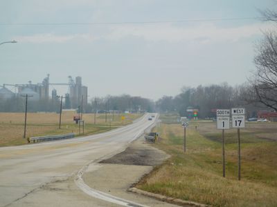
Illinois Route 1, state highway in Illinois, United States
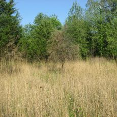
Illinois Route 1 is a two-lane road in the state of Illinois, running along the eastern side of the state from the Ohio River northward. The route passes through farmland, stretches of forest, and a series of small towns spread across the southern and central parts of the state.
The road follows the path of the Vincennes Trace, an old trail used by Native Americans long before European settlement, which traders later adopted to move between remote communities. It was officially designated as Illinois Route 1 in 1918, becoming one of the first numbered roads in the state.
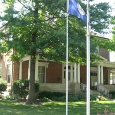
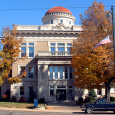
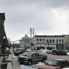
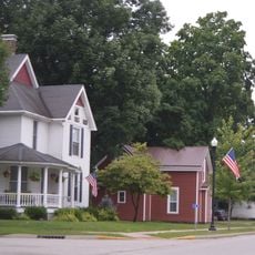
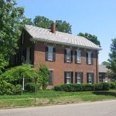
The road follows a corridor that has connected small communities for generations, and that sense of continuity is still visible in the towns along the way. Local diners, grain elevators, and modest main streets give the drive a feel of everyday rural life in the American Midwest.
The road is best traveled by car, since public transport along the route is limited. Driving at a relaxed pace and stopping in small towns along the way makes for a more rewarding experience than rushing through.
At the southern end of the route, travelers cross the Ohio River not by bridge but by ferry, a service that has linked Illinois and Kentucky for generations. This crossing is one of the few remaining river ferries still operating in the region and gives the start of the drive a character that no bridge can replicate.
The community of curious travelers
AroundUs brings together thousands of curated places, local tips, and hidden gems, enriched daily by 60,000 contributors worldwide.