Enable Location

We need your location to show you interesting places around you

Discover nearby places

Find interesting locations and hidden gems around you

Precise directions

Get accurate directions and distances to places

Your location is never shared with other users. It's only used when you tap the location button.

St. Clairsville

Log in to your account

Start exploring — it's free

Trusted by 61,878 travelers worldwide

Continue with Google
Continue with Apple
or

We will send you a code to connect

By continuing, you accept our Terms and Conditions and our Privacy Policy

Check your inbox

We've sent a pincode in your inbox. Please enter the code below.

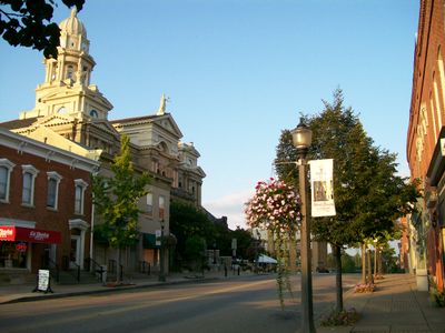
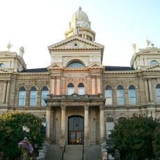
St. Clairsville, County seat in Belmont County, Ohio, United States.

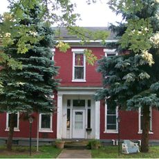
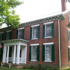
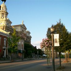
St. Clairsville is the county seat of Belmont County in southeastern Ohio, situated within a gently rolling landscape. The town serves as the local administrative center for the county government and its surrounding region.

The settlement began in 1796 as Newellstown but was renamed in 1802 to honor Arthur St. Clair, governor of the Northwest Territory. This change reflected its growing importance as a local administrative seat.

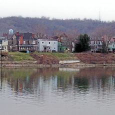
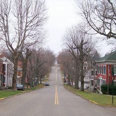
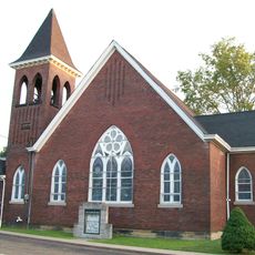
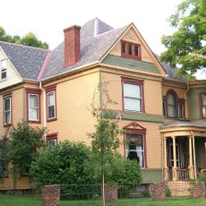
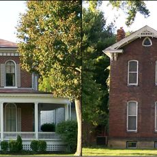
The town contains several places of worship, schools, and shops that form the everyday gathering places for the community. These establishments create a local hub where people conduct daily life and connect with neighbors.

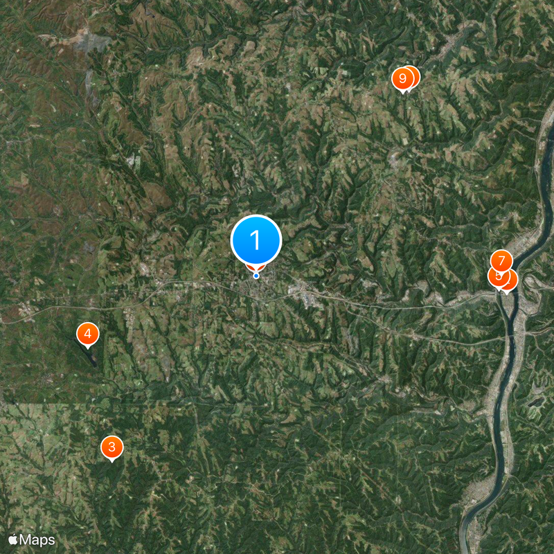
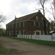
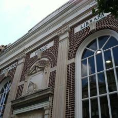
Visitors can access local services at municipal buildings during weekday hours. The town sits within a region offering various amenities and facilities worth exploring.

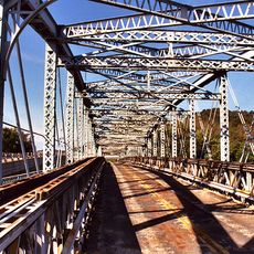
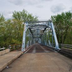
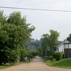
A bicycle path runs along the historic National Road, connecting through nearby shopping areas with some stretches featuring tunnels. This route offers a glimpse into an old trade corridor that shaped the region.

The community of curious travelers

AroundUs brings together thousands of curated places, local tips, and hidden gems, enriched daily by 60,000 contributors worldwide.

Start exploring
Location
Inception
1801
Elevation above the sea
388 m
GPS coordinates
40.07940,-80.90140
Latest update
December 20, 2025 12:28
Around this place
Wheeling Island
United States of America

Wheeling Island

14.4 km
Dysart Woods
United States of America

Dysart Woods

13.4 km
Barkcamp State Park
United States of America

Barkcamp State Park

10.4 km
Bridgeport Bridge
United States of America

Bridgeport Bridge

13.9 km
Belmont County Courthouse
United States of America

Belmont County Courthouse

131 m
Aetnaville Bridge
United States of America

Aetnaville Bridge

14 km
Mount Pleasant Historic District
United States of America

Mount Pleasant Historic District

13.7 km
Friends Meetinghouse
United States of America

Friends Meetinghouse

13.4 km
Blaine Hill "S" Bridge
United States of America

Blaine Hill "S" Bridge

7 km
Wheeling Island Historic District
United States of America

Wheeling Island Historic District

14.4 km
Brick Tavern House
United States of America

Brick Tavern House

7 km
Shaeffer Campbell Covered Bridge
United States of America

Shaeffer Campbell Covered Bridge

6 km
Concord Hicksite Friends Meeting House
United States of America

Concord Hicksite Friends Meeting House

10.3 km
United States of America

Military Order of the Purple Heart Bridge

13.9 km
Great Western Schoolhouse
United States of America

Great Western Schoolhouse

6.8 km
Benjamin Lundy House
United States of America

Benjamin Lundy House

13.5 km
Opatrny Village Site
United States of America

Opatrny Village Site

3.6 km
Rock Hill Presbyterian Church
United States of America

Rock Hill Presbyterian Church

11.9 km
Joseph Kirkwood House
United States of America

Joseph Kirkwood House

13.4 km
James Kinney Farmstead
United States of America

James Kinney Farmstead

12 km
St. Clairsville Public Library
United States of America

St. Clairsville Public Library

101 m
St. Clairsville Historic District
United States of America

St. Clairsville Historic District

131 m
Belmont Historic District
United States of America

Belmont Historic District

13.2 km
Dr. Lindley Schooley House and Office
United States of America

Dr. Lindley Schooley House and Office

13.2 km
Thomas T. and Wesley B. Frasier Houses
United States of America

Thomas T. and Wesley B. Frasier Houses

12.1 km
United States of America

Village of Mount Pleasant Historic District

13.8 km
Benjamin Lundy Home
United States of America

Benjamin Lundy Home

13.5 km
United States of America

Belmont Lake

10.6 km
Show the full map
« St. Clairsville - County seat in Belmont County, Ohio, United States » is provided by Around Us (aroundus.com). Images and texts are derived from Wikimedia project under a Creative Commons license. You are allowed to copy, distribute, and modify copies of this page, under the conditions set by the license, as long as this note is clearly visible.

Discover hidden gems everywhere you go!

From secret cafés to breathtaking viewpoints, skip the crowded tourist spots and find places that match your style. Our app makes it easy with voice search, smart filtering, route optimization, and insider tips from travelers worldwide. Download now for the complete mobile experience.

Around Us App Screenshot

A unique approach to discovering new places

Le Figaro

All the places worth exploring

France Info

A tailor-made excursion in just a few clicks

20 Minutes

Around Us
Travel Guide & Maps
Download

Send to your phone

QR Code
1

Open the camera app on your mobile.

2

Point at the QR code with your camera. A notification will appear.

3

Tap the notification to open the link.