Enable Location

We need your location to show you interesting places around you

Discover nearby places

Find interesting locations and hidden gems around you

Precise directions

Get accurate directions and distances to places

Your location is never shared with other users. It's only used when you tap the location button.

Belmont County

Log in to your account

Start exploring — it's free

Trusted by 61,454 travelers worldwide

Continue with Google
Continue with Apple
or

We will send you a code to connect

By continuing, you accept our Terms and Conditions and our Privacy Policy

Check your inbox

We've sent a pincode in your inbox. Please enter the code below.

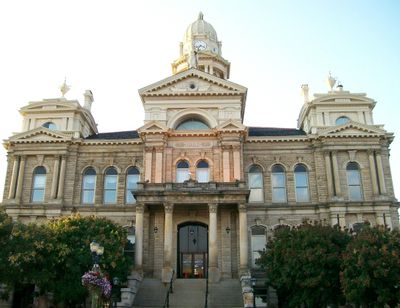
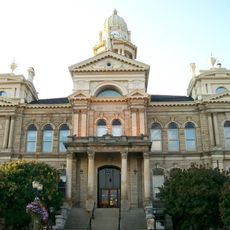
Belmont County, Administrative county in Ohio, United States.

Description

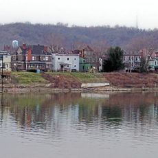
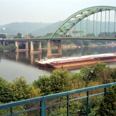
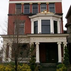
Belmont County is an administrative county in Ohio with St. Clairsville as its county seat and several residential communities spread throughout. The area blends rural character with developing residential and commercial zones.

History

The county was established in 1801, marking the start of structured local governance in eastern Ohio. This early foundation shaped how the region developed over the following centuries.

Culture

Local communities here maintain strong bonds through regular county fairs and seasonal celebrations that gather residents together. These gatherings shape daily life and show how people nurture their sense of belonging.

Practical

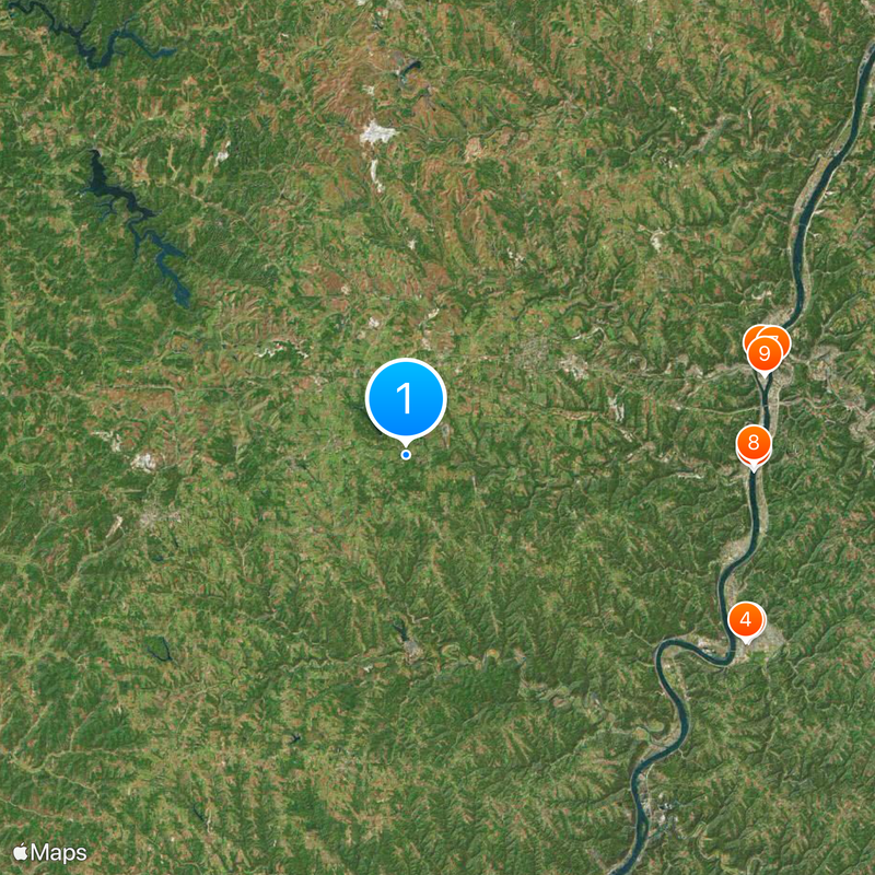
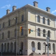
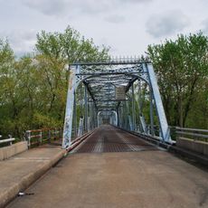
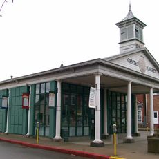
The county contains several small towns that serve as anchors for local services including law enforcement, public health, and road maintenance. When exploring, these town centers are good starting points for finding county services.

Did you know?

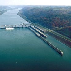
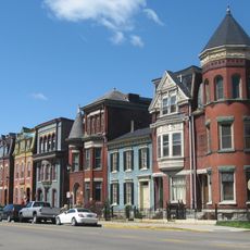
The area shows an interesting blend of traditional farming and modern growth, with older farmland existing alongside new residential developments. This mix gives the county a distinctive character as it balances its historical roots with contemporary expansion.

Location
Inception
September 7, 1801
Capital city
St. Clairsville
Reference
BEL
Shares border with
Harrison County, Monroe County, Noble County, Guernsey County, Jefferson County, Ohio County, Marshall County
GPS coordinates
40.02000,-80.99000
Latest update
December 20, 2025 02:23

AroundUs brings together thousands of curated places, local tips, and hidden gems, enriched daily by 60,000 contributors worldwide. Discover all places nearby (Ohio).

Around this place
West Virginia Penitentiary
United States of America

West Virginia Penitentiary

24.1 km
Wheeling Suspension Bridge
United States of America

Wheeling Suspension Bridge

23.1 km
Grave Creek Mound
United States of America

Grave Creek Mound

23.9 km
Wheeling Island
United States of America

Wheeling Island

22.6 km
B & O Railroad Viaduct
United States of America

B & O Railroad Viaduct

21.4 km
Capitol Theatre
United States of America

Capitol Theatre

23.3 km
Bellaire Bridge
United States of America

Bellaire Bridge

21.4 km
Wheeling Island Stadium
United States of America

Wheeling Island Stadium

22.7 km
Egypt Valley Wildlife Area
United States of America

Egypt Valley Wildlife Area

15.3 km
Fort Henry Bridge
United States of America

Fort Henry Bridge

23.1 km
West Virginia Independence Hall
United States of America

West Virginia Independence Hall

23.4 km
Dysart Woods
United States of America

Dysart Woods

4 km
Interstate 470 Bridge
United States of America

Interstate 470 Bridge

22.3 km
Moundsville Bridge
United States of America

Moundsville Bridge

23.4 km
Cathedral of Saint Joseph
United States of America

Cathedral of Saint Joseph

23.6 km
Barkcamp State Park
United States of America

Barkcamp State Park

3.3 km
Barnesville Petroglyph
United States of America

Barnesville Petroglyph

21.1 km
Bridgeport Bridge
United States of America

Bridgeport Bridge

22.2 km
United States of America

Toy and Plastic Brick Museum

21.3 km
Belmont County Courthouse
United States of America

Belmont County Courthouse

10.1 km
Aetnaville Bridge
United States of America

Aetnaville Bridge

22.6 km
Pike Island Locks and Dam
United States of America

Pike Island Locks and Dam

28.4 km
L. S. Good House
United States of America

L. S. Good House

23.8 km
Center Wheeling Market
United States of America

Center Wheeling Market

23.1 km
Donald B.
United States of America

Donald B.

21.5 km
Blaine Hill "S" Bridge
United States of America

Blaine Hill "S" Bridge

15.3 km
Chapline Street Row Historic District
United States of America

Chapline Street Row Historic District

23.1 km
Wheeling Island Historic District
United States of America

Wheeling Island Historic District

22.7 km
Show the full map
Administrative divisions
« Belmont County - Administrative county in Ohio, United States » is provided by Around Us (aroundus.com). Images and texts are derived from Wikimedia project under a Creative Commons license. You are allowed to copy, distribute, and modify copies of this page, under the conditions set by the license, as long as this note is clearly visible.

Discover hidden gems everywhere you go!

From secret cafés to breathtaking viewpoints, skip the crowded tourist spots and find places that match your style. Our app makes it easy with voice search, smart filtering, route optimization, and insider tips from travelers worldwide. Download now for the complete mobile experience.

Around Us App Screenshot

A unique approach to discovering new places

Le Figaro

All the places worth exploring

France Info

A tailor-made excursion in just a few clicks

20 Minutes

Around Us
Travel Guide & Maps
Download

Send to your phone

QR Code
1

Open the camera app on your mobile.

2

Point at the QR code with your camera. A notification will appear.

3

Tap the notification to open the link.