Enable Location

We need your location to show you interesting places around you

Discover nearby places

Find interesting locations and hidden gems around you

Precise directions

Get accurate directions and distances to places

Your location is never shared with other users. It's only used when you tap the location button.

Carneys Point Township

Log in to your account

Start exploring — it's free

Trusted by 62,271 travelers worldwide

Continue with Google
Continue with Apple
or

We will send you a code to connect

By continuing, you accept our Terms and Conditions and our Privacy Policy

Check your inbox

We've sent a pincode in your inbox. Please enter the code below.

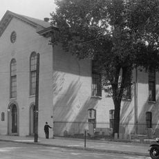
Carneys Point Township, township of New Jersey, USA

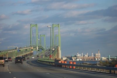
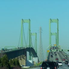
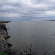
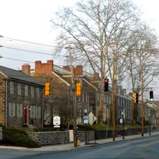
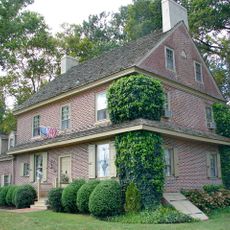
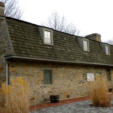
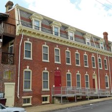
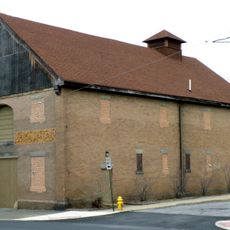
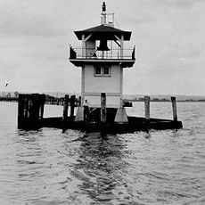
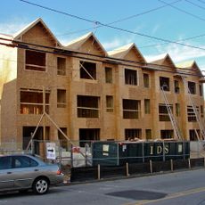
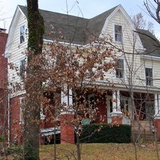
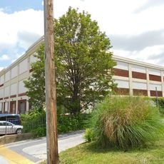
Carneys Point Township is an administrative township in Salem County, New Jersey, located along the Delaware River. The area contains residential neighborhoods, industrial sections, and open spaces that shape its character.

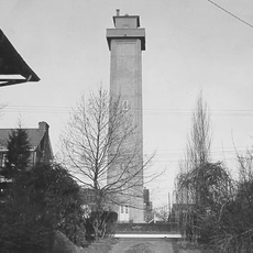
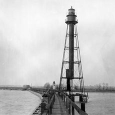
The township was established in the 19th century and grew because of its location along the Delaware River. Industrial development shaped the region and continues to influence its economy today.

The township is easily reached from larger nearby cities and has several main routes for access. Visitors should note that the area contains both residential and industrial sections, so plan your visit around specific destinations within the township.

The community of curious travelers

AroundUs brings together thousands of curated places, local tips, and hidden gems, enriched daily by 60,000 contributors worldwide.

Start exploring
Location
Inception
July 10, 1721
Shares border with
Oldmans Township, Pilesgrove Township, Mannington Township, Pennsville Township, Penns Grove
GPS coordinates
39.69480,-75.44520
Latest update
December 14, 2025 17:01
Around this place
Delaware Memorial Bridge
United States of America

Delaware Memorial Bridge

6.3 km
Fort Christina
United States of America

Fort Christina

9.3 km
76ers Fieldhouse
United States of America

76ers Fieldhouse

10 km
Bellevue State Park
United States of America

Bellevue State Park

10.3 km
Wilmington Park
United States of America

Wilmington Park

9.3 km
Cowtown Rodeo
United States of America

Cowtown Rodeo

7.1 km
Fox Point State Park
United States of America

Fox Point State Park

7.8 km
Brandywine Village Historic District
United States of America

Brandywine Village Historic District

10.4 km
St. Mary of the Immaculate Conception Church
United States of America

St. Mary of the Immaculate Conception Church

9.8 km
Seven Stars Tavern
United States of America

Seven Stars Tavern

9.1 km
Marcus Hook Range Rear Light
United States of America

Marcus Hook Range Rear Light

9 km
St. Joseph's Catholic Church
United States of America

St. Joseph's Catholic Church

10.3 km
Hendrickson House
United States of America

Hendrickson House

9.6 km
Old Asbury Methodist Church
United States of America

Old Asbury Methodist Church

10.1 km
Christiana Light
United States of America

Christiana Light

7.1 km
Bellevue Range Rear Light
United States of America

Bellevue Range Rear Light

6.8 km
Dr. John A. Brown House
United States of America

Dr. John A. Brown House

8.2 km
Cherry Island Range Rear Light
United States of America

Cherry Island Range Rear Light

8.4 km
Church Street Historic District (Wilmington, Delaware)
United States of America

Church Street Historic District (Wilmington, Delaware)

9.5 km
Riverview Cemetery
United States of America

Riverview Cemetery

10.2 km
Mount Pleasant Methodist Episcopal Church and Parsonage
United States of America

Mount Pleasant Methodist Episcopal Church and Parsonage

10.2 km
East Brandywine Historic District
United States of America

East Brandywine Historic District

10.2 km
Christiana North Jetty Light
United States of America

Christiana North Jetty Light

6.2 km
Kingswood Methodist Episcopal Church
United States of America

Kingswood Methodist Episcopal Church

9.2 km
Rosemont
United States of America

Rosemont

9.4 km
New Castle Leather Raw Stock Warehouse
United States of America

New Castle Leather Raw Stock Warehouse

10.1 km
Howard High School of Technology
United States of America

Howard High School of Technology

10.1 km
Heald Street Bridge
United States of America

Heald Street Bridge

9.3 km
Show the full map
« Carneys Point Township - township of New Jersey, USA » is provided by Around Us (aroundus.com). Images and texts are derived from Wikimedia project under a Creative Commons license. You are allowed to copy, distribute, and modify copies of this page, under the conditions set by the license, as long as this note is clearly visible.

Discover hidden gems everywhere you go!

From secret cafés to breathtaking viewpoints, skip the crowded tourist spots and find places that match your style. Our app makes it easy with voice search, smart filtering, route optimization, and insider tips from travelers worldwide. Download now for the complete mobile experience.

Around Us App Screenshot

A unique approach to discovering new places

Le Figaro

All the places worth exploring

France Info

A tailor-made excursion in just a few clicks

20 Minutes

Around Us
Travel Guide & Maps
Download

Send to your phone

QR Code
1

Open the camera app on your mobile.

2

Point at the QR code with your camera. A notification will appear.

3

Tap the notification to open the link.