Enable Location

We need your location to show you interesting places around you

Discover nearby places

Find interesting locations and hidden gems around you

Precise directions

Get accurate directions and distances to places

Your location is never shared with other users. It's only used when you tap the location button.

Wallington

Log in to your account

Start exploring — it's free

Trusted by 62,399 travelers worldwide

Continue with Google
Continue with Apple
or

We will send you a code to connect

By continuing, you accept our Terms and Conditions and our Privacy Policy

Check your inbox

We've sent a pincode in your inbox. Please enter the code below.

Wallington, Administrative borough in Bergen County, New Jersey, US

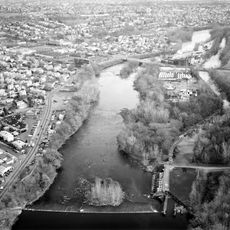
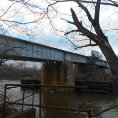
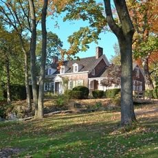
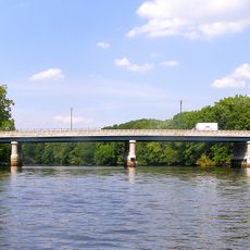
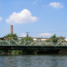
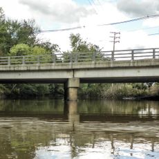
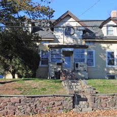
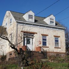
Wallington is an administrative borough in Bergen County featuring a mix of single-family homes, small commercial districts, and tree-lined streets throughout the community. The Passaic River forms part of the area's natural border and influences the local layout.

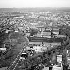
The borough was established in 1894 as an independent municipality, transforming the area from farmland into an organized urban community. This founding coincided with widespread suburban development across Bergen County during the late 1800s.

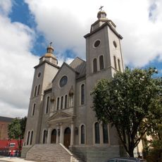
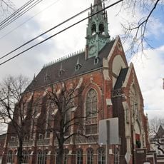
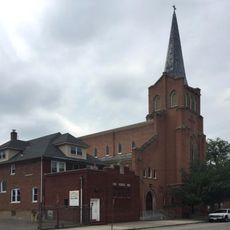
You'll notice Polish-American influences throughout the area, with local restaurants and shops reflecting Eastern European traditions that remain part of daily life here.

Samuel Nelkin County Park offers outdoor spaces with walking trails, sports fields, and a pond where you can spend time outside. The park is easily accessible and serves as a gathering spot for recreation and fresh air.

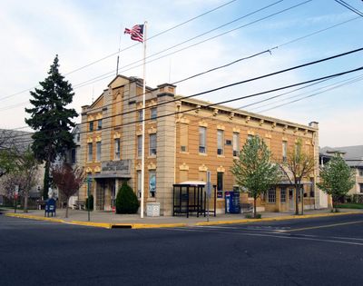
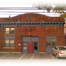
The first Borough Hall was located on 8th Street and served as the early administrative center when the community was just beginning to organize itself. This original location remains a point of local reference for understanding how the area developed.

The community of curious travelers

AroundUs brings together thousands of curated places, local tips, and hidden gems, enriched daily by 60,000 contributors worldwide.

Start exploring
Location
Inception
December 31, 1894
Shares border with
South Hackensack, Garfield, Passaic, East Rutherford, Carlstadt, Wood-Ridge
GPS coordinates
40.85310,-74.10630
Latest update
December 7, 2025 10:06
Around this place
Bowlero
United States of America

Bowlero

783 m
Dundee Canal
United States of America

Dundee Canal

2.6 km
William Carlos Williams House
United States of America

William Carlos Williams House

2.9 km
Iviswold
United States of America

Iviswold

2.5 km
Cathedral of St. Michael the Archangel
United States of America

Cathedral of St. Michael the Archangel

1.6 km
Williams Center
United States of America

Williams Center

2.9 km
Lyndhurst Draw
United States of America

Lyndhurst Draw

4 km
Kingsland Manor
United States of America

Kingsland Manor

4.3 km
Union Avenue Bridge
United States of America

Union Avenue Bridge

1.9 km
Gregory Avenue Bridge
United States of America

Gregory Avenue Bridge

1.1 km
Mesivta Zichron Baruch
United States of America

Mesivta Zichron Baruch

3.2 km
Aycrigg Mansion
United States of America

Aycrigg Mansion

1.6 km
People's Bank and Trust Company Building
United States of America

People's Bank and Trust Company Building

1.9 km
Eighth Street Bridge
United States of America

Eighth Street Bridge

4 km
Passaic Street Bridge
United States of America

Passaic Street Bridge

1.3 km
St. John's Evangelical Lutheran Church
United States of America

St. John's Evangelical Lutheran Church

2.4 km
Botany Worsted Mills Historic District
United States of America

Botany Worsted Mills Historic District

2.5 km
Kip Homestead
United States of America

Kip Homestead

3.2 km
Saint Stephen of Hungary Church, Passaic, New Jersey
United States of America

Saint Stephen of Hungary Church, Passaic, New Jersey

2 km
Passaic Elks Club
United States of America

Passaic Elks Club

2 km
Yereance-Berry House
United States of America

Yereance-Berry House

4.2 km
Garritse-Doremus-Westervelt House
United States of America

Garritse-Doremus-Westervelt House

3.9 km
Brinkerhoff House
United States of America

Brinkerhoff House

2.1 km
Monroe Street Bridge
United States of America

Monroe Street Bridge

1.8 km
Market Street Bridge
United States of America

Market Street Bridge

1.1 km
Yereance-Kettel house
United States of America

Yereance-Kettel house

2.2 km
Richard Outwater House
United States of America

Richard Outwater House

2.8 km
Fridolin Arnault House
United States of America

Fridolin Arnault House

1.8 km
Show the full map
« Wallington - Administrative borough in Bergen County, New Jersey, US » is provided by Around Us (aroundus.com). Images and texts are derived from Wikimedia project under a Creative Commons license. You are allowed to copy, distribute, and modify copies of this page, under the conditions set by the license, as long as this note is clearly visible.

Discover hidden gems everywhere you go!

From secret cafés to breathtaking viewpoints, skip the crowded tourist spots and find places that match your style. Our app makes it easy with voice search, smart filtering, route optimization, and insider tips from travelers worldwide. Download now for the complete mobile experience.

Around Us App Screenshot

A unique approach to discovering new places

Le Figaro

All the places worth exploring

France Info

A tailor-made excursion in just a few clicks

20 Minutes

Around Us
Travel Guide & Maps
Download

Send to your phone

QR Code
1

Open the camera app on your mobile.

2

Point at the QR code with your camera. A notification will appear.

3

Tap the notification to open the link.