Stuart, town in Virginia, United States
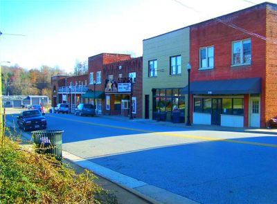
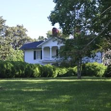
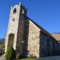
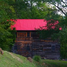
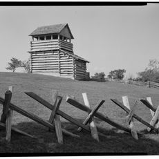
Stuart is a small town in the foothills of the Blue Ridge Highlands in Virginia. Historic buildings, local shops, and the Star Theatre line the streets, while a restored railroad caboose recalls the rail line that once ended here.
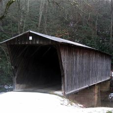
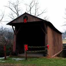
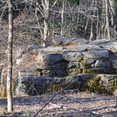
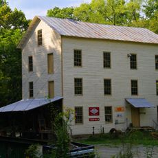
Originally named Taylorsville, the town received its current name after the Civil War to honor General J.E.B. Stuart. The railroad played a key role in its development when the Danville and Western Railroad ended here with a hand-operated turntable for switching trains.
Stuart carries the name of a Civil War general, and this historical connection shapes how the community sees itself today. Music, especially bluegrass, runs deep through local life and is celebrated regularly at free concerts and jamming sessions throughout the town.
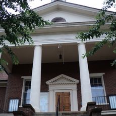
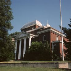
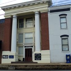
The town is easy to explore on foot, with downtown shops and the historic 1822 courthouse within walking distance of each other. Visitors can enjoy free bluegrass concerts, farmers markets, and community events held at various spots like Rotary Field and local gathering places.
The former railroad depot area along Commerce Street is now a lively hub of shops and activities, showing how the town integrated its industrial past into modern life. The rail turntable and restored caboose stand as physical reminders of this transformation.
The community of curious travelers
AroundUs brings together thousands of curated places, local tips, and hidden gems, enriched daily by 60,000 contributors worldwide.