Perryopolis

Log in to your account

AroundUs is a community-driven map of interesting places, built by curious explorers like you. It grows with every review, story, and photo you share.
Connect to save your favorite spots, contribute locations, and create personalized routes.
By continuing, you accept our Terms and Conditions and our Privacy Policy
Add to collection
Map
Suggest a change
Share

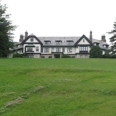
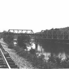
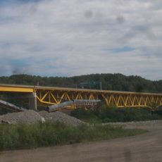
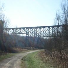
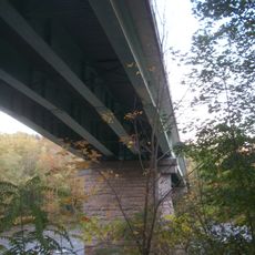
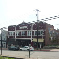
Perryopolis, borough of Pennsylvania

GPS coordinates: 40.08711,-79.75071

Latest update: March 22, 2025 04:22

Photos
Around this place
Youghiogheny River Trail
United States of America

Youghiogheny River Trail

8.3 km
Linden Hall at Saint James Park
United States of America

Linden Hall at Saint James Park

5.2 km
Providence Quaker Cemetery and Chapel
United States of America

Providence Quaker Cemetery and Chapel

3.1 km
Layton Bridge
United States of America

Layton Bridge

1.8 km
Francis Farm Petroglyphs
United States of America

Francis Farm Petroglyphs

5.4 km
Donora-Monessen Bridge
United States of America

Donora-Monessen Bridge

12.6 km
Belle Vernon Bridge
United States of America

Belle Vernon Bridge

11.7 km
St. Nicholas Byzantine Catholic Church
United States of America

St. Nicholas Byzantine Catholic Church

590 m
Speers Railroad Bridge
United States of America

Speers Railroad Bridge

11.8 km
Alliance Furnace
United States of America

Alliance Furnace

4 km
Cochran Memorial United Methodist Church
United States of America

Cochran Memorial United Methodist Church

9.3 km
Old Main
United States of America

Old Main

11.7 km
Star Junction Historic District
United States of America

Star Junction Historic District

3 km
Molly Fleming House
United States of America

Molly Fleming House

11.3 km
California Area Public Library
United States of America

California Area Public Library

12 km
Dawson Historic District
United States of America

Dawson Historic District

9 km
Col. Edward Cook House
United States of America

Col. Edward Cook House

7.9 km
Jennings-Gallagher House
United States of America

Jennings-Gallagher House

12.2 km
West Brownsville Junction Bridge
United States of America

West Brownsville Junction Bridge

12.2 km
Searight's Fulling Mill
United States of America

Searight's Fulling Mill

624 m
Hugh Laughlin House
United States of America

Hugh Laughlin House

12.6 km
Matthew Smelser Memorial Bridge
United States of America

Matthew Smelser Memorial Bridge

8.4 km
Youghiogheny Bank of Pennsylvania
United States of America

Youghiogheny Bank of Pennsylvania

51 m
Whitsett Historic District
United States of America

Whitsett Historic District

2.8 km
Banning Railroad Bridge
United States of America

Banning Railroad Bridge

4.1 km
Smithton Low-Level Bridge
United States of America

Smithton Low-Level Bridge

7.8 km
Karolcik Building
United States of America

Karolcik Building

74 m
Arboreto de la universidad de California en Pensilvania
United States of America

Arboreto de la universidad de California en Pensilvania

11.6 km
Show the full map
Reviews

Visited this place? Tap the stars to rate it and share your experience / photos with the community! Try now! You can cancel it anytime.

« Perryopolis - borough of Pennsylvania » is provided by Around Us (aroundus.com). Images and texts are derived from Wikimedia project under a Creative Commons license. You are allowed to copy, distribute, and modify copies of this page, under the conditions set by the license, as long as this note is clearly visible.

Discover hidden gems everywhere you go!

From secret cafés to breathtaking viewpoints, skip the crowded tourist spots and find places that match your style. Our app makes it easy with voice search, smart filtering, route optimization, and insider tips from travelers worldwide. Download now for the complete mobile experience.

Around Us App Screenshot

A unique approach to discovering new places

Le Figaro

All the places worth exploring

France Info

A tailor-made excursion in just a few clicks

20 Minutes