Enable Location

We need your location to show you interesting places around you

Discover nearby places

Find interesting locations and hidden gems around you

Precise directions

Get accurate directions and distances to places

Your location is never shared with other users. It's only used when you tap the location button.

South Williamsport

Log in to your account

Start exploring — it's free

Trusted by 68,213 travelers worldwide

Continue with Google
Continue with Apple
or

We will send you a code to connect

By continuing, you accept our Terms and Conditions and our Privacy Policy

Check your inbox

We've sent a pincode in your inbox. Please enter the code below.

South Williamsport
Discussion Reviews 1 Photos
14.7k Popularity

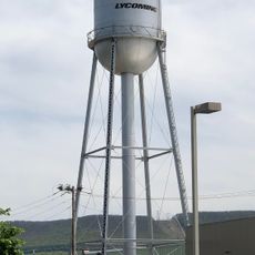
South Williamsport, Administrative borough in Lycoming County, Pennsylvania, US.

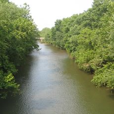
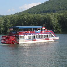
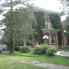
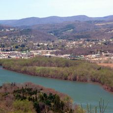
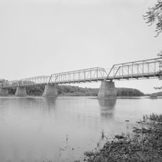
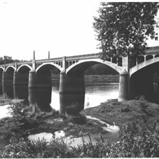
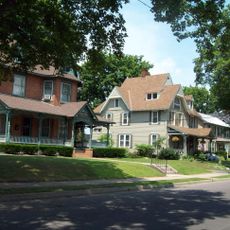
South Williamsport is an administrative borough in Lycoming County, Pennsylvania, situated northeast of Williamsport on the south bank of the Susquehanna River. The community spans a compact area with multiple wards and local infrastructure serving its residents.

The area emerged from two separate settlements called Rocktown and Bootstown, which merged into an incorporated borough in November 1886. This union created a new community in a strategic location along the river.

A nine-member borough council and mayor govern the community through three distinct wards, maintaining strong connections with local residents and neighborhood initiatives.

The borough is easily accessible from nearby Williamsport and offers good road connections throughout the area. Walking through the different wards gives visitors a sense of the community's character and proximity to the river.

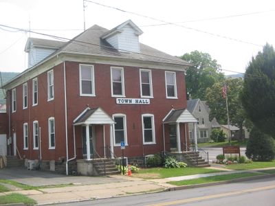
The borough's government center is relocating to a renovated former swimming facility on E. Central Avenue. This transformation takes advantage of grants and community funding to create a new civic hub.

The community of curious travelers

AroundUs brings together thousands of curated places, local tips, and hidden gems, enriched daily by 60,000 contributors worldwide.

Start exploring
GPS coordinates
41.23202,-76.99913
Latest update
December 7, 2025 20:20
Around this place
Tiadaghton State Forest
United States of America

Tiadaghton State Forest

8.6 km
Muncy Creek
United States of America

Muncy Creek

16.6 km
Millionaire's Row Historic District
United States of America

Millionaire's Row Historic District

1.6 km
Susquehanna State Park
United States of America

Susquehanna State Park

7.1 km
Peter Herdic House
United States of America

Peter Herdic House

1.2 km
Canfield Island Site
United States of America

Canfield Island Site

4 km
St. James Episcopal Church
United States of America

St. James Episcopal Church

18.2 km
Allenwood River Bridge
United States of America

Allenwood River Bridge

16.6 km
Christ Episcopal Church
United States of America

Christ Episcopal Church

1.2 km
Watsontown River Bridge
United States of America

Watsontown River Bridge

20.2 km
Factory Bridge
United States of America

Factory Bridge

19.4 km
William Kirk House
United States of America

William Kirk House

21.6 km
City Hall
United States of America

City Hall

1.1 km
Williamsport City Hall
United States of America

Williamsport City Hall

1.2 km
Muncy Historic District
United States of America

Muncy Historic District

18.2 km
Warrior Run Presbyterian Church
United States of America

Warrior Run Presbyterian Church

21.9 km
Reading-Halls Station Bridge
United States of America

Reading-Halls Station Bridge

13.9 km
Madigan Library
United States of America

Madigan Library

1.9 km
Sand Spring Run
United States of America

Sand Spring Run

20.3 km
Hopper-Snyder Homestead
United States of America

Hopper-Snyder Homestead

19.5 km
Benjamin Griffey House
United States of America

Benjamin Griffey House

12.6 km
Trout Pond Park
United States of America

Trout Pond Park

21.4 km
Jersey Shore Historic District
United States of America

Jersey Shore Historic District

21.7 km
Community Arts Center
United States of America

Community Arts Center

1.1 km
James V.Brown Library Bookmobile
United States of America

James V.Brown Library Bookmobile

1.2 km
Water tower, Williamsport, PA
United States of America

Water tower, Williamsport, PA

3 km
Holy Cross Orthodox Church, Williamsport, PA
United States of America

Holy Cross Orthodox Church, Williamsport, PA

3.5 km
Rose Valley Lake (Pennsylvania)
United States of America

Rose Valley Lake (Pennsylvania)

17.4 km
Show the full map
Reviews
Share your experience

No review yet

Discussions
Start a discussion...

No discussion yet

« South Williamsport - Administrative borough in Lycoming County, Pennsylvania, US » is provided by Around Us (aroundus.com). Images and texts are derived from Wikimedia project under a Creative Commons license. You are allowed to copy, distribute, and modify copies of this page, under the conditions set by the license, as long as this note is clearly visible.

Discover hidden gems everywhere you go!

From secret cafés to breathtaking viewpoints, skip the crowded tourist spots and find places that match your style. Our app makes it easy with voice search, smart filtering, route optimization, and insider tips from travelers worldwide. Download now for the complete mobile experience.

Around Us App Screenshot

A unique approach to discovering new places

Le Figaro

All the places worth exploring

France Info

A tailor-made excursion in just a few clicks

20 Minutes

Around Us
Travel Guide & Maps
Download

Send to your phone

QR Code
1

Open the camera app on your mobile.

2

Point at the QR code with your camera. A notification will appear.

3

Tap the notification to open the link.