
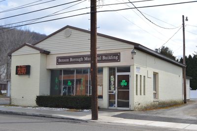
Benson, borough of Pennsylvania
Location: Somerset County
Inception: 1880
GPS coordinates: 40.20060,-78.92780
Latest update: April 9, 2025 14:37
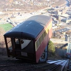
Johnstown Inclined Plane
13.9 km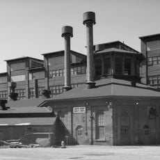
Cambria Iron Company
15.1 km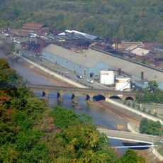
Stone Bridge
14.7 km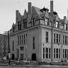
Johnstown Flood Museum
14.2 km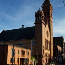
Cathedral of Saint John Gualbert
13.9 km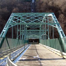
Inclined Plane Bridge
13.9 km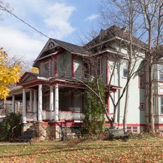
Moxham Historic District
10.9 km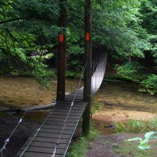
John P. Saylor Trail
15 km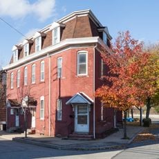
Cambria City Historic District
15.6 km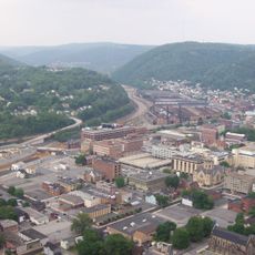
Downtown Johnstown Historic District
13.9 km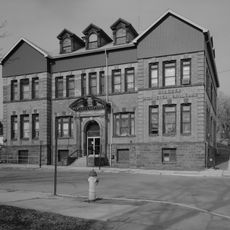
Windber Historic District
9.1 km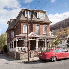
Old Conemaugh Borough Historic District
14.1 km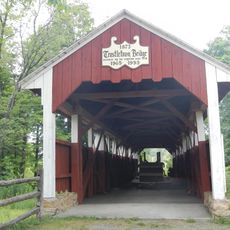
Trostletown Bridge
11.8 km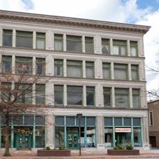
Nathan's Department Store
13.9 km
Minersville Historic District
15.8 km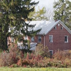
Matthew Hair Farm
6.5 km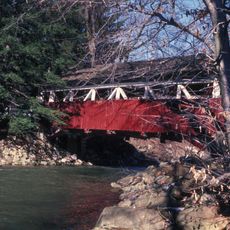
Shaffer's Bridge
9.5 km
Grand Army of the Republic Hall
14 km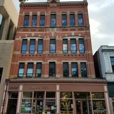
Alma Hall
13.9 km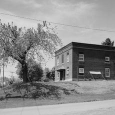
Cairnbrook Historic District
12.9 km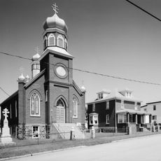
Boswell Historic District
9.5 km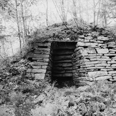
Shade Furnace Archaeological District
10 km
Stoystown Historic District
11.2 km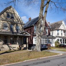
Westmont Historic District
13.6 km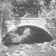
Bridge in Jenner Township
8 km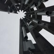
Tower of Voices
14.2 km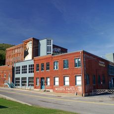
Heritage Discovery Center
15.5 km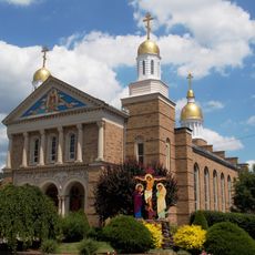
Christ the Saviour Orthodox Cathedral (Johnstown, Pennsylvania)
16.7 kmVisited this place? Tap the stars to rate it and share your experience / photos with the community! Try now! You can cancel it anytime.
Discover hidden gems everywhere you go!
From secret cafés to breathtaking viewpoints, skip the crowded tourist spots and find places that match your style. Our app makes it easy with voice search, smart filtering, route optimization, and insider tips from travelers worldwide. Download now for the complete mobile experience.

A unique approach to discovering new places❞
— Le Figaro
All the places worth exploring❞
— France Info
A tailor-made excursion in just a few clicks❞
— 20 Minutes