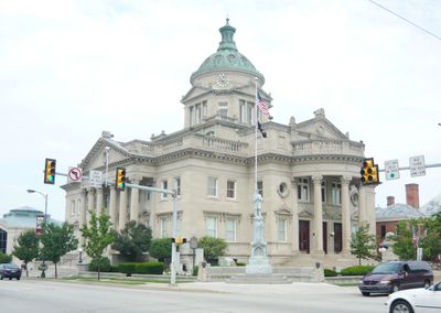
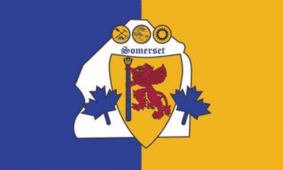
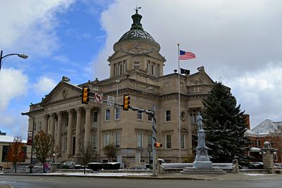
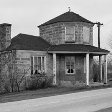
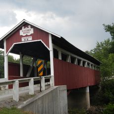
Somerset County, Administrative division in Pennsylvania, United States
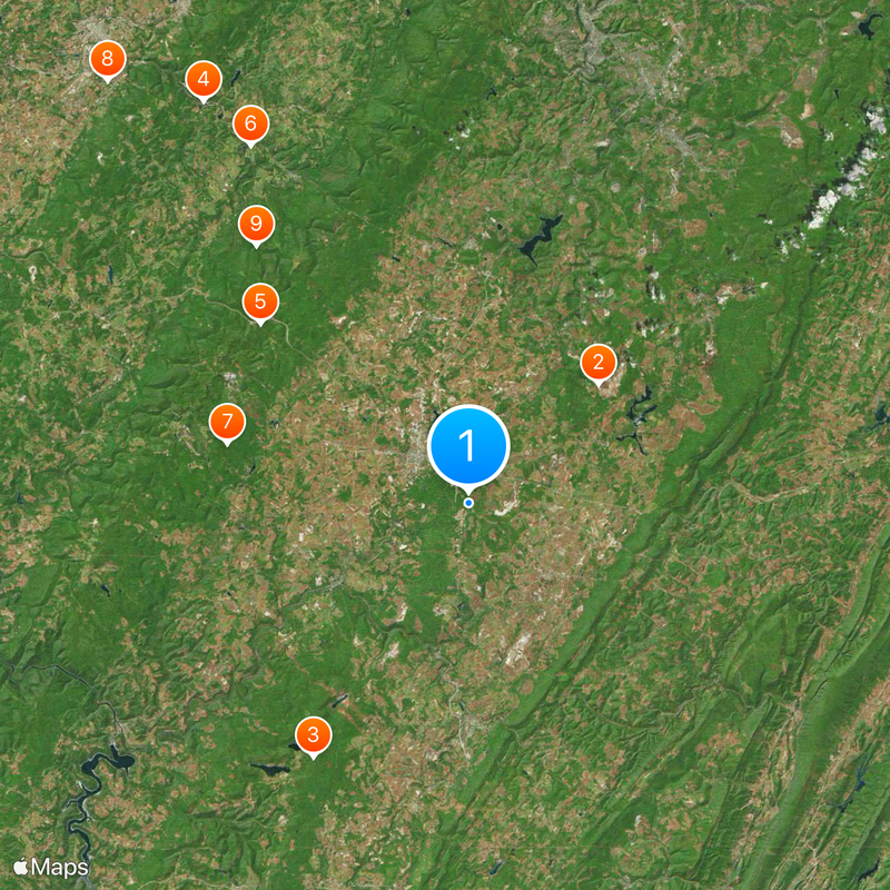
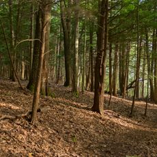
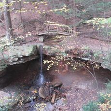
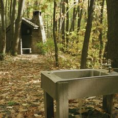
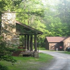
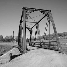
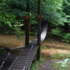
Somerset County is an administrative division in southwestern Pennsylvania with numerous state parks and natural areas spread throughout its territory. The terrain features forested valleys, rolling hills, and several rivers that flow through the landscape.
The region became widely known through the events of September 11, 2001, when United Airlines Flight 93 crashed in Stonycreek Township. This event made the area significant in American history.
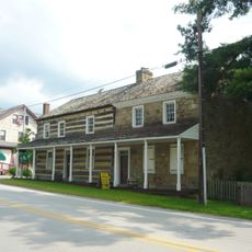
The Amish community here shapes daily life in various parts of the region, especially around Meyersdale and Springs, where their horse-drawn buggies and traditional ways are part of the local landscape. Visitors can observe these practices firsthand as they travel through the area.
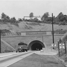
The region is well-connected by Interstate 70, Interstate 76, US Route 30, and US Route 40, making it easy to reach from neighboring areas. Visitors should use GPS navigation since back roads wind through rural countryside.
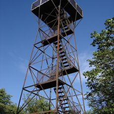
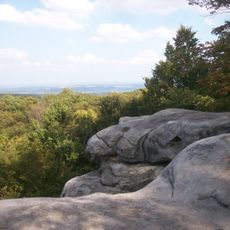
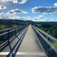
Mount Davis, the highest point in Pennsylvania, lies within the county and offers forested trails and viewpoints for hikers. This less-known destination attracts outdoor enthusiasts seeking elevated hikes.
Location: Pennsylvania
Inception: April 17, 1795
Capital city: Somerset
Shares border with: Cambria County, Allegany County, Bedford County, Fayette County, Garrett County, Westmoreland County
Website: http://co.somerset.pa.us
GPS coordinates: 39.97000,-79.03000
Latest update: December 14, 2025 18:11
Flight 93 National Memorial
14.2 km
Mount Davis
24 kmIdlewild and Soak Zone
38.8 km
Laurel Hill Tunnel
22.2 kmLaurel Valley Golf Club
33.7 km
Laurel Hill State Park
20.1 kmLatrobe Country Club
44.8 km
Linn Run State Park
26.9 kmTrump House
45.2 km
Laurel Ridge State Park
29 km
Forbes State Forest
30.5 km
Pennsylvania Railroad 3750
11.3 km
Rollo Coaster
38.8 kmQuemahoning Reservoir
22.6 km
Kooser State Park
19.8 km
Laurel Summit State Park
20.6 km
Wild Mouse
38.6 km
Salisbury Viaduct
15.2 km
Gallitzin State Forest
38.1 km
Somerset County Courthouse
6 kmGreat Crossings Bridge
39.4 km
Wills Creek Bollman Bridge
17.2 kmMountain Playhouse
21.9 km
John P. Saylor Trail
36.2 km
Compass Inn
30.5 km
Daniel B. Zimmerman Mansion
6.9 km
Petersburg Tollhouse
36 km
Glessner Bridge
11.2 kmVisited this place? Tap the stars to rate it and share your experience / photos with the community! Try now! You can cancel it anytime.
Discover hidden gems everywhere you go!
From secret cafés to breathtaking viewpoints, skip the crowded tourist spots and find places that match your style. Our app makes it easy with voice search, smart filtering, route optimization, and insider tips from travelers worldwide. Download now for the complete mobile experience.
A unique approach to discovering new places❞
— Le Figaro
All the places worth exploring❞
— France Info
A tailor-made excursion in just a few clicks❞
— 20 Minutes