Enable Location

We need your location to show you interesting places around you

Discover nearby places

Find interesting locations and hidden gems around you

Precise directions

Get accurate directions and distances to places

Your location is never shared with other users. It's only used when you tap the location button.

Log in to your account

Start exploring — it's free

Trusted by 63,420 travelers worldwide

Continue with Google
Continue with Apple
or

We will send you a code to connect

By continuing, you accept our Terms and Conditions and our Privacy Policy

Check your inbox

We've sent a pincode in your inbox. Please enter the code below.

Gallitzin State Forest
Discussion Reviews Photo
2.4k Popularity

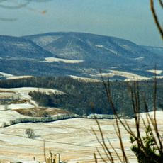
Gallitzin State Forest, State forest in Pennsylvania, United States

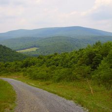
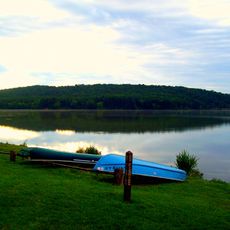
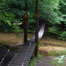
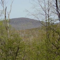
Gallitzin State Forest is a large wooded protected area in Pennsylvania's uplands, crossed by over 50 miles of hiking trails. It contains two main sections, Rager Mountain and Babcock Division, both featuring old railroad grades and signs of past industrial use.

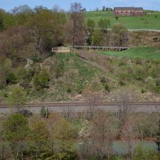
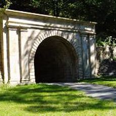
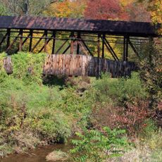
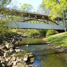
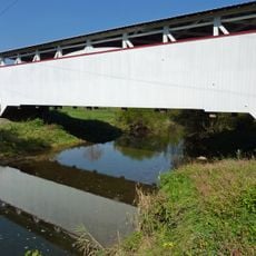
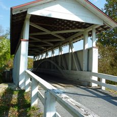
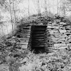
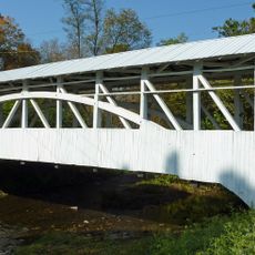
The forest was heavily exploited during the logging and steel-making era, leaving visible marks on the landscape. Railroad grades once carried timber and minerals through the woods and remain prominent features that shape how the forest looks today.

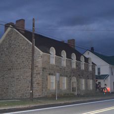
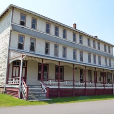
The forest is named after Prince Demetrius Augustine Gallitzin, a German priest who lived in Pennsylvania in the 1800s and left his mark on the region. Today, visitors use these woods for hiking and quiet time, while the old railroad grades and industrial traces remain visible reminders of how people once used this land.

Bring sturdy shoes, water, and a map because trail markings are sparse and navigation can be tricky. The paths are open to hikers and some allow bikes, with flat sections like the John P. Saylor Trail best for beginners.

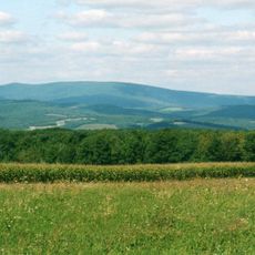
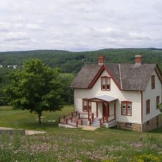
A striking feature is Clark Run Gorge, a steep canyon with waterfalls and white wildflowers in spring, creating a surprisingly dramatic natural setting within the forest. Visitors can also walk on well-preserved old railroad grades that feel like stepping into the region's working past.

The community of curious travelers

AroundUs brings together thousands of curated places, local tips, and hidden gems, enriched daily by 60,000 contributors worldwide.

Start exploring
Location
GPS coordinates
40.20830,-78.70810
Latest update
February 9, 2026 08:22
Around this place
Johnstown Flood National Memorial
United States of America

Johnstown Flood National Memorial

16.4 km
Blue Knob
United States of America

Blue Knob

15.3 km
Blue Knob State Park
United States of America

Blue Knob State Park

13.3 km
Staple Bend Tunnel
United States of America

Staple Bend Tunnel

20.9 km
Shawnee State Park
United States of America

Shawnee State Park

21.2 km
Moxham Historic District
United States of America

Moxham Historic District

19.7 km
John P. Saylor Trail
United States of America

John P. Saylor Trail

3.9 km
Pine Knob
United States of America

Pine Knob

21.4 km
Schaefer Head
United States of America

Schaefer Head

17.9 km
Windber Historic District
United States of America

Windber Historic District

11 km
Old Conemaugh Borough Historic District
United States of America

Old Conemaugh Borough Historic District

21.7 km
Chestnut Ridge and Schellsburg Union Church and Cemetery
United States of America

Chestnut Ridge and Schellsburg Union Church and Cemetery

18.3 km
New Paris Covered Bridge
United States of America

New Paris Covered Bridge

10.7 km
Dr. Knisley Covered Bridge
United States of America

Dr. Knisley Covered Bridge

10.5 km
Ryot Covered Bridge
United States of America

Ryot Covered Bridge

10.2 km
Cairnbrook Historic District
United States of America

Cairnbrook Historic District

13.3 km
Snooks Covered Bridge
United States of America

Snooks Covered Bridge

11.7 km
Shade Furnace Archaeological District
United States of America

Shade Furnace Archaeological District

11.9 km
Osterburg Covered Bridge
United States of America

Osterburg Covered Bridge

14.6 km
Johnstown Flood National Memorial
United States of America

Johnstown Flood National Memorial

16.6 km
Schellsburg Historic District
United States of America

Schellsburg Historic District

18.7 km
Portage Historic District
United States of America

Portage Historic District

19.9 km
Tower of Voices
United States of America

Tower of Voices

21 km
Unger House
United States of America

Unger House

16.6 km
South Fork Fishing and Hunting Club Clubhouse
United States of America

South Fork Fishing and Hunting Club Clubhouse

15.3 km
Pasquerilla Performing Arts Center
United States of America

Pasquerilla Performing Arts Center

12.6 km
Lake View Visitor Center
United States of America

Lake View Visitor Center

16.6 km
Flight 93 National Memorial entrance sign
United States of America

Flight 93 National Memorial entrance sign

21 km
Show the full map
Reviews
Share your experience

No review yet

Discussions
Start a discussion...

No discussion yet

« Gallitzin State Forest - State forest in Pennsylvania, United States » is provided by Around Us (aroundus.com). Images and texts are derived from Wikimedia project under a Creative Commons license. You are allowed to copy, distribute, and modify copies of this page, under the conditions set by the license, as long as this note is clearly visible.

Discover hidden gems everywhere you go!

From secret cafés to breathtaking viewpoints, skip the crowded tourist spots and find places that match your style. Our app makes it easy with voice search, smart filtering, route optimization, and insider tips from travelers worldwide. Download now for the complete mobile experience.

Around Us App Screenshot

A unique approach to discovering new places

Le Figaro

All the places worth exploring

France Info

A tailor-made excursion in just a few clicks

20 Minutes

Around Us
Travel Guide & Maps
Download

Send to your phone

QR Code
1

Open the camera app on your mobile.

2

Point at the QR code with your camera. A notification will appear.

3

Tap the notification to open the link.