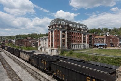
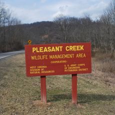
Grafton, County seat in Taylor County, West Virginia
Grafton is the county seat of Taylor County situated among the rolling hills of northern West Virginia at an elevation of about 310 meters. The town spreads across residential areas with municipal buildings and local institutions serving as the administrative center for the region.
The town was founded and incorporated in 1856, the same year it became the administrative center for Taylor County. This dual establishment at its origin shaped its role as the region's governing hub.
The town hosts community gatherings and local events that bring neighbors together and reinforce shared identity. Residents participate in seasonal celebrations and activities that reflect their connection to the place.
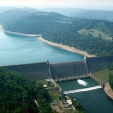
The town is accessible by main roads running through the hilly terrain. Most important locations and services are within walking distance or a short drive from the center.
The name Grafton is shared by multiple towns across the United States, yet this location stands out as an established county seat with deep administrative roots. This naming pattern reflects how early settlers sometimes chose familiar place names when founding new communities.
The community of curious travelers
AroundUs brings together thousands of curated places, local tips, and hidden gems, enriched daily by 60,000 contributors worldwide.