Ellington, town in Connecticut, United States
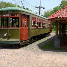
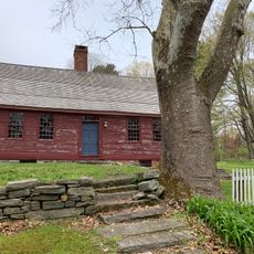
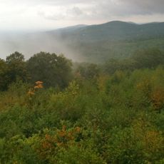
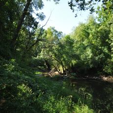
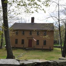
Ellington is a small town in the Connecticut River Valley featuring farm fields, open land, and houses spaced along quiet roads. The area blends rural character with suburban growth, showing both old farmhouses and newer residential development scattered across the landscape.
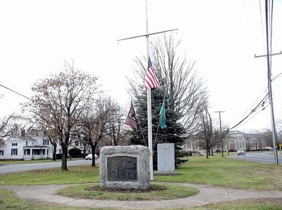
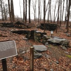
The town was established as a separate community in 1786, having previously been part of East Windsor. Agriculture dominated the early centuries, with farming shaping settlement patterns and the local economy until recent decades of suburban growth.
The town reflects its farming heritage in the way residents use the land and gather for community events like farmers markets and seasonal festivals. These occasions bring neighbors together and reinforce the bonds that make daily life here centered on shared traditions and outdoor connection.
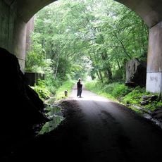
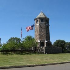
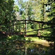
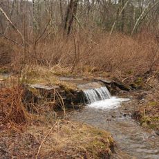
The town is best explored on quiet roads and through its parks, with walking paths available for those who enjoy outdoor strolls. Arriving by car is practical since attractions are spread across the area and public transportation is limited.
Local historian Nellie McKnight, born in the town in 1894, left her home and possessions to a museum after retiring as a librarian to preserve the town's past. Several notable figures have emerged from this small community, including NASCAR driver Steve Park and sports announcer Mike Massaro.
The community of curious travelers
AroundUs brings together thousands of curated places, local tips, and hidden gems, enriched daily by 60,000 contributors worldwide.