Chest opened
+${chestReward.xp} XP
Explorer
NOUVEAU ×${chestReward.collectible.quantity}
tapez pour fermer
Chest locked

Open chests in the app

Around Us is built for your phone — chests unlock when you walk, explore and capture nearby places.

Enable Location

We need your location to show you interesting places around you

Discover nearby places

Find interesting locations and hidden gems around you

Precise directions

Get accurate directions and distances to places

Your location is never shared with other users. It's only used when you tap the location button.

Auburn

Log in to your account

Start exploring — it's free

Trusted by 72,876 travelers worldwide

Continue with Google
Continue with Apple
or

We will send you a code to connect

By continuing, you accept our Terms and Conditions and our Privacy Policy

Check your inbox

We've sent a pincode in your inbox. Please enter the code below.

Discussion Reviews 2 Photos
20.3k Popularity

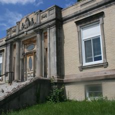
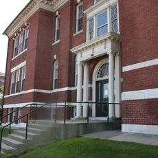
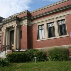
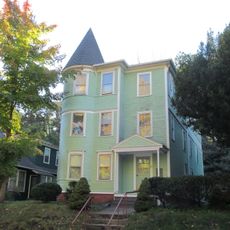
Auburn, town in Worcester County, Massachusetts, United States

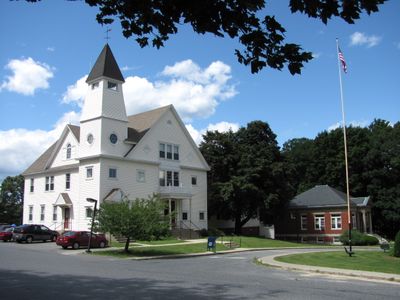
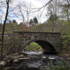
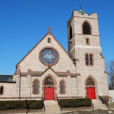
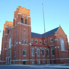
Auburn is a town in Worcester County, Massachusetts, that spreads across gentle hills and open land. The town combines older homes and buildings with shopping centers and business areas along its main roads, creating a mix of residential neighborhoods and commercial zones.

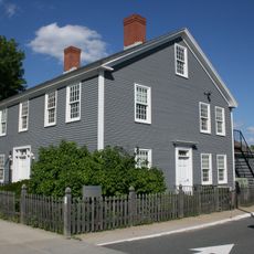
Auburn was officially founded in 1778 as the town of Ward, after its land had been part of larger neighboring towns. The name changed to Auburn in 1837, and the community shifted from agriculture to industrial and commercial development by the mid-1900s.

Auburn is easy to reach by highway via I-90, I-290, and I-395, making it convenient for travel and commuting. The town has shopping centers and business areas spread along its main roads, so visitors can easily find services and navigate the area.

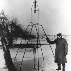
In 1926, rocket pioneer Dr. Robert Goddard conducted the test flight of his first liquid-fueled rocket on Pakachoag Hill in the town. Goddard Memorial Park now features a model of his rocket and displays that tell the story of this important moment in space exploration history.

The community of curious travelers

AroundUs brings together thousands of curated places, local tips, and hidden gems, enriched daily by 60,000 contributors worldwide.

Start exploring
Location
Inception
1714
Elevation above the sea
184 m
Shares border with
Leicester, Worcester, Millbury, Oxford
GPS coordinates
42.20000,-71.83333
Latest update
February 16, 2026 21:40
Around this place
Fitton Field
United States of America

Fitton Field

4.9 km
Goddard Rocket Launching Site
United States of America

Goddard Rocket Launching Site

2.7 km
Hanover Insurance Park at Fitton Field
United States of America

Hanover Insurance Park at Fitton Field

4.9 km
Hope Cemetery
United States of America

Hope Cemetery

4.1 km
University Park
United States of America

University Park

5.4 km
Whittall Mills
United States of America

Whittall Mills

4.8 km
Hudson House
United States of America

Hudson House

6.4 km
Bartlett's Bridge
United States of America

Bartlett's Bridge

6.5 km
St. Matthew's Episcopal Church
United States of America

St. Matthew's Episcopal Church

5.1 km
Stearns Tavern
United States of America

Stearns Tavern

5.1 km
Holy Name of Jesus Complex
United States of America

Holy Name of Jesus Complex

5.2 km
Joseph Stone House
United States of America

Joseph Stone House

1.7 km
Christina Nelson Three-Decker
United States of America

Christina Nelson Three-Decker

4.7 km
Cambridge Street School
United States of America

Cambridge Street School

5.2 km
Harry B. Ingraham Three-Decker
United States of America

Harry B. Ingraham Three-Decker

5.2 km
South Worcester Branch Library
United States of America

South Worcester Branch Library

5 km
Malvern Road School
United States of America

Malvern Road School

4.2 km
Quinsigamond Branch Library
United States of America

Quinsigamond Branch Library

5.3 km
Crystal Street Historic District
United States of America

Crystal Street Historic District

5.2 km
Larchmont
United States of America

Larchmont

4.8 km
Tuttle Square School
United States of America

Tuttle Square School

968 m
Catherine Ahern Three-Decker
United States of America

Catherine Ahern Three-Decker

4.9 km
Beaver Street Historic District
United States of America

Beaver Street Historic District

5.5 km
Freeland Street School
United States of America

Freeland Street School

5.3 km
Thomas Crabtree Three-Decker
United States of America

Thomas Crabtree Three-Decker

5 km
Wesley Davis Three-Decker
United States of America

Wesley Davis Three-Decker

5.5 km
John B. McDermott Three-Decker
United States of America

John B. McDermott Three-Decker

5.2 km
Fenwick and O'Kane Halls
United States of America

Fenwick and O'Kane Halls

4.8 km
Show the full map
Reviews
Share your experience

No review yet

Discussions
Start a discussion...

No discussion yet

« Auburn - town in Worcester County, Massachusetts, United States » is provided by Around Us (aroundus.com). Images and texts are derived from Wikimedia project under a Creative Commons license. You are allowed to copy, distribute, and modify copies of this page, under the conditions set by the license, as long as this note is clearly visible.

Discover hidden gems everywhere you go!

From secret cafés to breathtaking viewpoints, skip the crowded tourist spots and find places that match your style. Our app makes it easy with voice search, smart filtering, route optimization, and insider tips from travelers worldwide. Download now for the complete mobile experience.

Around Us App Screenshot

A unique approach to discovering new places

Le Figaro

All the places worth exploring

France Info

A tailor-made excursion in just a few clicks

20 Minutes

Around Us
Travel Guide & Maps
Download

Send to your phone

QR Code
1

Open the camera app on your mobile.

2

Point at the QR code with your camera. A notification will appear.

3

Tap the notification to open the link.