Enable Location

We need your location to show you interesting places around you

Discover nearby places

Find interesting locations and hidden gems around you

Precise directions

Get accurate directions and distances to places

Your location is never shared with other users. It's only used when you tap the location button.

Falmouth

Log in to your account

Start exploring — it's free

Trusted by 62,835 travelers worldwide

Continue with Google
Continue with Apple
or

We will send you a code to connect

By continuing, you accept our Terms and Conditions and our Privacy Policy

Check your inbox

We've sent a pincode in your inbox. Please enter the code below.

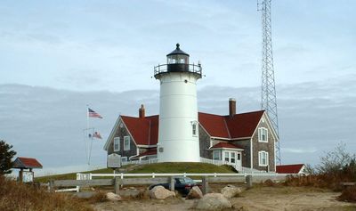
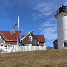
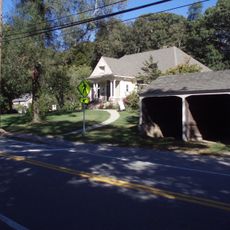
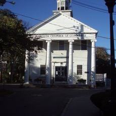
Falmouth, Coastal town in Barnstable County, Massachusetts, US

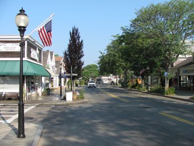
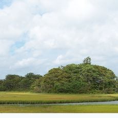
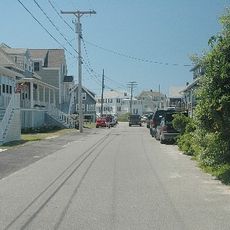
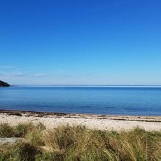
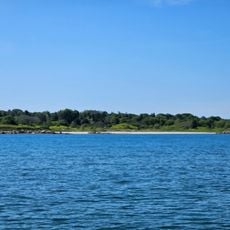
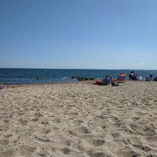
Falmouth is a coastal town on the southern shore of Cape Cod in Massachusetts, stretching across land and water areas with numerous small ponds, creeks, and beaches. The area is traversed by Massachusetts Route 28, which serves as the main transportation route connecting beaches, commercial areas, and residential neighborhoods.

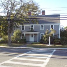
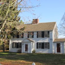
English colonists founded this settlement in 1660 and named it after Falmouth in Cornwall, England. The early economy relied on farming, salt production, and whaling, activities that shaped the community for generations.

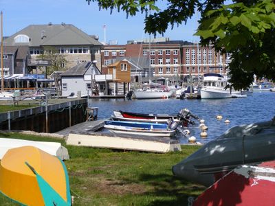
The town's ferry operations from Woods Hole to Martha's Vineyard and Nantucket show how ocean travel shapes daily life here. This maritime connection defines how the community relates to the surrounding islands and the sea.

The best time to visit is during warmer months when beaches and ferry ports are most active. The town is easy to explore by car, particularly via Massachusetts Route 28, which runs through the area.

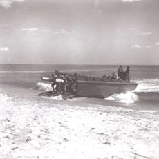
A sailor named Robert Manry set out in 1965 from here in a small 13.5-foot sailboat and reached England. This unusual journey reflects the deep connection to the sea that continues to inspire people drawn to this place.

The community of curious travelers

AroundUs brings together thousands of curated places, local tips, and hidden gems, enriched daily by 60,000 contributors worldwide.

Start exploring
Inception
1660
Elevation above the sea
3 m
Shares border with
Mashpee, Bourne
GPS coordinates
41.55139,-70.61528
Latest update
December 14, 2025 17:46
Around this place
Nobska Light
United States of America

Nobska Light

5.2 km
United States of America

Falmouth Road Race

2.5 km
Woods Hole Science Aquarium
United States of America

Woods Hole Science Aquarium

5.7 km
South Cape Beach State Park
United States of America

South Cape Beach State Park

9.4 km
Mashpee National Wildlife Refuge
United States of America

Mashpee National Wildlife Refuge

11.1 km
New Silver Beach
United States of America

New Silver Beach

10.2 km
United States of America

Frances A. Crane Wildlife Management Area

10.6 km
Cleveland East Ledge Light
United States of America

Cleveland East Ledge Light

11 km
Camp Washburn
United States of America

Camp Washburn

6.7 km
Arnie Allen Diamond
United States of America

Arnie Allen Diamond

1 km
Falmouth Village Green Historic District
United States of America

Falmouth Village Green Historic District

626 m
Waquoit Historic District
United States of America

Waquoit Historic District

8.8 km
Woods Hole School
United States of America

Woods Hole School

5.4 km
North Falmouth Village Historic District
United States of America

North Falmouth Village Historic District

10.6 km
Teaticket School
United States of America

Teaticket School

2.1 km
West Falmouth Village Historic District
United States of America

West Falmouth Village Historic District

5.8 km
Central Fire Station
United States of America

Central Fire Station

626 m
Falmouth Pumping Station
United States of America

Falmouth Pumping Station

2.2 km
Falmouth Inner Light
United States of America

Falmouth Inner Light

1.2 km
Poor House and Methodist Cemetery
United States of America

Poor House and Methodist Cemetery

218 m
Josiah Tobey House
United States of America

Josiah Tobey House

4.4 km
Elnathan Nye House
United States of America

Elnathan Nye House

9.4 km
InnSeason Resorts Surfside
United States of America

InnSeason Resorts Surfside

2.8 km
United States of America

Ashumet Holly Wildlife Sanctuary

10 km
Stoney Beach
United States of America

Stoney Beach

5.5 km
Lawrence Academy
United States of America

Lawrence Academy

132 m
Silver Beach
United States of America

Silver Beach

13.6 km
Menauhant Beach
United States of America

Menauhant Beach

5.1 km
Show the full map
« Falmouth - Coastal town in Barnstable County, Massachusetts, US » is provided by Around Us (aroundus.com). Images and texts are derived from Wikimedia project under a Creative Commons license. You are allowed to copy, distribute, and modify copies of this page, under the conditions set by the license, as long as this note is clearly visible.

Discover hidden gems everywhere you go!

From secret cafés to breathtaking viewpoints, skip the crowded tourist spots and find places that match your style. Our app makes it easy with voice search, smart filtering, route optimization, and insider tips from travelers worldwide. Download now for the complete mobile experience.

Around Us App Screenshot

A unique approach to discovering new places

Le Figaro

All the places worth exploring

France Info

A tailor-made excursion in just a few clicks

20 Minutes

Around Us
Travel Guide & Maps
Download

Send to your phone

QR Code
1

Open the camera app on your mobile.

2

Point at the QR code with your camera. A notification will appear.

3

Tap the notification to open the link.