Chest opened
+${chestReward.xp} XP
Explorer
NOUVEAU ×${chestReward.collectible.quantity}
tapez pour fermer
Chest locked

Open chests in the app

Around Us is built for your phone — chests unlock when you walk, explore and capture nearby places.

Enable Location

We need your location to show you interesting places around you

Discover nearby places

Find interesting locations and hidden gems around you

Precise directions

Get accurate directions and distances to places

Your location is never shared with other users. It's only used when you tap the location button.

Nutbush

Log in to your account

Start exploring — it's free

Trusted by 72,879 travelers worldwide

Continue with Google
Continue with Apple
or

We will send you a code to connect

By continuing, you accept our Terms and Conditions and our Privacy Policy

Check your inbox

We've sent a pincode in your inbox. Please enter the code below.

Discussion Reviews 1 Photos
51.5k Popularity

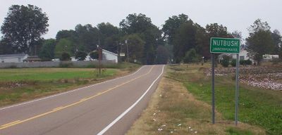
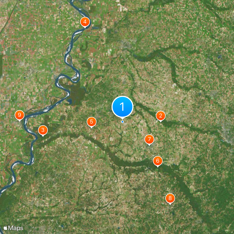
Nutbush, Rural community in Haywood County, Tennessee.

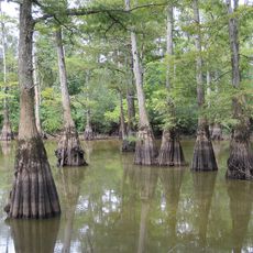
Nutbush is a small, sparsely populated community in Haywood County characterized by open cotton fields and rural surroundings. The landscape consists mainly of farmland with scattered buildings and little commercial development.

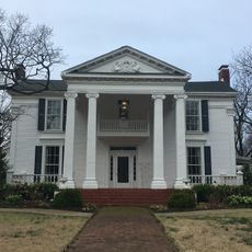
European-American settlers arrived in the early 19th century and established cotton plantations in the area. This agricultural foundation shaped the community's development for more than a century.

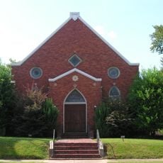
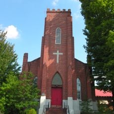
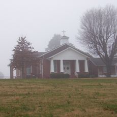
The Trinity United Methodist Church and the Woodlawn Missionary Baptist Church have served as gathering places for residents across generations. These two buildings anchor the community's religious and social life.

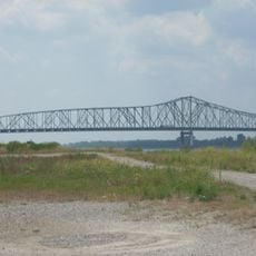
The area is accessed via Tennessee State Route 19, locally known as the Tina Turner Highway. Plan your visit to account for rural roads and limited amenities in this farming community.

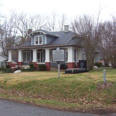
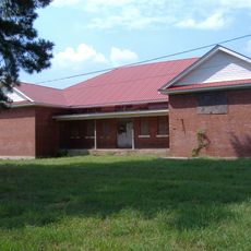
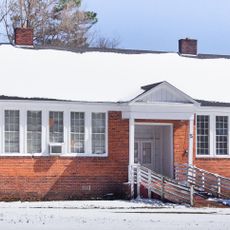
A museum housed at the former Flagg Grove School displays costumes and memorabilia from the career of the community's most renowned resident. This unexpected cultural site attracts visitors interested in the personal roots of a legendary performer.

The community of curious travelers

AroundUs brings together thousands of curated places, local tips, and hidden gems, enriched daily by 60,000 contributors worldwide.

Start exploring
Location
Elevation above the sea
109 m
GPS coordinates
35.69810,-89.40810
Latest update
December 14, 2025 18:16
Around this place
West Tennessee
United States of America

West Tennessee

18.8 km
Fort Pillow State Park
United States of America

Fort Pillow State Park

39.9 km
Caruthersville Bridge
United States of America

Caruthersville Bridge

50 km
Alex Haley House and Museum
United States of America

Alex Haley House and Museum

15.5 km
Hatchie National Wildlife Refuge
United States of America

Hatchie National Wildlife Refuge

28 km
Temple Adas Israel
United States of America

Temple Adas Israel

17.4 km
Allen-White School
United States of America

Allen-White School

47 km
Mississippi County Courthouse
United States of America

Mississippi County Courthouse

50.7 km
Edward Moody King House
United States of America

Edward Moody King House

37.4 km
Zion Church
United States of America

Zion Church

17.5 km
Kress Building
United States of America

Kress Building

50.7 km
Bank of Osceola
United States of America

Bank of Osceola

50.5 km
Lauderdale County Courthouse
United States of America

Lauderdale County Courthouse

12.3 km
Osceola Times Building
United States of America

Osceola Times Building

50.7 km
Bank of Alamo
United States of America

Bank of Alamo

28 km
United States of America

Lucerne

39.6 km
Bank of Dyersburg
United States of America

Bank of Dyersburg

37.3 km
Hale Avenue Historic District
United States of America

Hale Avenue Historic District

50.7 km
Joshua K. Hutchison House
United States of America

Joshua K. Hutchison House

17.7 km
United States of America

Stanton Masonic Lodge and School

25.9 km
Chris Tompkins House
United States of America

Chris Tompkins House

49.7 km
Brownsville Carnegie Library
United States of America

Brownsville Carnegie Library

17.5 km
Dodson House
United States of America

Dodson House

46.8 km
Fort Pillow State Historic Park
United States of America

Fort Pillow State Historic Park

40.8 km
Senter-Rooks House
United States of America

Senter-Rooks House

47.4 km
Stanton School
United States of America

Stanton School

26.2 km
Trinity United Methodist Church
United States of America

Trinity United Methodist Church

968 m
Lenox Bridge
United States of America

Lenox Bridge

45 km
Show the full map
Reviews
Share your experience

No review yet

Discussions
Start a discussion...

No discussion yet

« Nutbush - Rural community in Haywood County, Tennessee » is provided by Around Us (aroundus.com). Images and texts are derived from Wikimedia project under a Creative Commons license. You are allowed to copy, distribute, and modify copies of this page, under the conditions set by the license, as long as this note is clearly visible.

Discover hidden gems everywhere you go!

From secret cafés to breathtaking viewpoints, skip the crowded tourist spots and find places that match your style. Our app makes it easy with voice search, smart filtering, route optimization, and insider tips from travelers worldwide. Download now for the complete mobile experience.

Around Us App Screenshot

A unique approach to discovering new places

Le Figaro

All the places worth exploring

France Info

A tailor-made excursion in just a few clicks

20 Minutes

Around Us
Travel Guide & Maps
Download

Send to your phone

QR Code
1

Open the camera app on your mobile.

2

Point at the QR code with your camera. A notification will appear.

3

Tap the notification to open the link.