Chest opened
+${chestReward.xp} XP
Explorer
NOUVEAU ×${chestReward.collectible.quantity}
tapez pour fermer

See the monuments around you in AR Open chests in the app

Around Us is built for your phone — point your camera at the streets and discover the monuments and places around you in augmented reality. Around Us is built for your phone — chests unlock when you walk, explore and capture nearby places.

Enable Location

We need your location to show you interesting places around you

Discover nearby places

Find interesting locations and hidden gems around you

Precise directions

Get accurate directions and distances to places

Your location is never shared with other users. It's only used when you tap the location button.

Pine Mountain

Log in to your account

Start exploring — it's free

Trusted by 86,289 travelers worldwide

Continue with Google
Continue with Apple
or

We will send you a code to connect

By continuing, you accept our Terms and Conditions and our Privacy Policy

Check your inbox

We've sent a pincode in your inbox. Please enter the code below.

Pine Mountain
Discussion Reviews 1 Photos
9.2k Popularity

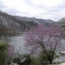
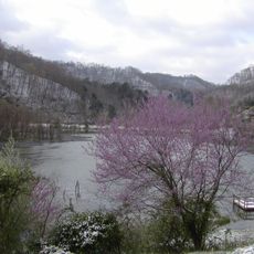
Pine Mountain, Mountain range in southeastern Kentucky, United States

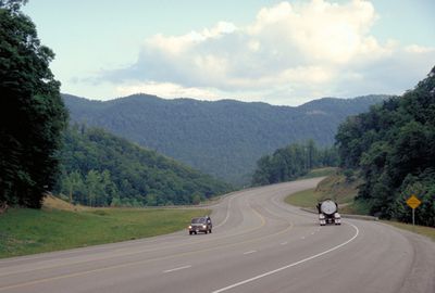
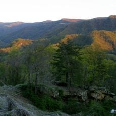
Pine Mountain is a mountain range in southeastern Kentucky that forms a continuous ridge running across the region. The elevation varies along its length, creating a prominent landform that stands above the surrounding terrain.

The mountain acted as a major obstacle for settlers moving westward during the colonial and early statehood periods. Its position shaped travel routes and influenced where early communities established themselves in the expanding frontier.

The mountain communities here maintain long-standing Appalachian traditions, with local artisans keeping traditional crafts alive and folk music remaining part of everyday gatherings and celebrations. These practices reflect the region's deep connection to its heritage.

The area has multiple hiking trails with varying difficulty levels that give access to viewpoints and natural features throughout the ridge. Planning ahead and bringing proper footwear helps make the most of exploring this terrain.

Plant and animal species from northern and southern climates meet here at the limits of their natural ranges. This ecological meeting point makes the region noteworthy for those interested in observing natural diversity.

The community of curious travelers

AroundUs brings together thousands of curated places, local tips, and hidden gems, enriched daily by 60,000 contributors worldwide.
Start exploring
Location
GPS coordinates
37.05140,-82.87360
Latest update
September 12, 2026 04:27
Around this place
Black Mountain
United States of America

Black Mountain

9.5 mi
United States of America

High Knob

17.4 mi
Pine Mountain Settlement School
United States of America

Pine Mountain Settlement School

18.5 mi
Bad Branch Falls State Nature Preserve
United States of America

Bad Branch Falls State Nature Preserve

5.7 mi
Carr Creek Lake
United States of America

Carr Creek Lake

14.6 mi
Kentucky Coal Mining Museum
United States of America

Kentucky Coal Mining Museum

7.4 mi
Southwest Virginia Museum Historical State Park
United States of America

Southwest Virginia Museum Historical State Park

14 mi
Carr Creek State Park
United States of America

Carr Creek State Park

14.4 mi
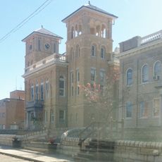
Wise County Courthouse
United States of America

Wise County Courthouse

17 mi
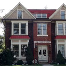
June Tolliver House
United States of America

June Tolliver House

13.9 mi
John Fox, Jr. House
United States of America

John Fox, Jr. House

13.9 mi
E. M. Fulton House
United States of America

E. M. Fulton House

16.9 mi
Sunnydale Farm
United States of America

Sunnydale Farm

18.8 mi
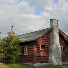
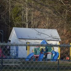
Terrace Park Girl Scout Cabin
United States of America

Terrace Park Girl Scout Cabin

13.9 mi
United States of America

Devils Fork

19.7 mi
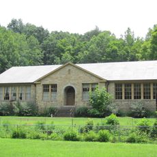
Flat Gap High School
United States of America

Flat Gap High School

10.2 mi
United States of America

Clinch Ranger District Cluster

16.1 mi
Tacoma School
United States of America

Tacoma School

20.5 mi
Stonega Historic District
United States of America

Stonega Historic District

8.2 mi
Kelly View School
United States of America

Kelly View School

11.2 mi
Derby Historic District
United States of America

Derby Historic District

8.6 mi
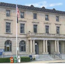
United States Post Office and Courthouse
United States of America

United States Post Office and Courthouse

13.9 mi
United States of America

Laurel Fork

19.6 mi
United States of America

North Fork of the Pound

13.1 mi
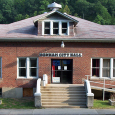
Benham Historic District
United States of America

Benham Historic District

7.4 mi
Lynch Historic District
United States of America

Lynch Historic District

6.5 mi
Cumberland Central Business District
United States of America

Cumberland Central Business District

8.3 mi
Whitesburg Historic District
United States of America

Whitesburg Historic District

5.3 mi
Show the full map
Reviews
Share your experience

No review yet

Discussions
Start a discussion...

No discussion yet

« Pine Mountain - Mountain range in southeastern Kentucky, United States » is provided by Around Us (aroundus.com). Images and texts are derived from Wikimedia project under a Creative Commons license. You are allowed to copy, distribute, and modify copies of this page, under the conditions set by the license, as long as this note is clearly visible.

Discover hidden gems everywhere you go!

From secret cafés to breathtaking viewpoints, skip the crowded tourist spots and find places that match your style. Our app makes it easy with voice search, smart filtering, route optimization, and insider tips from travelers worldwide. Download now for the complete mobile experience.

Around Us App Screenshot

A unique approach to discovering new places

Le Figaro

All the places worth exploring

France Info

A tailor-made excursion in just a few clicks

20 Minutes

Around Us
Travel Guide & Maps
Download

Send to your phone

QR Code
1

Open the camera app on your mobile.

2

Point at the QR code with your camera. A notification will appear.

3

Tap the notification to open the link.