
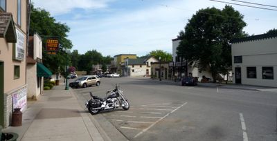
Carver, city in Carver County, Minnesota
Location: Carver County
Elevation above the sea: 223 m
Website: http://cityofcarver.com
GPS coordinates: 44.76361,-93.62583
Latest update: April 8, 2025 00:45
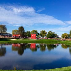
Hazeltine National Golf Club
8.3 km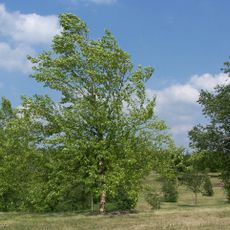
Minnesota Landscape Arboretum
11 km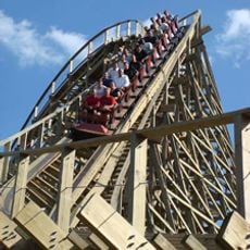
Renegade
13.7 km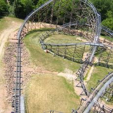
Excalibur
13.4 km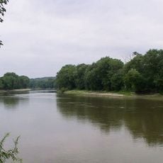
Minnesota Valley State Recreation Area
12.9 km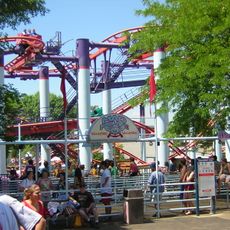
Mad Mouse
13.8 km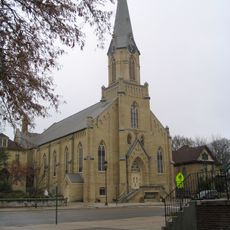
Guardian Angels Church
3 km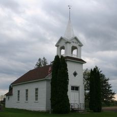
Zoar Moravian Church
10.3 km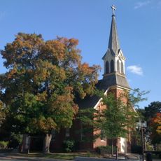
Church of St. Hubertus-Catholic
13.3 km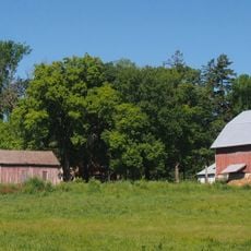
Andrew Peterson Farmstead
13.6 km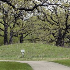
Shakopee Historic District
11.6 km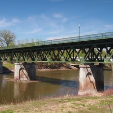
Holmes Street Bridge
8.8 km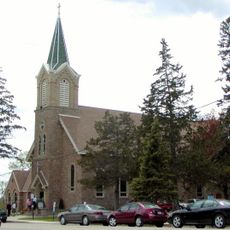
Saint Mary's Church of the Purification
8.3 km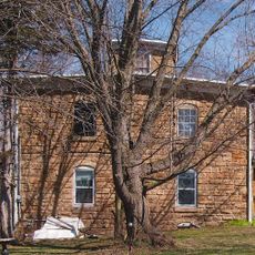
Foss and Wells House
11.9 km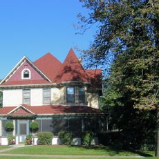
Walnut Street Historic District
3.3 km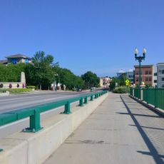
Chaska Bridge
3 km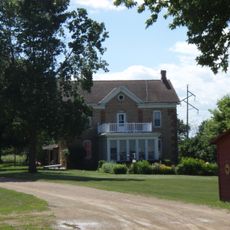
Strunk–Nyssen House
6.1 km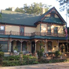
Carver Historic District
22 m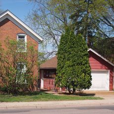
Early Shakopee Houses
9.1 km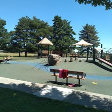
Splash pad
7.2 km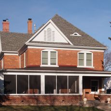
Julius A. Coller House
9.1 km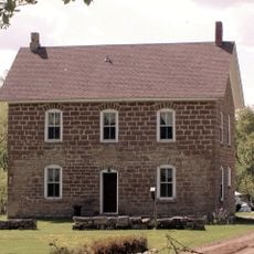
Abraham Bisson House
13.4 km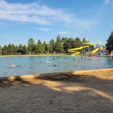
SandVenture Aquatic Park
7.2 km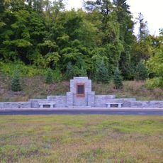
Little Rapids Fur Post Historical Marker
2.4 km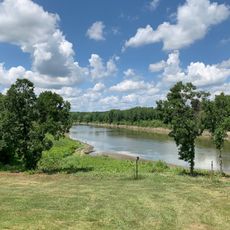
The Landing
12 km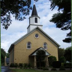
Laketown Moravian Brethren's Church
12.4 km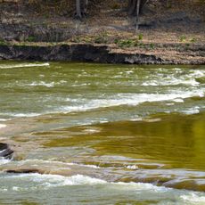
Carver Rapids
4.3 km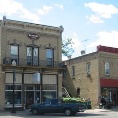
Jordan Historic District
10.9 kmVisited this place? Tap the stars to rate it and share your experience / photos with the community! Try now! You can cancel it anytime.
Discover hidden gems everywhere you go!
From secret cafés to breathtaking viewpoints, skip the crowded tourist spots and find places that match your style. Our app makes it easy with voice search, smart filtering, route optimization, and insider tips from travelers worldwide. Download now for the complete mobile experience.

A unique approach to discovering new places❞
— Le Figaro
All the places worth exploring❞
— France Info
A tailor-made excursion in just a few clicks❞
— 20 Minutes