Comerío, Municipality in central Puerto Rico, United States
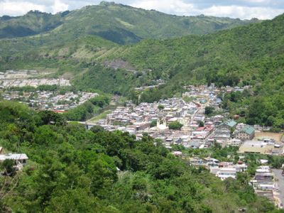
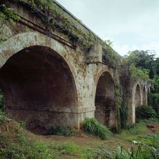
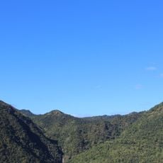
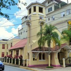
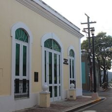
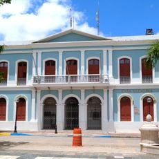
Comerío is a municipality located in Puerto Rico's central mountain region, situated at an elevation of about 623 feet within the Cordillera Central. The compact administrative area includes both town and rural zones, with a town hall serving as the main center for local services and governance.
Comerío was established as a municipality during the development of Puerto Rico's local administration system under United States territorial governance. This creation addressed the need to organize communities in mountainous regions through formal administrative structures.
Comerío maintains strong connections to its rural agricultural roots while serving as a local administrative hub. The town center hosts daily gatherings where residents handle official matters and social interactions blend naturally with community life.
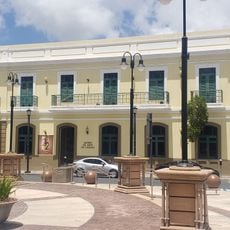
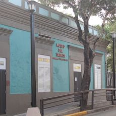
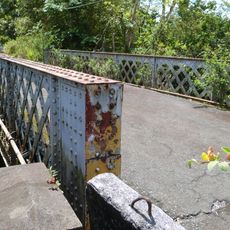
Visitors and residents can access municipal services at the town hall located on Calle José de Diego, where official documents and local permits are available. The mountainous location makes car access practical and necessary, with roads connecting from the surrounding lowland communities.
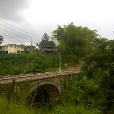
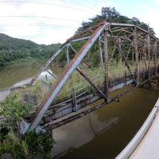
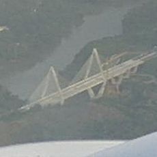
This municipality sits at the convergence of several surrounding communities, functioning as a connection point within the mountain landscape. Its position creates a natural junction linking different areas of Puerto Rico's highland region.
The community of curious travelers
AroundUs brings together thousands of curated places, local tips, and hidden gems, enriched daily by 60,000 contributors worldwide.