Stanton, town in Tennessee
Location: Haywood County
Elevation above the sea: 96 m
Website: http://haywoodcountybrownsville.com/haywoodcounty/Stanton.aspx
GPS coordinates: 35.46250,-89.40139
Latest update: May 6, 2025 07:36
West Tennessee
32.1 km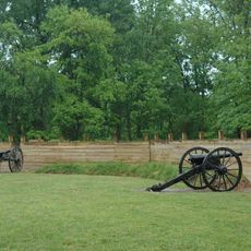
Fort Pillow State Park
44.4 km
Nodena Site
50.9 km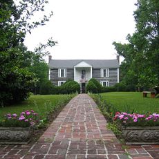
Davies Manor
41.2 km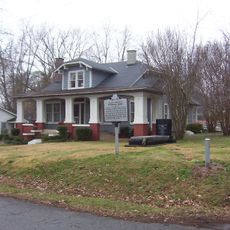
Alex Haley House and Museum
28.3 km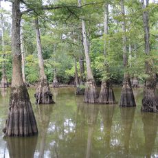
Hatchie National Wildlife Refuge
17.3 km
Memphis Tennessee Temple
46.8 km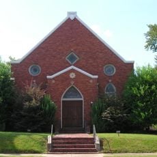
Temple Adas Israel
19.4 km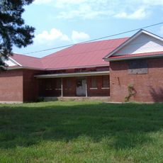
Allen-White School
27.1 km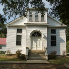
Hickory Withe Presbyterian Church
35.8 km
Urban Air Trampoline and Adventure Park
50 km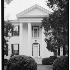
La Grange Historic District
50 km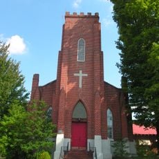
Zion Church
19.5 km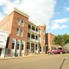
Hotel Lindo
25 km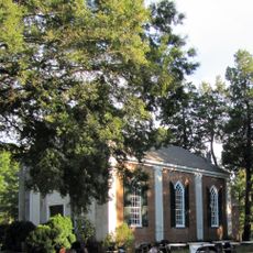
Immanuel Church
48.8 km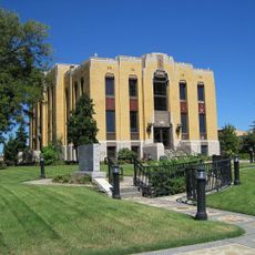
Lauderdale County Courthouse
33.6 km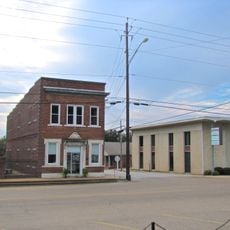
Bank of Alamo
44.2 km
Lucerne
14 km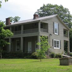
Mt. Airy
41.5 km
Bolivar Court Square Historic District
44.1 km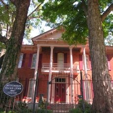
Joshua K. Hutchison House
19.7 km
Somerville Historic District
25.2 km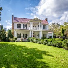
Miller House
42.4 km
Stanton Masonic Lodge and School
457 m
Rossville Historic District
47.9 km
Brownsville Carnegie Library
19.2 km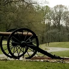
Fort Pillow State Historic Park
45 km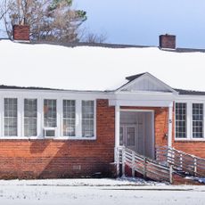
Stanton School
304 mVisited this place? Tap the stars to rate it and share your experience / photos with the community! Try now! You can cancel it anytime.
Discover hidden gems everywhere you go!
From secret cafés to breathtaking viewpoints, skip the crowded tourist spots and find places that match your style. Our app makes it easy with voice search, smart filtering, route optimization, and insider tips from travelers worldwide. Download now for the complete mobile experience.

A unique approach to discovering new places❞
— Le Figaro
All the places worth exploring❞
— France Info
A tailor-made excursion in just a few clicks❞
— 20 Minutes