Enable Location

We need your location to show you interesting places around you

Discover nearby places

Find interesting locations and hidden gems around you

Precise directions

Get accurate directions and distances to places

Your location is never shared with other users. It's only used when you tap the location button.

Toa Baja

Log in to your account

Start exploring — it's free

Trusted by 61,597 travelers worldwide

Continue with Google
Continue with Apple
or

We will send you a code to connect

By continuing, you accept our Terms and Conditions and our Privacy Policy

Check your inbox

We've sent a pincode in your inbox. Please enter the code below.

Toa Baja, Administrative division in Puerto Rico, United States.

Description

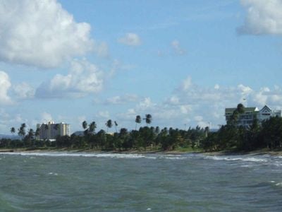
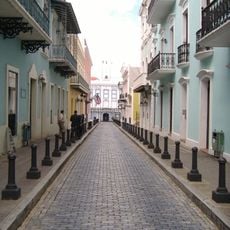
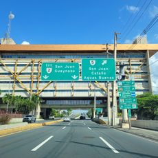
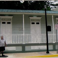
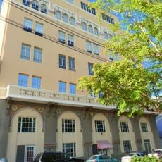
Toa Baja is a municipality on the northern coast of Puerto Rico, stretching between Dorado to the west and Cataño to the east. The territory borders Toa Alta and Bayamón to the south and consists of several neighborhoods with distinct local characteristics.

History

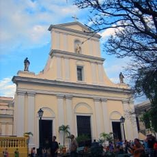
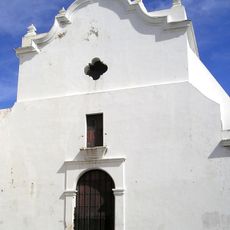
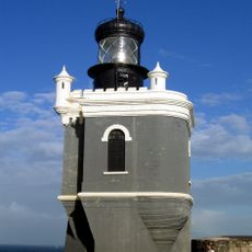
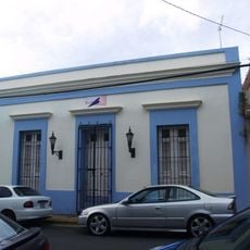
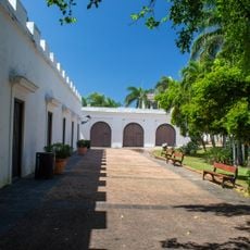
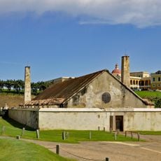
The municipality received official establishment in 1745, followed by the construction of the Nuestra Señora de la Concepción church in 1749. These early structures marked the beginning of organized governance and urban development in the area.

Culture

The municipality celebrates Fiestas Patronales de San Pedro Apostol in June and the Festival de la Zafra in October, with traditional celebrations shaping community life. These events bring people together and reflect the deep connection residents maintain with their heritage.

Practical

The area is divided into multiple neighborhoods, each with different postal codes including 00949, 00950, 00951, and 00952. Sabana Seca serves as one distinct neighborhood and is specifically designated by postal code 00952.

Did you know?

The territory is crossed by three major rivers: the Río de la Plata, Río Cocal, and Río Hondo. The Río de la Plata stands out as the longest river running across the entire island of Puerto Rico.

Location
Inception
1745
Capital city
Toa Baja
Shares border with
Cataño, Bayamón, Dorado, Toa Alta
GPS coordinates
18.44378,-66.25278
Latest update
December 7, 2025 10:07

AroundUs brings together thousands of curated places, local tips, and hidden gems, enriched daily by 60,000 contributors worldwide. Discover all places nearby (Puerto Rico).

Around this place
Castillo San Felipe del Morro
United States of America

Castillo San Felipe del Morro

13.9 km
La Fortaleza
United States of America

La Fortaleza

19.4 km
Cathedral of San Juan Bautista
United States of America

Cathedral of San Juan Bautista

14.5 km
San José Church
United States of America

San José Church

14.4 km
San Juan National Historic Site
United States of America

San Juan National Historic Site

14.1 km
Casa Blanca
Puerto Rico

Casa Blanca

14.2 km
Paseo del Morro
United States of America

Paseo del Morro

14 km
Plaza del Quinto Centenario
United States of America

Plaza del Quinto Centenario

14.4 km
La Fortaleza and San Juan National Historic Site
United States of America

La Fortaleza and San Juan National Historic Site

14.3 km
Puerto Rico National Cemetery
United States of America

Puerto Rico National Cemetery

9.7 km
Paseo de la Princesa
United States of America

Paseo de la Princesa

14.5 km
El Cañuelo
United States of America

El Cañuelo

12.5 km
Ballajá Barracks
United States of America

Ballajá Barracks

14.3 km
El Morro or Port San Juan Light
United States of America

El Morro or Port San Juan Light

14 km
Bayamón Soccer Complex
United States of America

Bayamón Soccer Complex

12.6 km
Dr. Agustín Stahl Stamm House
United States of America

Dr. Agustín Stahl Stamm House

11.5 km
Bayamón City Hall
United States of America

Bayamón City Hall

11.5 km
José Celso Barbosa House Museum
United States of America

José Celso Barbosa House Museum

11.5 km
Museo Casa Blanca
Puerto Rico

Museo Casa Blanca

14.2 km
Museo de las Américas
United States of America

Museo de las Américas

14.3 km
La Rogativa
United States of America

La Rogativa

14.3 km
Polvorín de Santa Elena (San Juan)
United States of America

Polvorín de Santa Elena (San Juan)

14 km
La Casa del Libro
United States of America

La Casa del Libro

14.4 km
Plaza de Ballajá
United States of America

Plaza de Ballajá

14.2 km
Palace of Royal Administration (San Juan)
United States of America

Palace of Royal Administration (San Juan)

14.5 km
"El Mundo" building
United States of America

"El Mundo" building

14.5 km
Bastion de las Palmas
United States of America

Bastion de las Palmas

14.5 km
Raíces Fountain
United States of America

Raíces Fountain

14.3 km
Show the full map
« Toa Baja - Administrative division in Puerto Rico, United States » is provided by Around Us (aroundus.com). Images and texts are derived from Wikimedia project under a Creative Commons license. You are allowed to copy, distribute, and modify copies of this page, under the conditions set by the license, as long as this note is clearly visible.

Discover hidden gems everywhere you go!

From secret cafés to breathtaking viewpoints, skip the crowded tourist spots and find places that match your style. Our app makes it easy with voice search, smart filtering, route optimization, and insider tips from travelers worldwide. Download now for the complete mobile experience.

Around Us App Screenshot

A unique approach to discovering new places

Le Figaro

All the places worth exploring

France Info

A tailor-made excursion in just a few clicks

20 Minutes

Around Us
Travel Guide & Maps
Download

Send to your phone

QR Code
1

Open the camera app on your mobile.

2

Point at the QR code with your camera. A notification will appear.

3

Tap the notification to open the link.