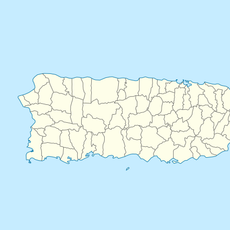
Yabucoa, municipality in Puerto Rico
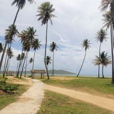
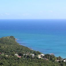
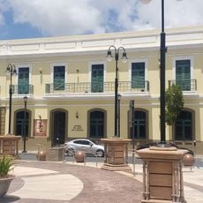
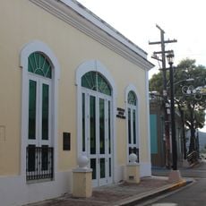
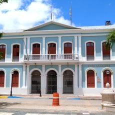
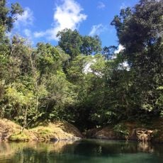
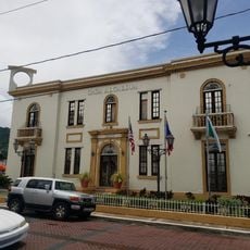
Yabucoa is a municipality on Puerto Rico's east coast where mountains meet the sea, creating a landscape of hills and beaches spanning about 83 square miles. The area is organized into several neighborhoods called barrios, with Pueblo serving as the center, housing the town hall, main church, and a large plaza that functions as a gathering space for community events and festivals.
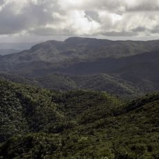
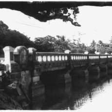
Yabucoa was officially established in 1793 and evolved from a port village with trading importance to a community centered on agriculture. The surrounding valley once flourished with sugarcane plantations, later shifting to banana cultivation and small-scale farming that continues to define the area's economy and landscape.
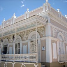
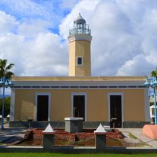
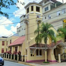
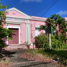
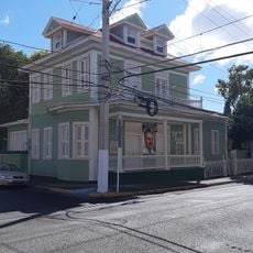
Yabucoa displays a mix of Spanish and Caribbean influences visible in its colorful buildings and local festivals centered around the main plaza. The town's patron saint is honored through bronze guardian angel statues, and residents maintain daily rhythms of gathering in public spaces and visiting neighborhood shops that reflect a strong sense of community identity.
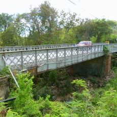
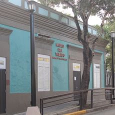
You can reach Yabucoa through Puerto Rico's main airports and drive to the area via scenic roads, then explore the central zone on foot where shops and restaurants line the streets. Be prepared for narrow town roads and uneven pavement where sidewalks sit higher than the street and manhole covers protrude, making careful walking advisable in older areas.
The area is known for unusual tropical fruits including noni with its distinctive strong flavor and jobillos that taste like blueberries and grow in clusters. Tall bamboo plants serve as windbreaks throughout the farmland, protecting against erosion and creating a distinctive ecological character that visitors rarely encounter in other parts of Puerto Rico.
The community of curious travelers
AroundUs brings together thousands of curated places, local tips, and hidden gems, enriched daily by 60,000 contributors worldwide.