Yarmouth, town in Massachusetts, United States
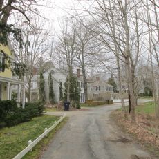
Yarmouth is a small town on Cape Cod in Massachusetts with two distinct areas: Yarmouth Port in the north and West Yarmouth and South Yarmouth in the south. The town spans just over 4 miles (6 kilometers) and consists of residential neighborhoods with houses in various styles, quiet streets with small shops and restaurants, and beach access along the Atlantic coast and Cape Cod Bay.
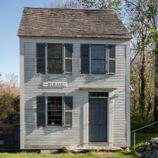
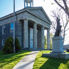
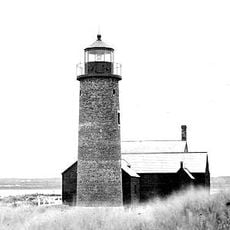
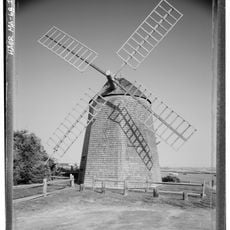
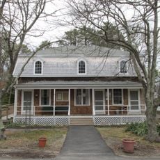
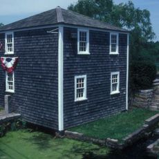
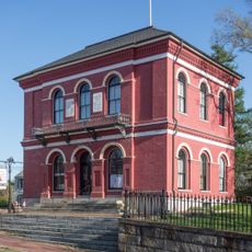
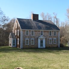
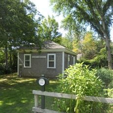
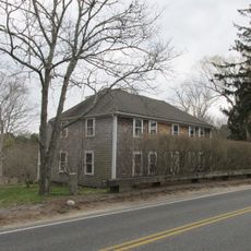
Yarmouth was founded in the 1600s and developed from a fishing settlement with maritime trade and shipbuilding into a quiet residential community today. Old churches, historic homes, and preserved fishing sheds scattered throughout the town mark its long heritage and deep connection to seafaring life.
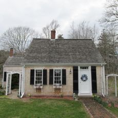
Yarmouth has two distinct characters: the northern Yarmouth Port area feels historical and calm with old cottages, galleries, and local shops, while West Yarmouth and South Yarmouth on the south side attract more families and visitors. The fishing heritage remains visible in remaining fishing buildings and docks, and locals celebrate this past through community events and seasonal gatherings centered on maritime traditions.
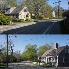
Yarmouth is easily navigable by car with well-maintained, quiet roads throughout the town. The best time to visit is during spring through fall when the weather is warm, beaches are open, and local events and markets are regularly scheduled.
Bass Hole Boardwalk extends roughly 900 feet over marshes to Cape Cod Bay and draws visitors for early morning birdwatching or evening sunsets. Edward Gorey House, home to the artist and writer, preserves his studio atmosphere with original sketches and personal belongings intact, open to visitors from April through December.
The community of curious travelers
AroundUs brings together thousands of curated places, local tips, and hidden gems, enriched daily by 60,000 contributors worldwide.