Cayey, Administrative division in Cayey Valley, Puerto Rico.
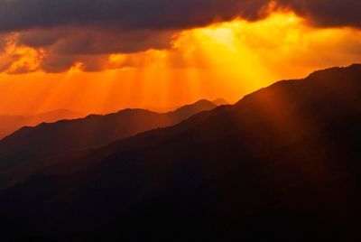
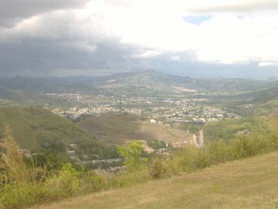
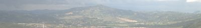
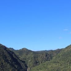
Cayey is a municipality located in the central mountainous region of Puerto Rico within a valley surrounded by higher elevations. The terrain features rolling hills and mountains that define the area's geography.
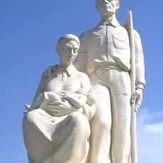
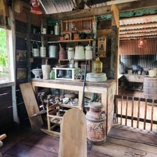
Established in 1773, the municipality grew from agricultural foundations into an organized administrative center. Over the centuries, it developed into a structured part of Puerto Rico's local government system.
The name comes from the Taíno language, reflecting the indigenous roots of the region before Spanish arrival. This connection to the original inhabitants remains part of the community's identity today.
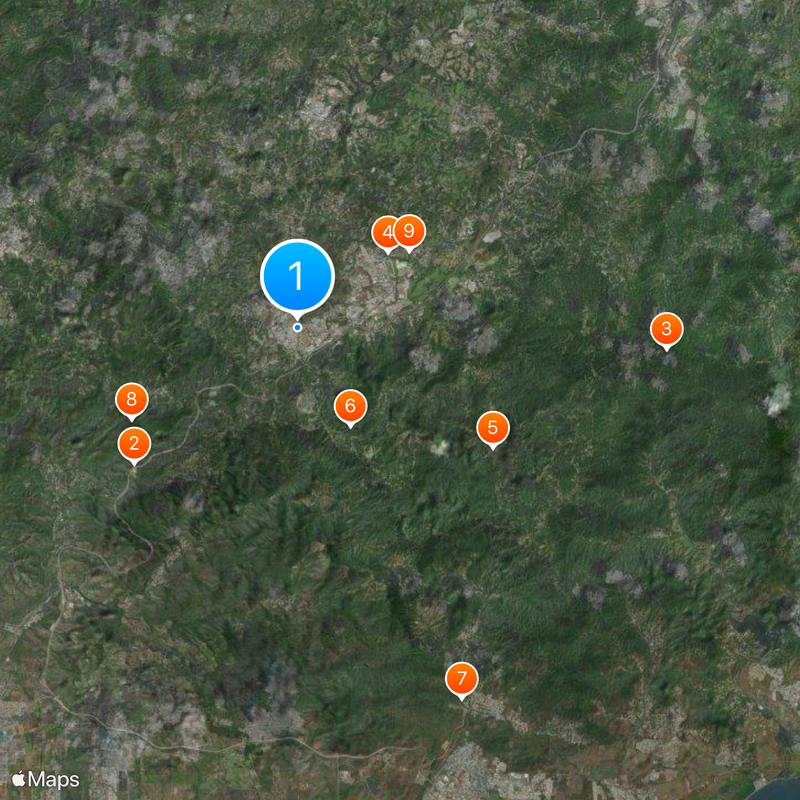
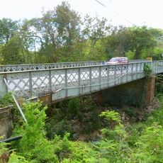
The area sits within a valley with mountainous terrain, so visitors should expect winding roads and varying weather conditions at elevation. A good map or GPS guidance is helpful for navigating the region's mountain routes to nearby towns.
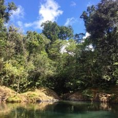
The municipality nestles within the Carite Forest, offering dense woodlands and natural waterfalls around the area. This forest setting makes it a gateway for nature seekers interested in mountain trails and water features.
The community of curious travelers
AroundUs brings together thousands of curated places, local tips, and hidden gems, enriched daily by 60,000 contributors worldwide.