Monson, town in Massachusetts
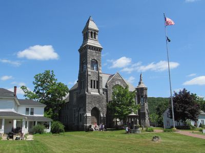
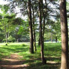
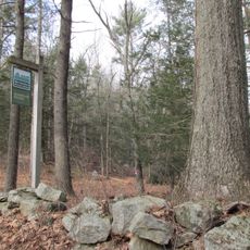
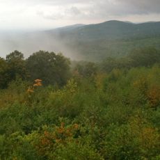
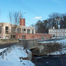
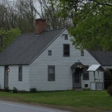
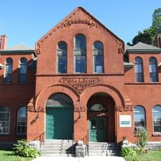
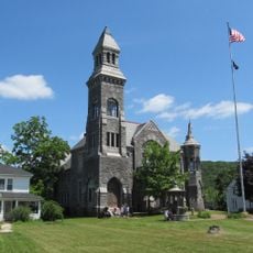
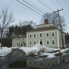
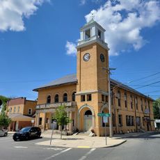
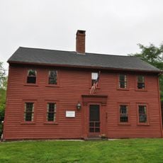
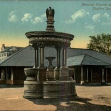
Monson is a small town in Hampden County, Massachusetts, set across rolling hills with forests and streams winding through the landscape. The townscape features old granite houses, historic mill buildings along Chicopee Brook, and public spaces that form the community center.
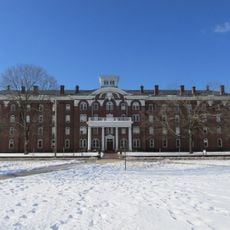
Monson was established in 1760 after separating from Brimfield and began as a farming community. During the 1800s, mills, granite quarries, and hat factories grew rapidly, driving the economy and leading to the founding of Monson Academy in 1804 and the arrival of the railroad in 1850.
The name Monson reflects the town's colonial roots and early settlement patterns. Visitors can experience the community's connection to its past through local gatherings and celebrations that bring residents together throughout the year.
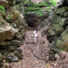
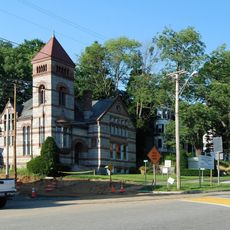
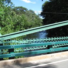
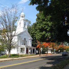
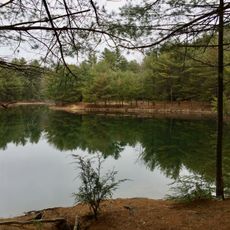
The town is best explored on foot, with Main Street and public parks offering good starting points for visitors. The nearby Quaboag River area works well for walking and observing nature, especially for those wanting to experience the slower pace of the area.
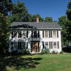
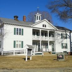
Monson gained its name from John Monson, an early landowner, reflecting colonial naming practices of the time. Main Street earned the nickname 'Millionaire's Mile' because wealthy mill owners built grand mansions there, many of which still stand today.
The community of curious travelers
AroundUs brings together thousands of curated places, local tips, and hidden gems, enriched daily by 60,000 contributors worldwide.