
Westmoreland, town in Cheshire County, New Hampshire, United States
Location: Cheshire County
Inception: 1752
Elevation above the sea: 127 m
Website: http://westmorelandtown.com
GPS coordinates: 42.96194,-72.44222
Latest update: April 3, 2025 02:43
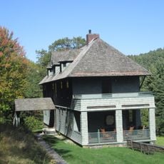
Naulakha
12.2 km
Westminster massacre
12.4 km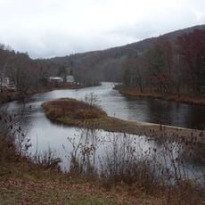
Ashuelot River
11.4 km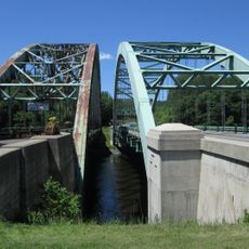
United States Navy Seabees Bridge
12.5 km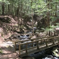
Chesterfield Gorge Natural Area
6.1 km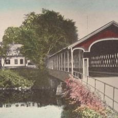
West Swanzey Covered Bridge
13.7 km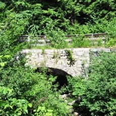
Sacketts Brook Stone Arch Bridge
6.3 km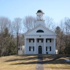
Walpole Academy
13.1 km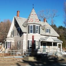
Putney Village Historic District
6.8 km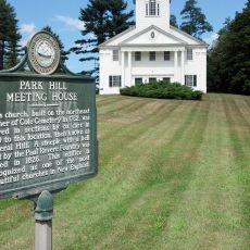
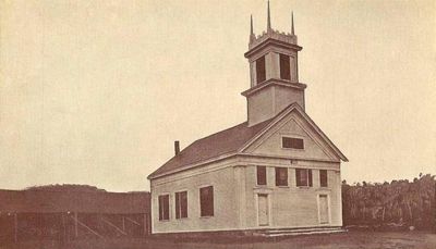
Park Hill Meetinghouse
1.9 km
Sawyer Tavern
10.5 km
Stephen Rowe Bradley House
13.1 km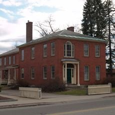
Colony House
13.4 km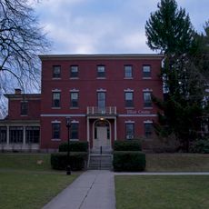
Elliot Mansion
14 km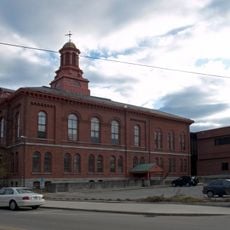
Cheshire County Courthouse
13.6 km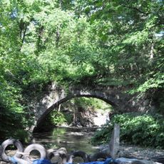
East Putney Brook Stone Arch Bridge
3.4 km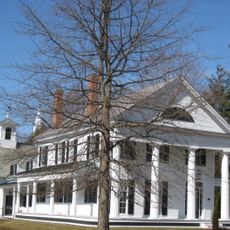
Peck-Porter House
13 km
Noah Cooke House
9.3 km
Theophilus Crawford House
8.7 km
Dickinson Estate Historic District
12.8 km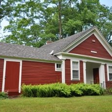
High Tops School
3.6 km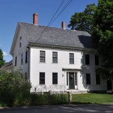
Sabin-Wheat Farm
8.4 km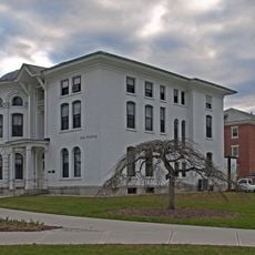
Dinsmoor-Hale House
13.9 km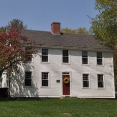
Mason-Watkins House
8.9 km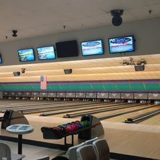
Brattleboro Bowl
13.3 km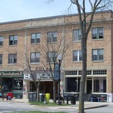
Colonial Theatre
13.8 km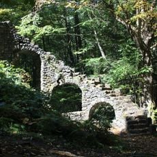
Madame Sherri's Castle
12.6 km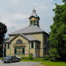
Westminster Village Historic District
11.9 kmReviews
Visited this place? Tap the stars to rate it and share your experience / photos with the community! Try now! You can cancel it anytime.
Discover hidden gems everywhere you go!
From secret cafés to breathtaking viewpoints, skip the crowded tourist spots and find places that match your style. Our app makes it easy with voice search, smart filtering, route optimization, and insider tips from travelers worldwide. Download now for the complete mobile experience.

A unique approach to discovering new places❞
— Le Figaro
All the places worth exploring❞
— France Info
A tailor-made excursion in just a few clicks❞
— 20 Minutes