Cidra, Administrative municipality in central Puerto Rico, United States.
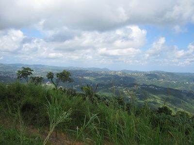
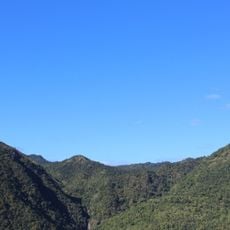
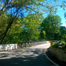
Cidra is a municipality in central Puerto Rico's mountainous region, spreading across hilly terrain at an elevation of about 1,378 feet in the Caguas Valley. The town has a rural character with buildings scattered across the valley floor and wooded hills surrounding it on all sides.
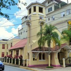
The municipality formed around a small chapel built by a Catalan settler in 1795 and gained independence from the neighboring town of Cayey in 1905. This event marked the shift from a rural settlement to an independent administrative unit.
The annual Fiesta Patronales de Nuestra Señora del Carmen shows how the community gathers for processions, shared meals, and music throughout the streets. These celebrations shape the town's character and bring neighbors together to mark their bonds.
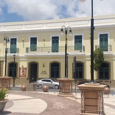
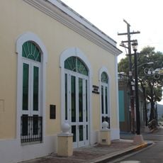
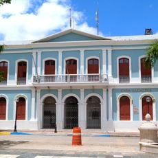
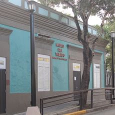
Access to municipal services is through the town hall on Avenida Industrial, where residents and visitors can handle various administrative matters and get information. The best time to visit is during the warmer months, and you should prepare for hilly terrain and limited parking in the main areas.
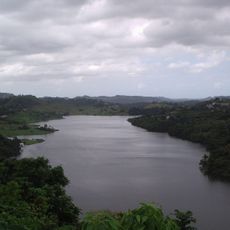
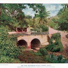
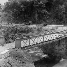
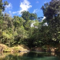
The Lago de Cidra reservoir, built in 1946, feeds multiple rivers in the region and supplies water for households and farming throughout the area. Today this lake offers a quiet spot where visitors can observe the water systems and natural setting of central Puerto Rico.
The community of curious travelers
AroundUs brings together thousands of curated places, local tips, and hidden gems, enriched daily by 60,000 contributors worldwide.