Enable Location

We need your location to show you interesting places around you

Discover nearby places

Find interesting locations and hidden gems around you

Precise directions

Get accurate directions and distances to places

Your location is never shared with other users. It's only used when you tap the location button.

Hatteras Island

Log in to your account

Start exploring — it's free

Trusted by 67,996 travelers worldwide

Continue with Google
Continue with Apple
or

We will send you a code to connect

By continuing, you accept our Terms and Conditions and our Privacy Policy

Check your inbox

We've sent a pincode in your inbox. Please enter the code below.

Hatteras Island
Discussion Reviews 1 Photos
74.3k Popularity

Hatteras Island, Barrier island in North Carolina, US

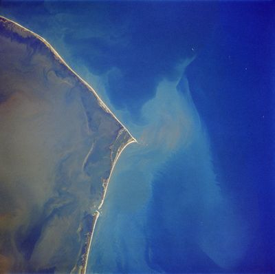
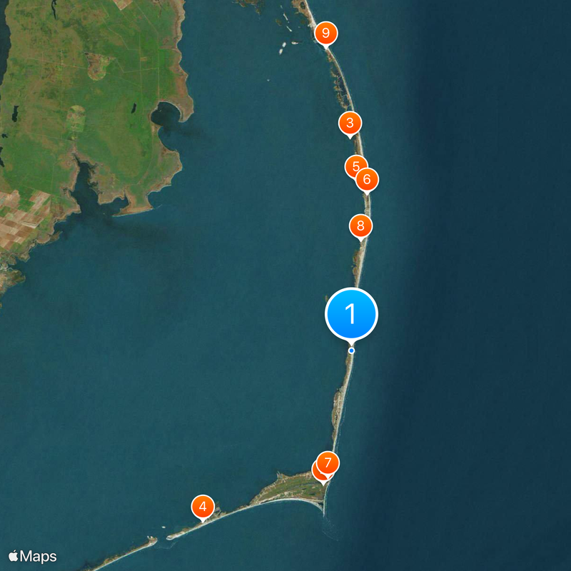
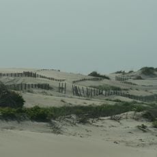
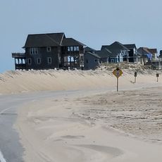
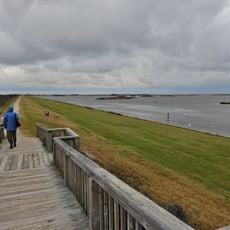
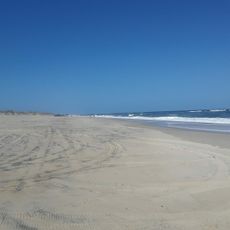
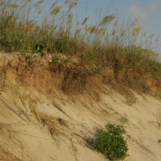
Hatteras Island is a narrow barrier formation stretching 42 miles along the coast, separating the Atlantic from Pamlico Sound through a chain of small settlements and open shoreline. Seven communities sit along the island, surrounded by dunes and natural beach that shift with wind and tide.

The Croatoan people lived here before European contact, with their main settlement near modern Buxton during the 1500s. The island later became a key point for navigation and lighthouse construction along this dangerous stretch of coast.

The maritime heritage of Hatteras Island centers on fishing traditions, with Hatteras Village maintaining its status as a primary destination for blue marlin catches.

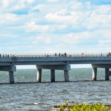
The Marc Basnight Bridge connects the northern Outer Banks to the island, providing a continuous road link. Strong winds and tidal currents can change weather and water conditions quickly.

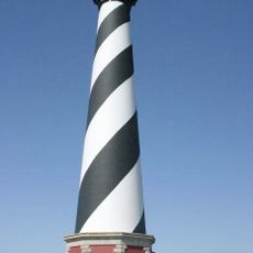
Cape Hatteras Lighthouse rises 198 feet (60 m), making it the tallest brick lighthouse in North America with its black and white spiral stripes. The tower was moved 2,900 feet (884 m) inland in 1999 to protect it from coastal erosion.

The community of curious travelers

AroundUs brings together thousands of curated places, local tips, and hidden gems, enriched daily by 60,000 contributors worldwide.

Start exploring
Location
GPS coordinates
35.40833,-75.48694
Latest update
December 13, 2025 17:17
Around this place
Cape Hatteras Lighthouse
United States of America

Cape Hatteras Lighthouse

18 km
Pea Island National Wildlife Refuge
United States of America

Pea Island National Wildlife Refuge

28.2 km
Graveyard of the Atlantic Museum
United States of America

Graveyard of the Atlantic Museum

29.9 km
Rodanthe Bridge
United States of America

Rodanthe Bridge

22.5 km
Chicamacomico Life-Saving Station
United States of America

Chicamacomico Life-Saving Station

20.9 km
United States of America

Naval Facility Cape Hatteras

17 km
Salvo Post Office
United States of America

Salvo Post Office

14.7 km
Oregon Inlet Station
United States of America

Oregon Inlet Station

40.2 km
Hatteras Weather Bureau Station
United States of America

Hatteras Weather Bureau Station

28 km
Rasmus Midgett House
United States of America

Rasmus Midgett House

15.3 km
Ellsworth and Lovie Ballance House
United States of America

Ellsworth and Lovie Ballance House

27.5 km
Frisco Mini-Golf and Go Carts
United States of America

Frisco Mini-Golf and Go Carts

19.3 km
United States of America

Marc Basnight Bridge

40.7 km
Rodanthe Public Beach Access
United States of America

Rodanthe Public Beach Access

20.8 km
North Pond Wildlife Trail
United States of America

North Pond Wildlife Trail

34.2 km
United States of America

Cape Hatteras Light

18 km
Pea Island National Wildlife Refuge Visitor Center
United States of America

Pea Island National Wildlife Refuge Visitor Center

34.3 km
Bald Beach
United States of America

Bald Beach

592 m
Pea Island Beach
United States of America

Pea Island Beach

34.7 km
United States of America

Frisco Bathhouse Sandy Bay Day Use Area

24.9 km
United States of America

Salvo Day Use Area

14 km
United States of America

The Futuro House

20.9 km
United States of America

Cape Hatteras Lighthouse Pavillion

17.9 km

Studio 12

7 km
United States of America

Pea Island Art Gallery

14.3 km
United States of America

Bald Beach

586 m
United States of America

Frisco Hatteras Access

25.9 km

Old Lighthouse Beach

17.5 km
Show the full map
Reviews
Share your experience

No review yet

Discussions
Start a discussion...

No discussion yet

« Hatteras Island - Barrier island in North Carolina, US » is provided by Around Us (aroundus.com). Images and texts are derived from Wikimedia project under a Creative Commons license. You are allowed to copy, distribute, and modify copies of this page, under the conditions set by the license, as long as this note is clearly visible.

Discover hidden gems everywhere you go!

From secret cafés to breathtaking viewpoints, skip the crowded tourist spots and find places that match your style. Our app makes it easy with voice search, smart filtering, route optimization, and insider tips from travelers worldwide. Download now for the complete mobile experience.

Around Us App Screenshot

A unique approach to discovering new places

Le Figaro

All the places worth exploring

France Info

A tailor-made excursion in just a few clicks

20 Minutes

Around Us
Travel Guide & Maps
Download

Send to your phone

QR Code
1

Open the camera app on your mobile.

2

Point at the QR code with your camera. A notification will appear.

3

Tap the notification to open the link.