Buchanan, city in Berrien County, Michigan, United Staes
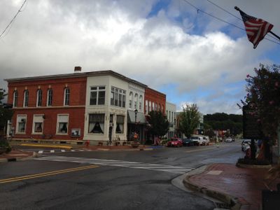
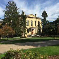
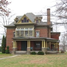
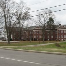
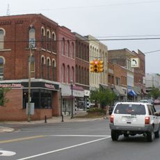
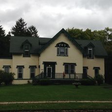
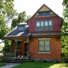
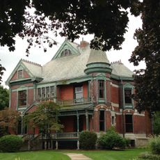
Buchanan is a small city in southeastern Berrien County, Michigan, with a population of just over four thousand. The town is defined by tree-lined streets, especially redbud trees that bloom in spring, creating a leafy appearance throughout the community and giving it distinctive visual character.
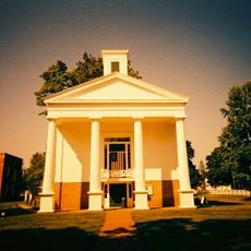
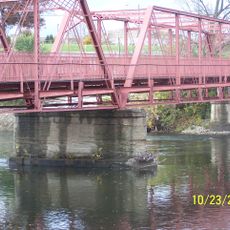
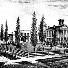
Settlement began around 1833 where McCoy Creek meets the St. Joseph River, a location long used by Potawatomi peoples. The town was officially laid out in 1842 and became an incorporated city in 1858, taking its name from James Buchanan, the 15th U.S. President.
Buchanan earns its nickname "Redbud City" from the red-flowering trees that line streets and bloom each spring, shaping the town's visual character and community pride. Residents actively nurture this connection to nature, reflected in the Tree City USA designation and how locals speak of the trees as emblematic of their home.
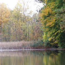
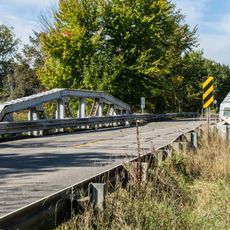
The town is easily accessible near major roads like US 31 and US 12, with a short drive to South Bend International Airport. It is walkable and bike-friendly, with the McCoy Creek Trail offering outdoor recreation opportunities right through downtown and local parks.
Reader's Digest named Buchanan "The Nicest Place in America" in 2020, recognizing the town's character and values. The city is also home to notable residents including BMX cyclist Hannah Roberts, an Olympic competitor and world champion, and automotive designer Virgil Exner.
The community of curious travelers
AroundUs brings together thousands of curated places, local tips, and hidden gems, enriched daily by 60,000 contributors worldwide.