
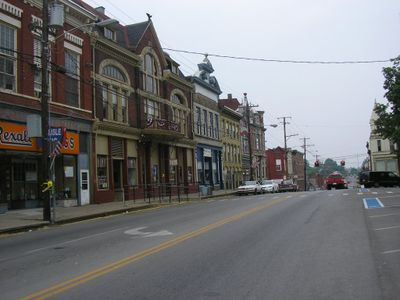
Carlisle, county seat in Kentucky, United States
Location: Nicholas County
Inception: 1816
Elevation above the sea: 262 m
Website: https://carlisle.ky.gov
GPS coordinates: 38.31583,-84.03194
Latest update: March 4, 2025 03:06
Cane Ridge
14.8 km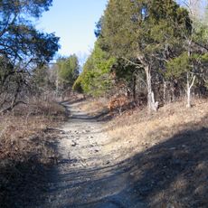
Blue Licks Battlefield State Park
12.9 km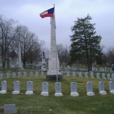
Confederate Monument in Cynthiana
23.4 km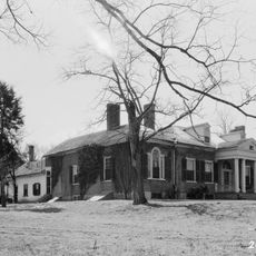
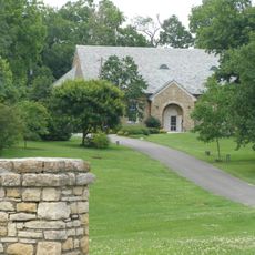
The Grange
16 km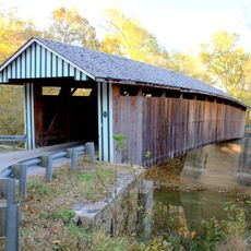
Colville Covered Bridge
15 km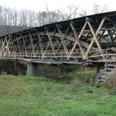
Johnson Creek Covered Bridge
19 km
Mound Hill Archaeological Site
25.9 km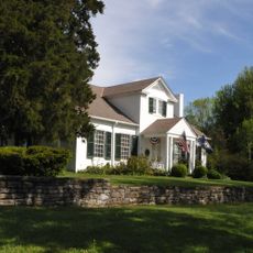
Forest Retreat
3.3 km
Spur Gasoline Station
24.4 km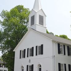
First Presbyterian Church
28.5 kmBourbon County Courthouse
22.2 km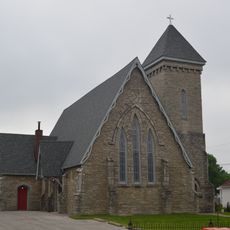
Church of the Advent, Episcopal
24.8 km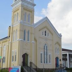
Methodist Episcopal Church South
29.7 km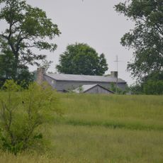
Thomas Metcalf House
20.9 km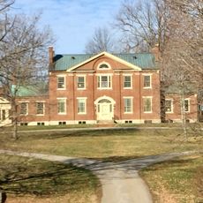
Walker Buckner House
15.6 km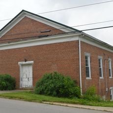
Elizaville Presbyterian Church
21.5 km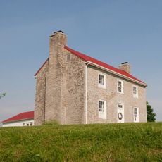
Poague House
29.6 km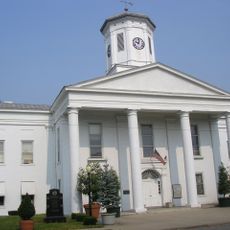
Harrison County Courthouse
24.6 km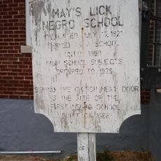
May's Lick Negro School
28.1 km
Snow Hill
12.5 km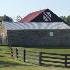
Stone Barn on Brushy Creek
3.5 km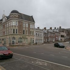
Paris Courthouse Square Historic District
22.2 km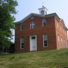
Robertson County Courthouse
24 km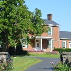
William Mathers House
1.1 km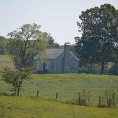
Erasmus Riggs House
5.9 km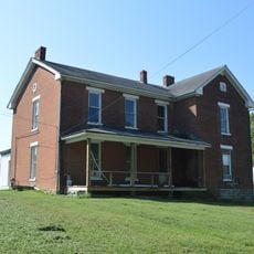
Thomas A. Dorsey Farmhouse
1 km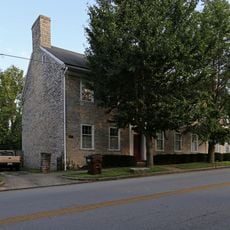
McKee-Vimont Row Houses
10.5 km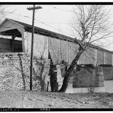
Covered Bridge over the South Fork of Licking River
24.6 kmVisited this place? Tap the stars to rate it and share your experience / photos with the community! Try now! You can cancel it anytime.
Discover hidden gems everywhere you go!
From secret cafés to breathtaking viewpoints, skip the crowded tourist spots and find places that match your style. Our app makes it easy with voice search, smart filtering, route optimization, and insider tips from travelers worldwide. Download now for the complete mobile experience.

A unique approach to discovering new places❞
— Le Figaro
All the places worth exploring❞
— France Info
A tailor-made excursion in just a few clicks❞
— 20 Minutes