
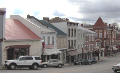
Flemingsburg, human settlement in Fleming County, Kentucky, United States of America
Location: Fleming County
Elevation above the sea: 248 m
GPS coordinates: 38.42060,-83.73750
Latest update: March 3, 2025 07:23
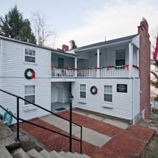
John Brett Richeson House
25.3 km
Blue Licks Battlefield State Park
22.4 km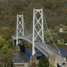
Simon Kenton Memorial Bridge
25.6 km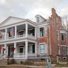
Phillips' Folly
25.4 km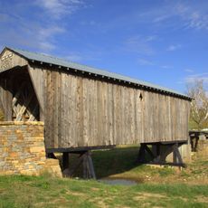
Goddard Covered Bridge
12.5 km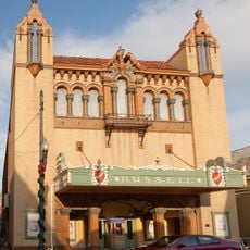
Russell Theatre
25.3 km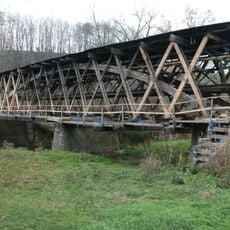
Johnson Creek Covered Bridge
21.9 km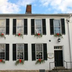
Washington Historic District
22.4 km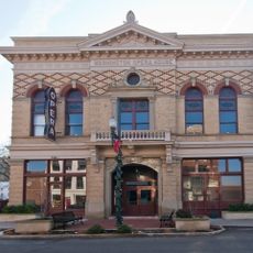
Washington Opera House
25.5 km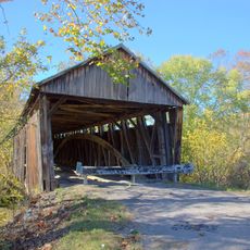
Cabin Creek Covered Bridge
23.3 km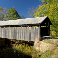
Ringos Mill Covered Bridge
20.3 km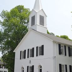
First Presbyterian Church
445 m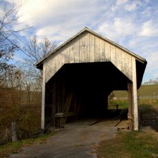
Hillsboro Covered Bridge
19.9 km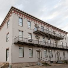
Lee House
25.5 km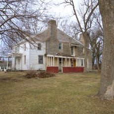
Newdigate-Reed House
25.2 km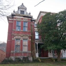
Cox-Hord House
25 km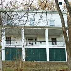
Pogue House
27.1 km
Aberdeen Mound
27.6 km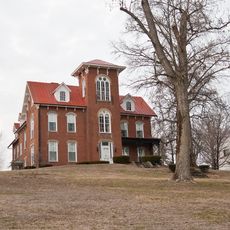
Point Au View
25.6 km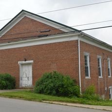
Elizaville Presbyterian Church
7.6 km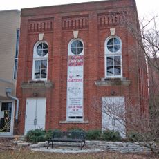
Old Library Building
25.5 km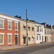
Armstrong Row
25.7 km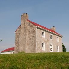
Poague House
13.5 km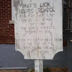
May's Lick Negro School
14 km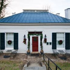
Henry Perviance Peers House
25.6 km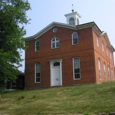
Robertson County Courthouse
28.8 km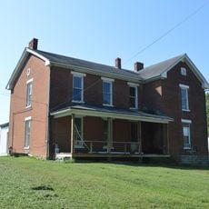
Thomas A. Dorsey Farmhouse
27.8 km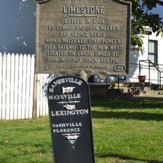
Limestone Historical Marker
25.4 kmReviews
Visited this place? Tap the stars to rate it and share your experience / photos with the community! Try now! You can cancel it anytime.
Discover hidden gems everywhere you go!
From secret cafés to breathtaking viewpoints, skip the crowded tourist spots and find places that match your style. Our app makes it easy with voice search, smart filtering, route optimization, and insider tips from travelers worldwide. Download now for the complete mobile experience.

A unique approach to discovering new places❞
— Le Figaro
All the places worth exploring❞
— France Info
A tailor-made excursion in just a few clicks❞
— 20 Minutes