
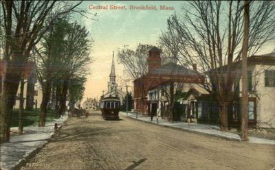
Brookfield, town in Massachusetts, USA
Location: Worcester County
Inception: 1660
Elevation above the sea: 218 m
Shares border with: Brimfield
Website: http://brookfieldma.us
GPS coordinates: 42.21389,-72.10278
Latest update: March 10, 2025 12:25
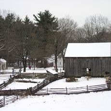
Old Sturbridge Village
11.7 km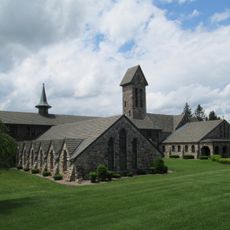
St. Joseph's Abbey
11.8 km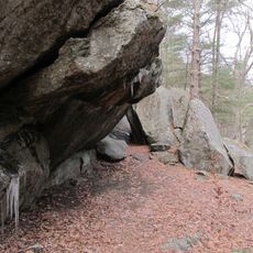
Rock House Reservation
10 km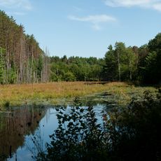
Wells State Park
8.1 km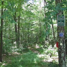
Spencer State Forest
8.5 km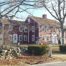
Barnes-Hill House
9 km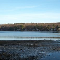
Sugden Reservoir
12.8 km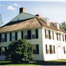
Oliver Wight House
11.5 km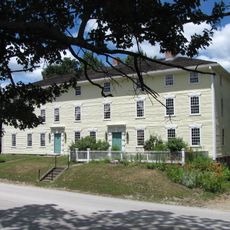
Rider Tavern
13.5 km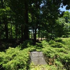
Lucy Stone Home Site
8.8 km
John Payson Williston Observatory
13.5 km
Ware Town Hall
12.7 km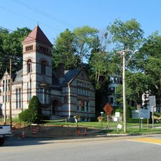
Warren Public Library
7.4 km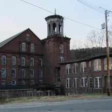
Gilbertville Historic District
13.5 km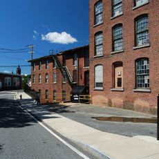
Ware Millyard Historic District
12.2 km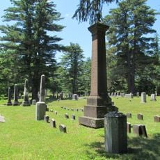
Brookfield Cemetery
921 m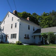
Northside Village Historic District
13.2 km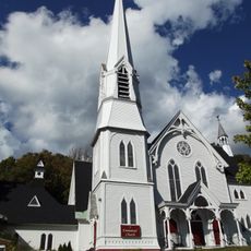
Warren First Congregational Church – Federated Church
7.4 km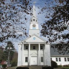
Sturbridge Common Historic District
12.1 km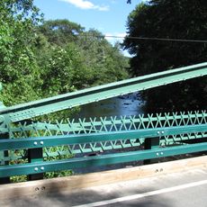
Crossman Bridge
11.8 km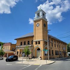
Warren Town Hall
7.6 km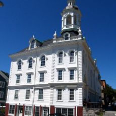
North Brookfield Town House
6.3 km
Jedediah Foster Homesite
3 km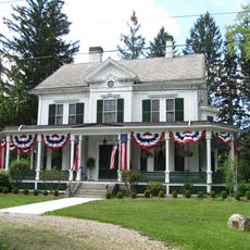
Elm Hill Farm Historic District
1.6 km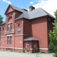
Pleasant Street School
9.5 km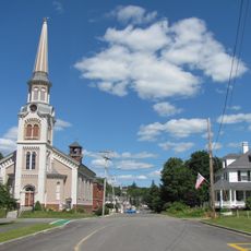
Brookfield Common Historic District
39 m
Wickaboag Valley Historic District
7.7 km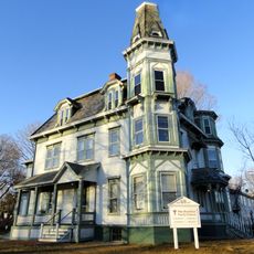
West Brookfield Center Historic District
3.9 kmReviews
Visited this place? Tap the stars to rate it and share your experience / photos with the community! Try now! You can cancel it anytime.
Discover hidden gems everywhere you go!
From secret cafés to breathtaking viewpoints, skip the crowded tourist spots and find places that match your style. Our app makes it easy with voice search, smart filtering, route optimization, and insider tips from travelers worldwide. Download now for the complete mobile experience.

A unique approach to discovering new places❞
— Le Figaro
All the places worth exploring❞
— France Info
A tailor-made excursion in just a few clicks❞
— 20 Minutes