
Sutton, town in Braxton County, West Virginia, USA
Location: West Virginia
Location: Braxton County
Elevation above the sea: 256 m
Website: http://suttonwv.com
GPS coordinates: 38.66444,-80.71028
Latest update: April 14, 2025 19:59
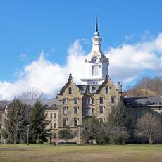
Trans-Allegheny Lunatic Asylum
46.5 km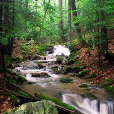
Holly River State Park
33.3 km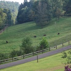
West Virginia State Wildlife Center
40.6 km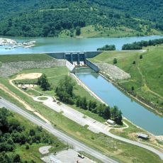
Burnsville Lake
21.1 km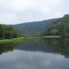
Cedar Creek State Park
27.6 km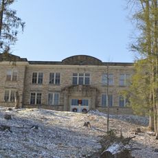
Old Main
44.6 km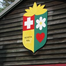
Helvetia Village Historic District
44.2 km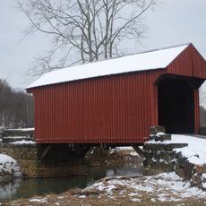
Walkersville Covered Bridge
30.6 km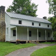
Cunningham House and Outbuildings
19.3 km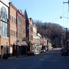
Weston Downtown Historic District
46.5 km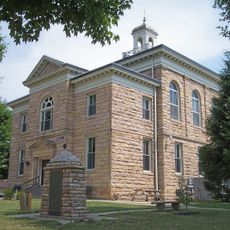
Nicholas County Courthouse
46.4 km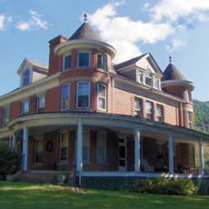
Morton House
33.6 km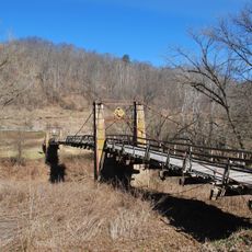
Duck Run Cable Suspension Bridge
30.1 km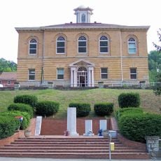
Old Clay County Courthouse
39.7 km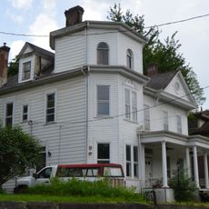
William Edgar Haymond House
98 m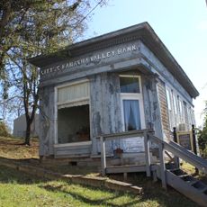
Little Kanawha Valley Bank
31.9 km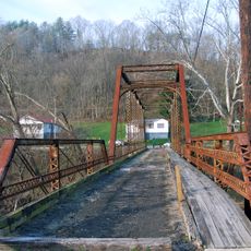
Burnsville Bridge
21.7 km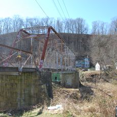
Glenville Truss Bridge
31.9 km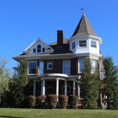
John E. Arbuckle House
32 km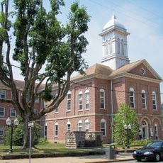
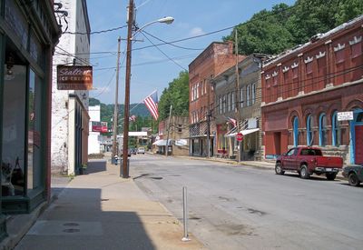
Sutton Downtown Historic District
217 m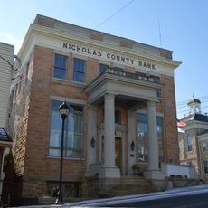
Nicholas County Bank
44.4 km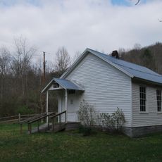
Windy Run Grade School
7.4 km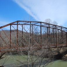
Stouts Mill Bridge
25.9 km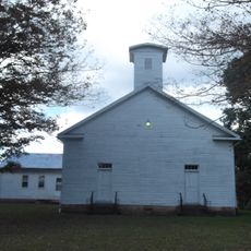
French Creek Presbyterian Church
43.1 km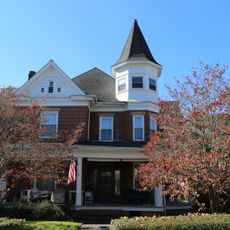
Whiting House
31.8 km
Upper Glady School
31.3 km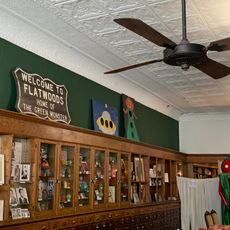
Flatwoods Monster Museum
99 m
New Deal Resources in Holly River State Park Historic District
30.4 kmVisited this place? Tap the stars to rate it and share your experience / photos with the community! Try now! You can cancel it anytime.
Discover hidden gems everywhere you go!
From secret cafés to breathtaking viewpoints, skip the crowded tourist spots and find places that match your style. Our app makes it easy with voice search, smart filtering, route optimization, and insider tips from travelers worldwide. Download now for the complete mobile experience.

A unique approach to discovering new places❞
— Le Figaro
All the places worth exploring❞
— France Info
A tailor-made excursion in just a few clicks❞
— 20 Minutes