Flat Rock

Log in to your account

AroundUs is a community-driven map of interesting places, built by curious explorers like you. It grows with every review, story, and photo you share.
Connect to save your favorite spots, contribute locations, and create personalized routes.
Continue with Google
Continue with Apple
Continue with X
Continue with Facebook
Continue with email
By continuing, you accept our Terms and Conditions and our Privacy Policy
Create an account
Add to collection
Map
Suggest a change
Share

Flat Rock, Riverside community in Wayne County, Michigan, US

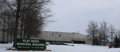
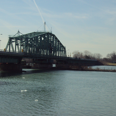
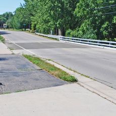
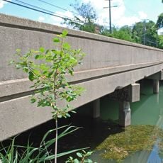
Flat Rock is a community in Michigan that stretches along the Huron River, combining residential areas, green spaces, and industrial structures. The town features distinct zones serving different purposes, from family neighborhoods to facilities supporting local employment and recreation.

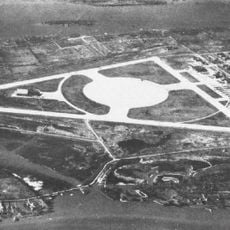
The settlement took root in the early 1800s when Michael Vreeland and his family purchased extensive land and named it after themselves. The arrival of Ford manufacturing in the early 1900s transformed the area into an important industrial center.

The Ford Festival each summer brings people together to celebrate the community's connection to the automobile industry and local heritage. The event reflects how residents continue to recognize the importance of manufacturing and industrial work in shaping their town's identity.

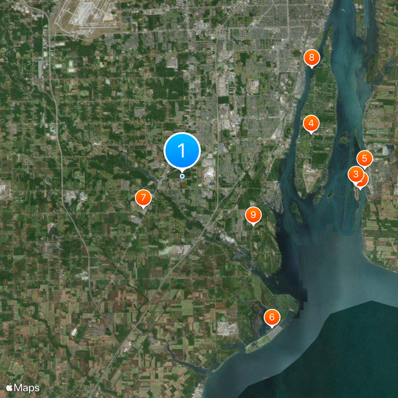
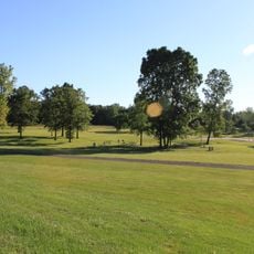
Multiple parks and shopping areas are spread throughout the community and remain easy to navigate on foot or by car. Spring through fall is ideal for visiting, as outdoor spaces and local events become more active during these months.

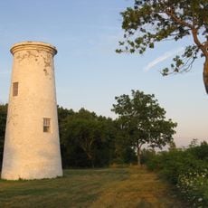
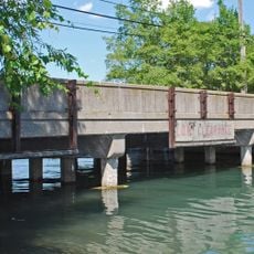
A Ford lamp factory built in 1925 relied on the Huron River's water power to drive its machinery and remains a reminder of how nature served industrial production. This structure shows how the river itself became part of the town's working life and economic history.

Location: Michigan

Elevation above the sea: 182 m

Shares border with: Brownstown Charter Township

Website: http://flatrockmi.org

GPS coordinates: 42.10194,-83.27278

Latest update: December 20, 2025 12:24

Photos
Around this place
Boblo Island Amusement Park
Canada

Boblo Island Amusement Park

12.9 km
Bois Blanc Island
Canada

Bois Blanc Island

12.6 km
Grosse Ile
United States of America

Grosse Ile

9.8 km
Fort Malden
Canada

Fort Malden

13.2 km
Pointe Mouillee State Game Area
United States of America

Pointe Mouillee State Game Area

12.7 km
United States of America

Flat Rock Speedway

3.6 km
Grosse Ile Toll Bridge
United States of America

Grosse Ile Toll Bridge

12.2 km
Lake Erie Metropark
United States of America

Lake Erie Metropark

6.2 km
Bois Blanc Island Lighthouse and Blockhouse
Canada

Bois Blanc Island Lighthouse and Blockhouse

12.7 km
Wayne County Bridge
United States of America

Wayne County Bridge

8.5 km
United States of America

Sugar Island

10.7 km
Amherstburg Royal Naval Dockyard
Canada

Amherstburg Royal Naval Dockyard

13.1 km
Willow Metropark
United States of America

Willow Metropark

9.4 km
East River Road Historic District
United States of America

East River Road Historic District

11.1 km
St. James Episcopal Church
United States of America

St. James Episcopal Church

11.1 km
Huron High School
United States of America

Huron High School

6.7 km
Jefferson Avenue–Huron River and Harbin Drive–Silver Creek Canal Bridges
United States of America

Jefferson Avenue–Huron River and Harbin Drive–Silver Creek Canal Bridges

8.2 km
Park House Museum
Canada

Park House Museum

13.2 km
Calf Island
United States of America

Calf Island

7.7 km
Gibraltar Road–Waterway Canal Bridge
United States of America

Gibraltar Road–Waterway Canal Bridge

6.8 km
United States of America

Fox Island

10.8 km
Waltz Road–Huron River Bridge
United States of America

Waltz Road–Huron River Bridge

12.6 km
Parke Lane Road–Thorofare Canal Bridge
United States of America

Parke Lane Road–Thorofare Canal Bridge

12.9 km
East River Road–North Hickory Canal Bridge
United States of America

East River Road–North Hickory Canal Bridge

10.1 km
South Pointe Drive–Frenchman's Creek Bridge
United States of America

South Pointe Drive–Frenchman's Creek Bridge

8.3 km
St. John's Lutheran Church and School
United States of America

St. John's Lutheran Church and School

9.6 km
Ferry Street–Thorofare Canal Bridge
United States of America

Ferry Street–Thorofare Canal Bridge

10.4 km
Bois Blanc Island Lighthouse
Canada

Bois Blanc Island Lighthouse

12.8 km
Show the full map
Reviews

Visited this place? Tap the stars to rate it and share your experience / photos with the community! Try now! You can cancel it anytime.

« Flat Rock - Riverside community in Wayne County, Michigan, US » is provided by Around Us (aroundus.com). Images and texts are derived from Wikimedia project under a Creative Commons license. You are allowed to copy, distribute, and modify copies of this page, under the conditions set by the license, as long as this note is clearly visible.

Discover hidden gems everywhere you go!

From secret cafés to breathtaking viewpoints, skip the crowded tourist spots and find places that match your style. Our app makes it easy with voice search, smart filtering, route optimization, and insider tips from travelers worldwide. Download now for the complete mobile experience.

Around Us App Screenshot

A unique approach to discovering new places

Le Figaro

All the places worth exploring

France Info

A tailor-made excursion in just a few clicks

20 Minutes