Enable Location

We need your location to show you interesting places around you

Discover nearby places

Find interesting locations and hidden gems around you

Precise directions

Get accurate directions and distances to places

Your location is never shared with other users. It's only used when you tap the location button.

Armour Square

Log in to your account

Start exploring — it's free

Trusted by 65,325 travelers worldwide

Continue with Google
Continue with Apple
or

We will send you a code to connect

By continuing, you accept our Terms and Conditions and our Privacy Policy

Check your inbox

We've sent a pincode in your inbox. Please enter the code below.

Discussion Reviews 1 Photos
18.9k Popularity

Armour Square, Community area on Chicago South Side, United States.

Armour Square is a community area on Chicago's South Side wedged between railroad tracks and expressways, organizing itself across three distinct zones with residential blocks, green spaces, and commercial corridors. These sections function as separate neighborhoods linked by neighborhood streets that give the overall area its varied character.

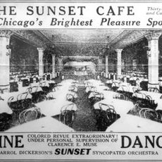
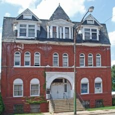
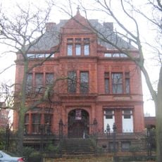
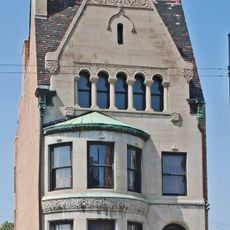
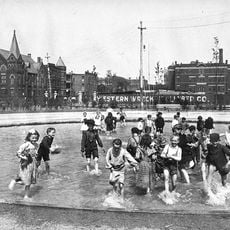
The neighborhood took shape during the Civil War era when German and Irish settlers established roots, followed by Swedish immigrants drawn by job opportunities. Later waves brought Chinese, Italian, and African American communities whose arrivals reshaped the area into what it is today.

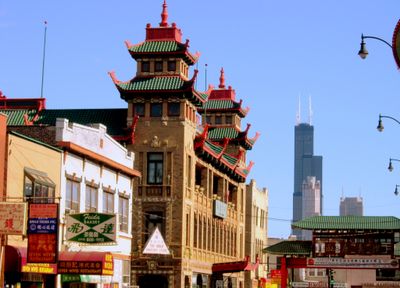
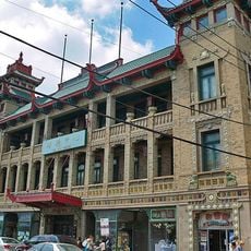
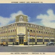
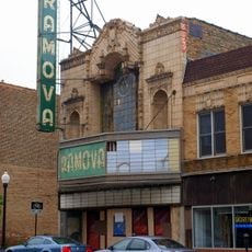
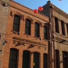
Three main ethnic communities shape daily life here: Chinese residents centered in the Chinatown area, Italian-Americans in the middle sections, and African Americans in the southern portions. Each group has maintained its own shops, restaurants, and gathering spaces that define the neighborhood's character today.

The area benefits from multiple transportation links including access to major highways, bus routes, and rail stations that connect to downtown and other Chicago neighborhoods. Getting around between the three sections is straightforward thanks to these transit options and local streets.

The current home of the Chicago White Sox, now called Guaranteed Rate Field, sits on ground where baseball has been played in this neighborhood since 1900. This enduring sports legacy anchors the area's identity and connects residents to over a century of local athletic history.

The community of curious travelers

AroundUs brings together thousands of curated places, local tips, and hidden gems, enriched daily by 60,000 contributors worldwide.

Start exploring
Location
Shares border with
Bridgeport, Lower West Side, Near South Side, Douglas, Fuller Park
GPS coordinates
41.84003,-87.63311
Latest update
March 5, 2026 21:06
Around this place
S. R. Crown Hall
United States of America

S. R. Crown Hall

866 m
Pilgrim Baptist Church
United States of America

Pilgrim Baptist Church

1.1 km
Ida B. Wells-Barnett House
United States of America

Ida B. Wells-Barnett House

1.7 km
Sunset Cafe
United States of America

Sunset Cafe

1.6 km
Pui Tak Center
United States of America

Pui Tak Center

1.4 km
Victory Monument
United States of America

Victory Monument

1.7 km
Motor Row District
United States of America

Motor Row District

1.6 km
Unity Hall
United States of America

Unity Hall

914 m
Sydney Kent House
United States of America

Sydney Kent House

744 m
Eighth Regiment Armory
United States of America

Eighth Regiment Armory

1.5 km
Canal Street railroad bridge
United States of America

Canal Street railroad bridge

1.8 km
Wabash Avenue YMCA
United States of America

Wabash Avenue YMCA

1.7 km
Roloson Houses
United States of America

Roloson Houses

1.3 km
Illinois Institute of Technology Academic Campus
United States of America

Illinois Institute of Technology Academic Campus

686 m
Chicago Bee Building
United States of America

Chicago Bee Building

1.5 km
Harriet F. Rees House
United States of America

Harriet F. Rees House

1.9 km
Armour Square Park
United States of America

Armour Square Park

718 m
Chicago Defender Building
United States of America

Chicago Defender Building

1.3 km
Supreme Life Building
United States of America

Supreme Life Building

1.7 km
Dunbar Park
United States of America

Dunbar Park

1 km
Ramova Theater
United States of America

Ramova Theater

1.6 km
Overton Hygienic Building
United States of America

Overton Hygienic Building

1.5 km
John W. Griffiths Mansion
United States of America

John W. Griffiths Mansion

1.8 km
Cermak Road Bridge Historic District
United States of America

Cermak Road Bridge Historic District

1.5 km
Martin Roche–John Tait House
United States of America

Martin Roche–John Tait House

1.7 km
Chinese American Museum of Chicago
United States of America

Chinese American Museum of Chicago

1.2 km
Cermak Road Bridge
United States of America

Cermak Road Bridge

1.5 km
The Platt Luggage Company Building
United States of America

The Platt Luggage Company Building

1.8 km
Show the full map
Reviews
Share your experience

No review yet

Discussions
Start a discussion...

No discussion yet

« Armour Square - Community area on Chicago South Side, United States » is provided by Around Us (aroundus.com). Images and texts are derived from Wikimedia project under a Creative Commons license. You are allowed to copy, distribute, and modify copies of this page, under the conditions set by the license, as long as this note is clearly visible.

Discover hidden gems everywhere you go!

From secret cafés to breathtaking viewpoints, skip the crowded tourist spots and find places that match your style. Our app makes it easy with voice search, smart filtering, route optimization, and insider tips from travelers worldwide. Download now for the complete mobile experience.

Around Us App Screenshot

A unique approach to discovering new places

Le Figaro

All the places worth exploring

France Info

A tailor-made excursion in just a few clicks

20 Minutes

Around Us
Travel Guide & Maps
Download

Send to your phone

QR Code
1

Open the camera app on your mobile.

2

Point at the QR code with your camera. A notification will appear.

3

Tap the notification to open the link.