
Irasburg, town in Vermont
Location: Orleans County
Inception: February 23, 1781
Elevation above the sea: 313 m
GPS coordinates: 44.80611,-72.26778
Latest update: April 17, 2025 16:31
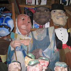
Bread and Puppet Theater
15.3 km
Jay Peak
24.2 km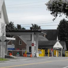
Beebe Plain Border Crossing
24.3 km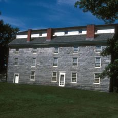
Old Stone House Museum
8.7 km
Mount Hor
19.9 km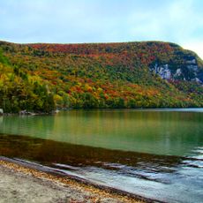
Willoughby State Forest
19.1 km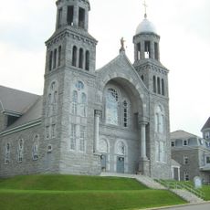
St. Mary Star of the Sea
14.6 km
Brownington Village Historic District
8.5 km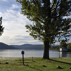
Crystal Lake State Park
10.1 km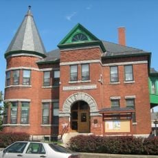
Goodrich Memorial Library
15.1 km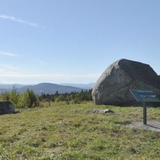
Sentinel Rock State Park
18.6 km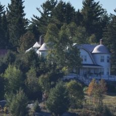
Fox Hall
15.8 km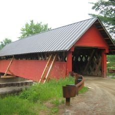
River Road Covered Bridge
19.4 km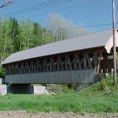
Orne Covered Bridge
6.1 km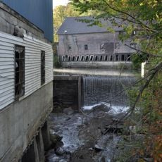
Crystal Lake Falls Historic District
9.8 km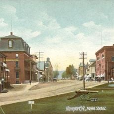
Newport Downtown Historic District
15.3 km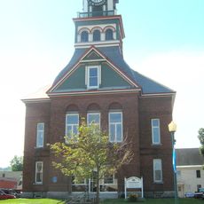
Orleans County Courthouse and Jail Complex
15 km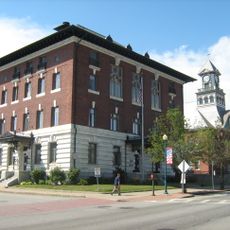
United States Courthouse, Post Office and Customs House
14.9 km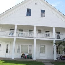
L. P. Jenne Block
18.9 km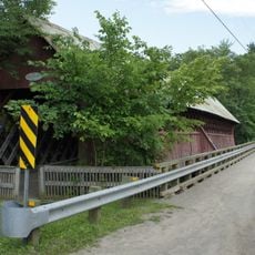
Pont de la Frontière
24.4 km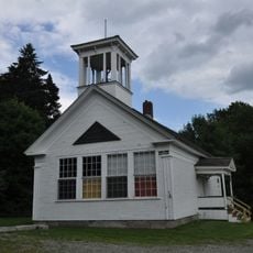
District Number Four School
20.6 km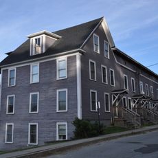
King Block
9.6 km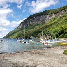
South Beach
21.2 km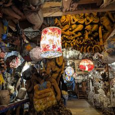
Bread & Puppet Theatre
15.3 km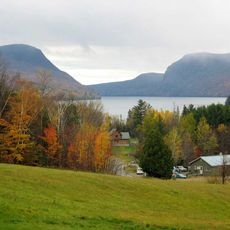
Lake Willoughby
17.3 km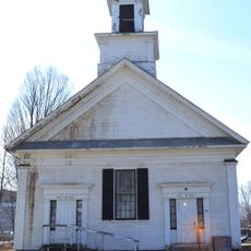
Église Advent Christian
24.5 km
ROL Camp Beach
4.1 km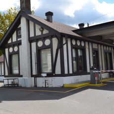
Beebe Border Crossing Facility
24.4 kmReviews
Visited this place? Tap the stars to rate it and share your experience / photos with the community! Try now! You can cancel it anytime.
Discover hidden gems everywhere you go!
From secret cafés to breathtaking viewpoints, skip the crowded tourist spots and find places that match your style. Our app makes it easy with voice search, smart filtering, route optimization, and insider tips from travelers worldwide. Download now for the complete mobile experience.

A unique approach to discovering new places❞
— Le Figaro
All the places worth exploring❞
— France Info
A tailor-made excursion in just a few clicks❞
— 20 Minutes