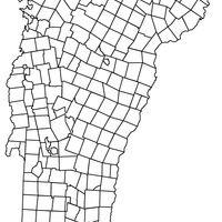
Orleans County, Administrative county in northeastern Vermont, United States
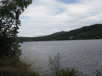
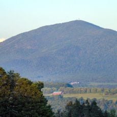
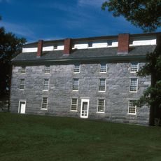
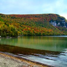
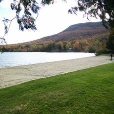
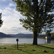
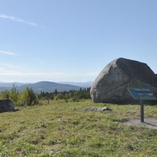
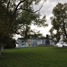
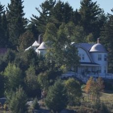
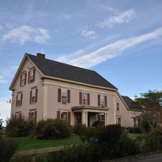
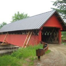
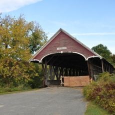
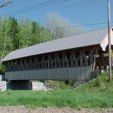
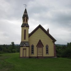
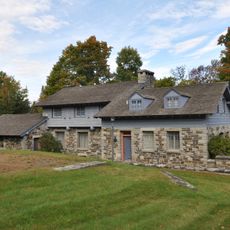
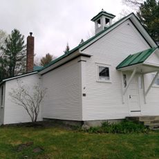
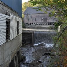
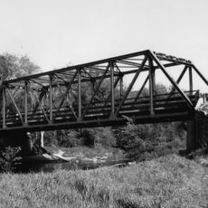
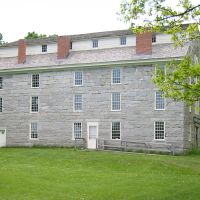
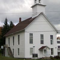
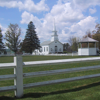
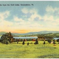
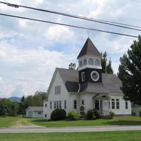
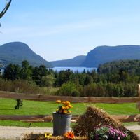
Orleans County is an administrative county in northeastern Vermont encompassing several towns, lakes, and rural areas. The landscape features forested hills, river valleys, and farmland that shapes much of what you see when traveling through the region.
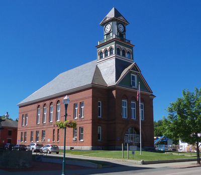
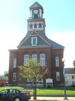
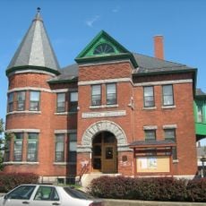
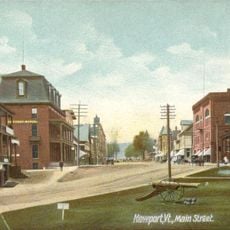
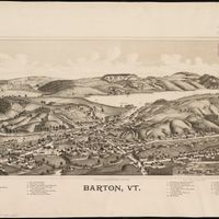
The county was formed in 1792 when Chittenden and Orange counties were divided, with Newport chosen as its administrative center. Growth came gradually through farming settlement and development that shaped the region into what it is today.
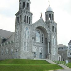
French-speaking communities have shaped daily life here, and their influence remains visible in local names, traditions, and how people gather. You notice this heritage reflected in the way residents interact and celebrate together.
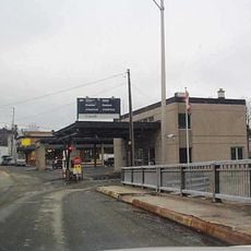
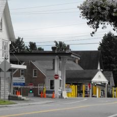
The area connects to Quebec across its northern border and Interstate 91 provides the main transportation route through the region. A car is the most practical way to explore the towns, farmland, and natural areas spread across the county.
In 1810, an underground lake burst through and released a massive amount of water into the Barton River Valley, creating one of the region's most dramatic natural events. This incident, called Runaway Pond, left lasting marks on the landscape and local memory.
Location: Vermont
Inception: 1792
Capital city: Newport
Shares border with: Essex County, Caledonia County, Lamoille County, Franklin County, Brome-Missisquoi, Memphrémagog, Coaticook
GPS coordinates: 44.84440,-72.21824
Latest update: December 7, 2025 10:07
Haskell Free Library and Opera House
20.3 km
Bread and Puppet Theater
18.1 km
Jay Peak
25.8 km
Derby Line–Stanstead Border Crossing
20.3 km
Burke Mountain
39.9 km
Beebe Plain Border Crossing
18.9 km
Big Jay
26.6 km
Old Stone House Museum
4.2 km
Mount Hor
19.6 km
Willoughby State Forest
18.9 km
St. Mary Star of the Sea
9.8 km
Brownington Village Historic District
4 km
Green River Reservoir State Park
34.8 km
Crystal Lake State Park
11.6 km
Goodrich Memorial Library
10.2 km
Sentinel Rock State Park
15.7 km
Burklyn Hall
35.3 km
Fox Hall
13.9 km
Darling Estate Historic District
35.3 km
River Road Covered Bridge
18.6 km
Centre Covered Bridge
37.6 km
Orne Covered Bridge
4.8 km
Methodist Episcopal Church
33.6 km
Toll House
37.4 km
Cobb School
33.5 km
Crystal Lake Falls Historic District
11.4 km
Lamoille River Route 15-A Bridge
41.6 km
Newport Downtown Historic District
10.4 kmReviews
Visited this place? Tap the stars to rate it and share your experience / photos with the community! Try now! You can cancel it anytime.
Discover hidden gems everywhere you go!
From secret cafés to breathtaking viewpoints, skip the crowded tourist spots and find places that match your style. Our app makes it easy with voice search, smart filtering, route optimization, and insider tips from travelers worldwide. Download now for the complete mobile experience.
A unique approach to discovering new places❞
— Le Figaro
All the places worth exploring❞
— France Info
A tailor-made excursion in just a few clicks❞
— 20 Minutes