Chest opened
+${chestReward.xp} XP
Explorer
NOUVEAU ×${chestReward.collectible.quantity}
tapez pour fermer

See the monuments around you in AR Open chests in the app

Around Us is built for your phone — point your camera at the streets and discover the monuments and places around you in augmented reality. Around Us is built for your phone — chests unlock when you walk, explore and capture nearby places.

•

Enable Location

We need your location to show you interesting places around you

Discover nearby places

Find interesting locations and hidden gems around you

Precise directions

Get accurate directions and distances to places

Your location is never shared with other users. It's only used when you tap the location button.

Okanogan National Forest

Log in to your account

Start exploring — it's free

Trusted by 94,479 travelers worldwide

Continue with Google
Continue with Apple
or

We will send you a code to connect

By continuing, you accept our Terms and Conditions and our Privacy Policy

Check your inbox

We've sent a pincode in your inbox. Please enter the code below.

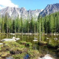
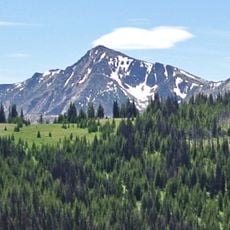
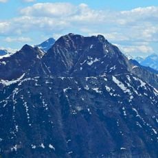
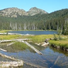
Okanogan National Forest, National forest in Washington, United States

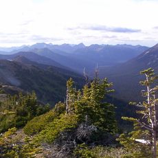
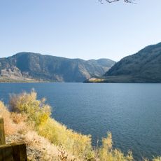
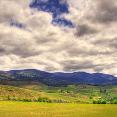
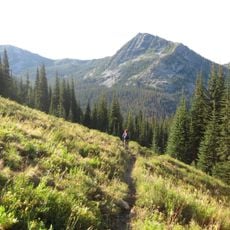
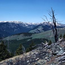
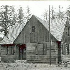
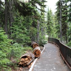
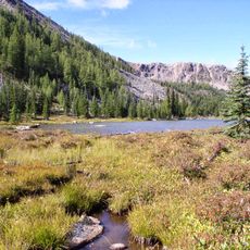
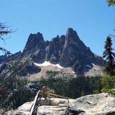
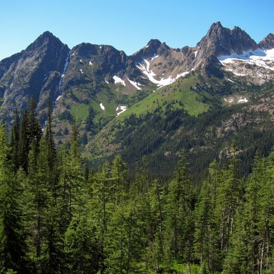
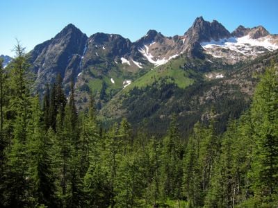
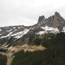
Okanogan National Forest is a large protected area in northern Washington, covering over a million acres of mountains, valleys, and rivers. It sits along the Canadian border and offers a range of landscapes from dry pine woods to high alpine terrain.

The forest was established in 1908 as the Okanogan National Forest, after earlier protections in the late 1800s. In 2000, it was combined with the Wenatchee National Forest for management, though it keeps its name.

The name Okanogan comes from the Okanagan people who have lived in the region for thousands of years. Today, visitors can see their influence in local place names and in the annual gatherings that celebrate the area's first peoples.

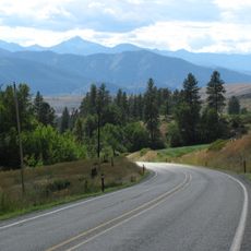
Access is mainly via U.S. Highway 97 and State Route 20, with many gravel roads leading to trailheads. Check road conditions before you go, as some areas are closed by snow from late fall to spring.

The forest contains the Pasayten Wilderness, a roadless area that is one of the largest in the contiguous United States. It is also home to a small population of grizzly bears, which are rarely seen.

The community of curious travelers

AroundUs brings together thousands of curated places, local tips, and hidden gems, enriched daily by 94,479 contributors worldwide.
Start exploring
Location
Inception
1955
Operator
United States Forest Service
Part of
Okanogan–Wenatchee National Forest
GPS coordinates
48.63028,-120.08000
Latest update
November 9, 2026 18:31
Around this place
Washington pass
United States of America

Washington pass

27.3 mi
Pasayten Wilderness
United States of America

Pasayten Wilderness

24.5 mi
Palmer Lake
United States of America

Palmer Lake

28.1 mi
Conconully State Park
United States of America

Conconully State Park

15.8 mi
Pearrygin Lake State Park
United States of America

Pearrygin Lake State Park

10.1 mi
Lake Chelan-Sawtooth Wilderness
United States of America

Lake Chelan-Sawtooth Wilderness

27.5 mi
Chopaka Mountain
United States of America

Chopaka Mountain

26.3 mi
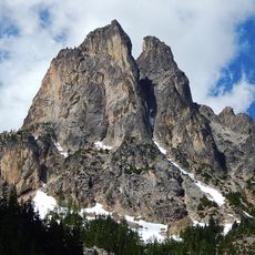
Early Winters Spires
United States of America

Early Winters Spires

27.7 mi
Loup Loup Pass
United States of America

Loup Loup Pass

18.9 mi
Raven Ridge
United States of America

Raven Ridge

29 mi
Windy Peak
United States of America

Windy Peak

23.4 mi
Mother Lode
United States of America

Mother Lode

27.7 mi
Dagger Lake
United States of America

Dagger Lake

28.6 mi
Early Winters Ranger Station Work Center
United States of America

Early Winters Ranger Station Work Center

16.2 mi
Washington Pass Overlook Trail
United States of America

Washington Pass Overlook Trail

27 mi
Smith Lake
United States of America

Smith Lake

25.1 mi
Washington Pass Overlook
United States of America

Washington Pass Overlook

27 mi
Slate Peak Lookout
United States of America

Slate Peak Lookout

28.5 mi
Horseshoe Mountain
United States of America

Horseshoe Mountain

24.3 mi
United States of America

Homestream Park

11.8 mi
United States of America

Okanogan County Electric Cooperative

11.6 mi
United States of America

Wings of the West Wind

11.8 mi
United States of America

Public Swimming Hole

17.2 mi
United States of America

Tonasket Comancheros Rodeo Grounds

29.1 mi
United States of America

Washington Pass Overlook

26.9 mi
United States of America

Stiletto Peak Lookout Site

29.2 mi
United States of America

Sagebrush Overlook

14.8 mi
United States of America

Scenic viewpoint

18 mi
Show the full map
Reviews
Share your experience

No review yet

Discussions
Start a discussion...

No discussion yet

« Okanogan National Forest - National forest in Washington, United States » is provided by Around Us (aroundus.com). Images and texts are derived from Wikimedia project under a Creative Commons license. You are allowed to copy, distribute, and modify copies of this page, under the conditions set by the license, as long as this note is clearly visible.

Discover hidden gems everywhere you go!

From secret cafés to breathtaking viewpoints, skip the crowded tourist spots and find places that match your style. Our app makes it easy with voice search, smart filtering, route optimization, and insider tips from travelers worldwide. Download now for the complete mobile experience.

Around Us App Screenshot
❝

A unique approach to discovering new places❞

— Le Figaro

❝

All the places worth exploring❞

— France Info

❝

A tailor-made excursion in just a few clicks❞

— 20 Minutes

Around Us
Travel Guide & Maps
Download

Send to your phone

QR Code
1

Open the camera app on your mobile.

2

Point at the QR code with your camera. A notification will appear.

3

Tap the notification to open the link.