Erie Triangle, Geographic region in Northwestern Pennsylvania, United States.
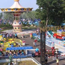
The Erie Triangle is a geographic region in northwestern Pennsylvania that connects the state directly to Lake Erie, forming an unusual irregular boundary in the state's corner. The territory encompasses a significant landmass with the port city of Erie at its center, serving as a hub for water-based commerce and transportation.
Pennsylvania acquired this territory in 1792 from the federal government, settling long-standing disputes with neighboring states over ownership and control. The purchase gave the state its only direct access to Lake Erie and opened new pathways for trade and growth.
The Seneca Nation shaped this territory for centuries, and their influence remains visible in local place names and land patterns that define the region today. This indigenous heritage connects the modern landscape to its original inhabitants.
The region is best explored during warmer months when lake access and surrounding areas are most accessible to visitors. Planning ahead and checking local conditions helps ensure a smooth visit, particularly if you want to experience the waterfront areas or coastal routes.
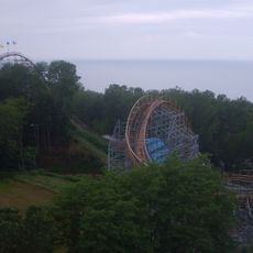
The waters near this territory hold the remains of many vessels lost during severe storms across Lake Erie's long history. These submerged wrecks serve as reminders of the challenging conditions that mariners once faced in these waters.
The community of curious travelers
AroundUs brings together thousands of curated places, local tips, and hidden gems, enriched daily by 60,000 contributors worldwide.