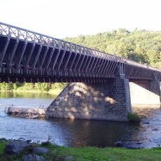
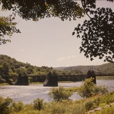
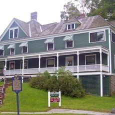
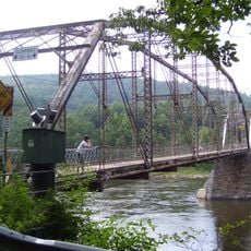
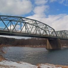
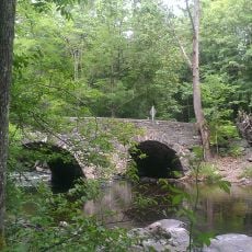
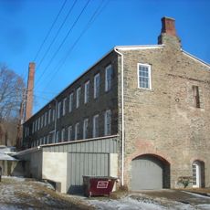
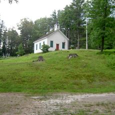
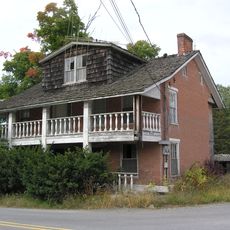
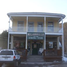
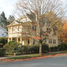
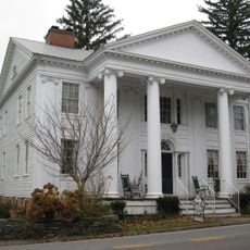
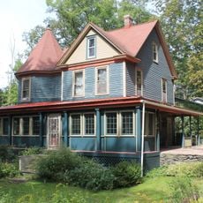
Tusten, human settlement in Sullivan County, New York, United States of America
Location: Sullivan County
Elevation above the sea: 340 m
GPS coordinates: 41.55528,-75.01917
Latest update: March 13, 2025 03:37
Bethel Woods Center for the Arts
19.7 km
Roebling's Delaware Aqueduct
8.6 km
Upper Delaware Scenic and Recreational River
10 km
Zane Grey Museum
8.2 km
Pond Eddy Bridge
21 km
Stone Arch Bridge
22.1 km
Skinners Falls–Milanville Bridge
13.1 km
Barryville–Shohola Bridge
12.5 km
Narrowsburg–Darbytown Bridge
7 km
Cochecton–Damascus Bridge
17.1 km
Callicoon Bridge
23.6 km
Arlington Hotel
6.9 km
Delaware and Hudson Canal Company Office
8.5 km
Tusten Stone Arch Bridge
96 m
Eugene Dorflinger Estate
15.7 km
Ten Mile River Baptist Church
565 m
Lord House
21.2 km
Milanville Historic District
13.4 km
Honesdale Residential Historic District
20.2 km
Wilmot Mansion
23.1 km
Parsonage Road Historic District
17.4 km
Wilmot House
23 km
Damascus Historic District
17.8 km
Narrowsburg Methodist Church
6.6 km
Cochecton Presbyterian Church
17.3 km
Cochecton Center Methodist Episcopal Church
11.6 km
Valleau Tavern
17.5 km
Ellery Calkins House
17.3 kmReviews
Visited this place? Tap the stars to rate it and share your experience / photos with the community! Try now! You can cancel it anytime.
Discover hidden gems everywhere you go!
From secret cafés to breathtaking viewpoints, skip the crowded tourist spots and find places that match your style. Our app makes it easy with voice search, smart filtering, route optimization, and insider tips from travelers worldwide. Download now for the complete mobile experience.
A unique approach to discovering new places❞
— Le Figaro
All the places worth exploring❞
— France Info
A tailor-made excursion in just a few clicks❞
— 20 Minutes