
Java, town in New York state
Location: Wyoming County
Inception: 1832
Elevation above the sea: 464 m
GPS coordinates: 42.65556,-78.37694
Latest update: May 7, 2025 19:20
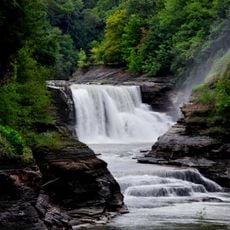
Letchworth State Park
32.3 km
Roycroft
23.3 km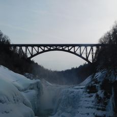
Genesee Arch Bridge
28.2 km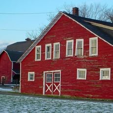
Knox Farm State Park
25.5 km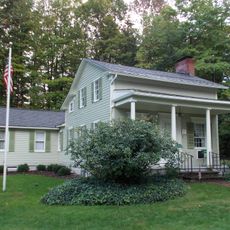
Fillmore House
23.7 km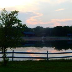
Darien Lakes State Park
27.6 km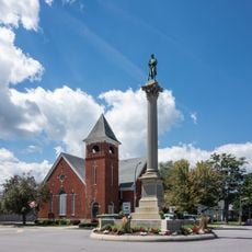
Monument Circle Historic District
22.3 km
Toy Town Museum
23.3 km
Springville Center for the Arts
28.8 km
George and Gladys Scheidemantel House
23.5 km
Portage Viaduct
28.2 km
Seth M. Gates House
21.9 km
First Universalist Church of Portageville
28.9 km
Citizens National Bank
28.9 km
Baker Memorial Methodist Episcopal Church
23.7 km
Salem Welsh Church
18.9 km
Exchange Street Historic District
24.4 km
Griffins Mills Presbyterian Church
24.8 km
Warsaw Academy
22 km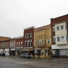
Warsaw Downtown Historic District
22.1 km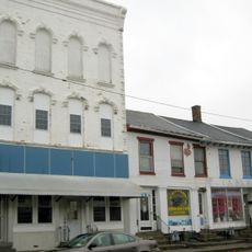
Attica Market and Main Historic District
24.5 km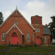
First Free Will Baptist Church of Pike
21.3 km
Rider-Hopkins Farm and Olmsted Camp
17.7 km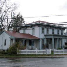
East Hill Historic District
28.3 km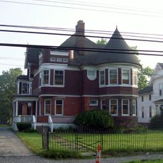
Augustus A. Smith House
24.4 km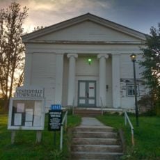
Centerville Town Hall
22.3 km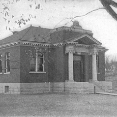
Cordelia A. Greene Library
26.8 km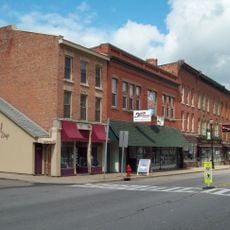
East Main-Mechanic Streets Historic District
28.8 kmReviews
Visited this place? Tap the stars to rate it and share your experience / photos with the community! Try now! You can cancel it anytime.
Discover hidden gems everywhere you go!
From secret cafés to breathtaking viewpoints, skip the crowded tourist spots and find places that match your style. Our app makes it easy with voice search, smart filtering, route optimization, and insider tips from travelers worldwide. Download now for the complete mobile experience.

A unique approach to discovering new places❞
— Le Figaro
All the places worth exploring❞
— France Info
A tailor-made excursion in just a few clicks❞
— 20 Minutes