Guayama barrio-pueblo, historical center and municipality seat of Guayama, Puerto Rico
Location: Guayama
Elevation above the sea: 39 m
GPS coordinates: 17.97670,-66.11420
Latest update: March 7, 2025 03:18
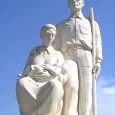
Monumento al Jíbaro Puertorriqueño
15.2 km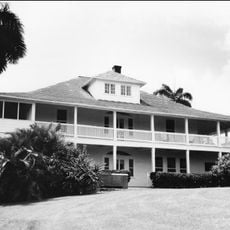
Central Aguirre Historic District
11.9 kmCarite State Forest
15.8 km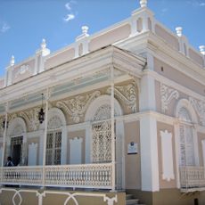
Casa Cautiño
1 km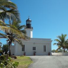
Punta Tuna Light
24.3 km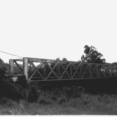
Arenas Bridge
17.7 km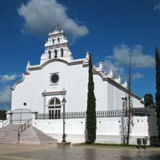
San Blas de Illescas Church (Coamo)
28.1 kmLa Robleda Natural Protected Area
12.4 km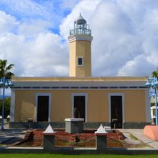
Punta de las Figuras Light
7.5 km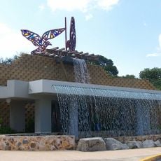
William Miranda Marín Botanical and Cultural Garden
29.4 km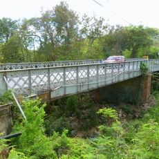
Cayey Bridge
2.9 km
Planadas-Yeyesa Nature Reserve
16.3 km
Punta Yeguas
29.7 km
Punta Petrona
28.9 km
La Liendre Bridge
17.7 km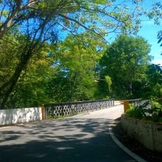
Puente de las Calabazas
24.5 km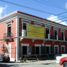
Pico Pomar Residence
28.2 km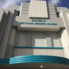
Aguayo Aldea Vocational High School
29.8 km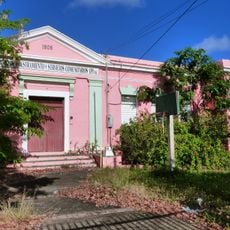
Eleuterio Derkes Grammar School
633 m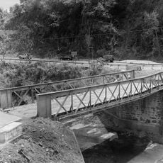
Río Hondo Bridge
29.2 km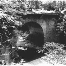
General Méndez Vigo Bridge
29.2 km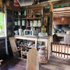
Hacienda Los Maldonado
15.8 km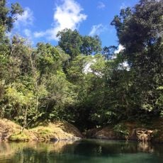
Charco Azul
15.7 km
La Casa del Cuento y de la Historia Cayeyana Ramón "Moncho" Gómez
16.1 km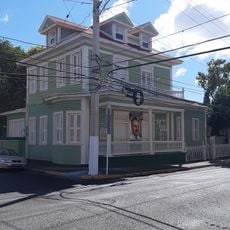
Casa y Museo del Poeta Luis Palés Matos
836 m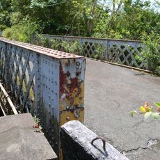
Carretera Central historic district
25 km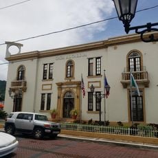
Maunabo City Hall
23 km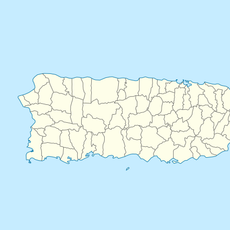
Lago Patillas
11.1 kmVisited this place? Tap the stars to rate it and share your experience / photos with the community! Try now! You can cancel it anytime.
Discover hidden gems everywhere you go!
From secret cafés to breathtaking viewpoints, skip the crowded tourist spots and find places that match your style. Our app makes it easy with voice search, smart filtering, route optimization, and insider tips from travelers worldwide. Download now for the complete mobile experience.

A unique approach to discovering new places❞
— Le Figaro
All the places worth exploring❞
— France Info
A tailor-made excursion in just a few clicks❞
— 20 Minutes